2020s Maps of Ironwood Township, Michigan
Explore 10 historic maps of Ironwood Township from the 2020s. These maps offer a rare glimpse into what life looked like during the 2020s — showing old roads, neighborhoods, homes, and landmarks that have changed or disappeared over time.
Whether you're researching your family's past, planning a metal detecting trip, or studying how Ironwood Township's landscape evolved across the 2020s, these high-resolution maps are a powerful tool for exploring the history of this region.
- Focus on a specific era: All maps on this page are from the 2020s, giving you a focused view of this time period.
- See what’s changed: Compare century-old streets, trails, and buildings to today's modern landscape using overlays and satellite layers.
- Research with precision: Use these maps for genealogy, historical research, land use analysis, or educational projects.
- View, download, or print: Maps are fully viewable online in high resolution, and can be downloaded or printed for your own records.
Start exploring Ironwood Township's history through authentic maps from the 2020s. This is your window into the past.
Ironwood Township, MI maps
(10)- 2022 Map of Oronto Bay, 2022 Print
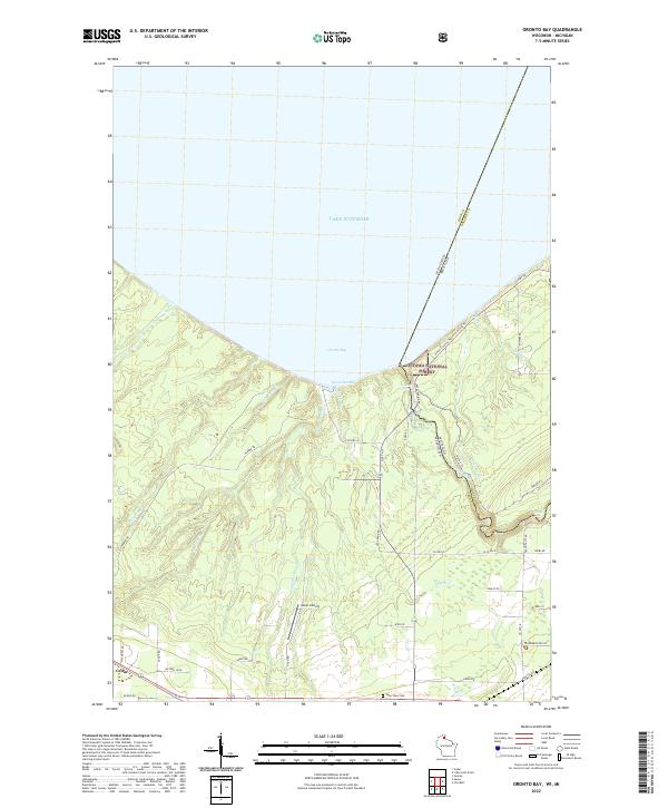 2022 Oronto Bay2022 Print · USGSAlong the shores of Lake Superior in the early 2020s, this area traces the border between Wisconsin and Michigan near the mouth of the Montreal River. Explore the coastal terrain around Saxon Harbor and locate the nearby Lake View Cemetery and the settlement of Cedar.
 - 2023 Map of North Ironwood, 2023 Print
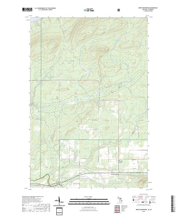 2023 North Ironwood2023 Print · USGSGogebic County, Michigan, is shown here as it appears today, where wilderness and rural settlement meet near the Wisconsin border. Researchers can trace the North Country National Scenic Trl through the forest or locate local hubs like Hautala Corner and Junet.
 - 2023 Map of Black River Harbor, 2023 Print
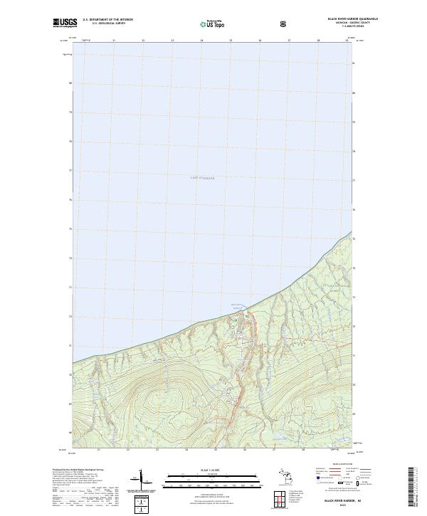 2023 Black River Harbor2023 Print · USGSThe shoreline of the western Upper Peninsula meets the deep waters of Lake Superior in the early 2020s. Trace the path of the river through the Ottawa National Forest past Rainbow Falls and Potawatomi Falls.
 - 2023 Map of Nighthawk Creek, 2023 Print
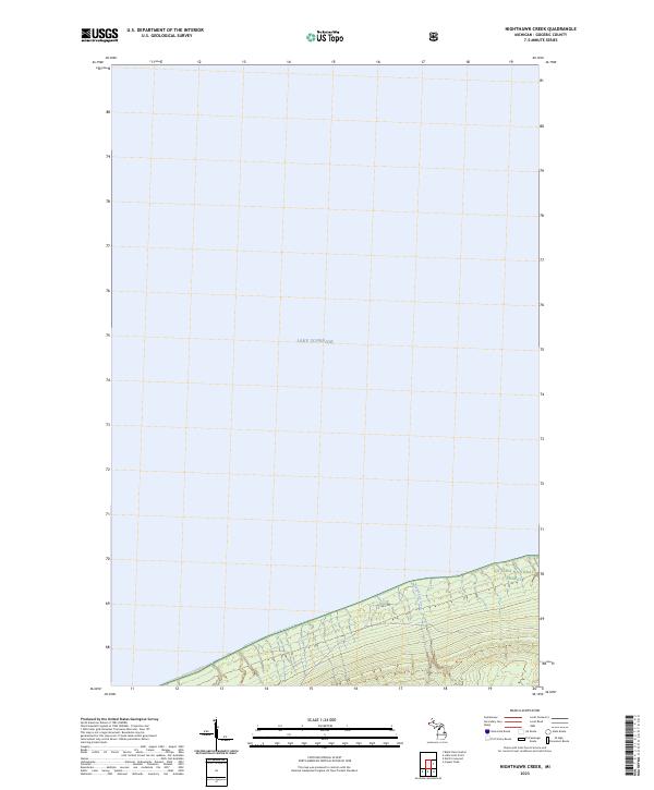 2023 Nighthawk Creek2023 Print · USGSThe northern shore of the Upper Peninsula meets the Great Lakes in the early 2020s, showing a landscape defined by protected woods and water. Trace the drainage of Nighthawk Creek and the path of Jarvi Rd through the Ottawa National Forest.
 - 2023 Map of Little Girls Point, 2023 Print
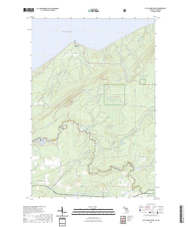 2023 Little Girls Point2023 Print · USGSGogebic County's shoreline and the Wisconsin border come into focus in this contemporary survey of the Upper Peninsula. Researchers can trace the path of the Montreal River or locate the Historic Indian Burial Grounds at Little Girls Point.
 - 2023 Map of Tiebel Creek, 2023 Print
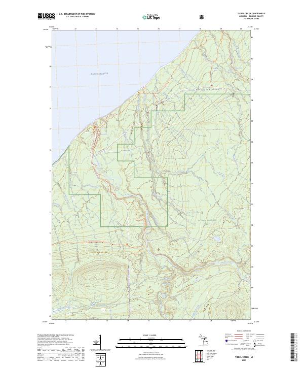 2023 Tiebel Creek2023 Print · USGSThe western Upper Peninsula shoreline meets the Porcupine Mountains in this modern survey of the Lake Superior coast. Hikers and historians can trace the North Country National Scenic Trl past remote landmarks like Manabezho Falls and Trappers Falls.
 - 2023 Map of Thomaston, 2023 Print
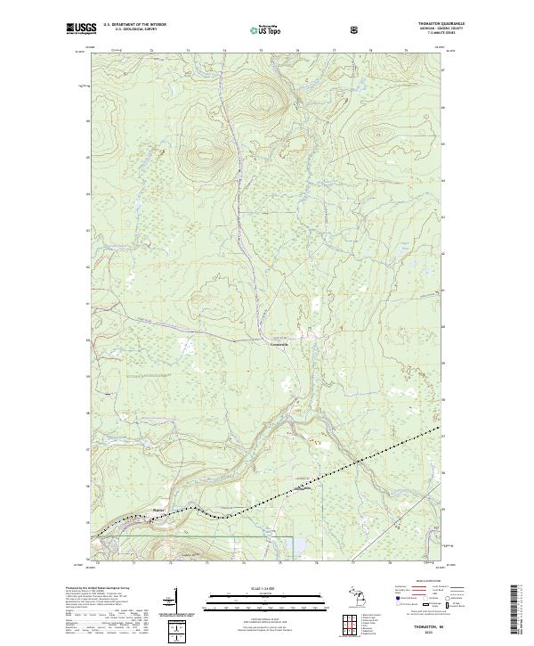 2023 Thomaston2023 Print · USGSGogebic County’s high ridges and deep woods are mapped here in the modern era, showing the quiet settlements of Thomaston and Connorville. Local researchers can trace old routes like Planter Rd and locate landmarks like Gabro Falls or the Gogebic Range.
 - 2023 Map of Copper Peak, 2023 Print
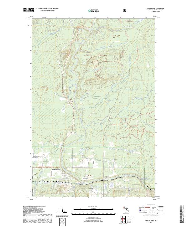 2023 Copper Peak2023 Print · USGSGogebic County's high-relief terrain comes into focus in this recent survey of the area around North Bessemer. Researchers can trace the wild course of the Black Wild and Scenic River and locate landmarks like Copper Peak, Algonquin Falls, and Auvinen Corner.
 - 2023 Map of Bessemer, 2023 Print
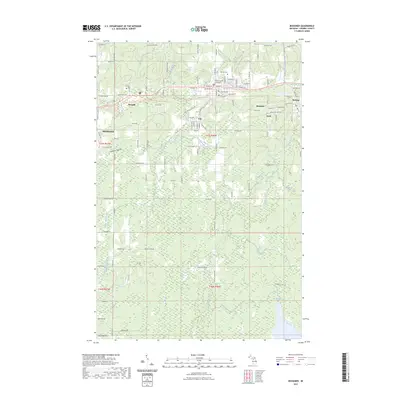 2023 Bessemer2023 Print · USGSBessemer and the mining towns of the Gogebic Range are captured in this contemporary look at Michigan’s Upper Peninsula. Trace the residential layouts of Yale and Anvil or follow the transition of historic transport routes into the Ironwood to Bessemer State Trl.
 - 2023 Map of Ironwood, 2023 Print
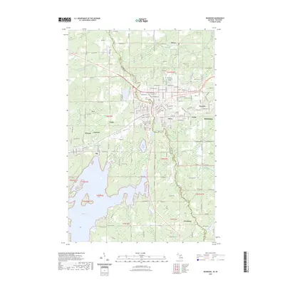 2023 Ironwood2023 Print · USGSIronwood and Hurley stand at the border of Michigan and Wisconsin in the 2020s, showing a landscape defined by the Gogebic Range. Genealogists can trace local roots at Riverside Cem or Hurley Cem, while following the Montreal River.
End of results
Showing maps 1-10 of 10
Top cities near Ironwood Township
- Ironwood historical maps
- Wakefield historical maps
- Bessemer historical maps
- Hurley historical maps
- Montreal historical maps
- Kimball historical maps
See more
Top neighborhoods of Ironwood Township
- Little Girl's Point historical maps
- Junet historical maps
- North Ironwood historical maps
- North Bessemer historical maps
- Auvinen Corner historical maps
- Hautala Corner historical maps
See more
Frequently asked questions
- What are the different types of historical maps available for Ironwood Township?
- What is the oldest map of Ironwood Township?
- Where can I purchase historical maps of Ironwood Township for my home or office?
- Where can I download high-res historical maps of Ironwood Township?
- Are there historical topographic maps available for Ironwood Township?
- Is there historical aerial imagery available for Ironwood Township?
- Where are historical maps of Ironwood Township sourced from?