2000s (21st Century) Maps of Calumet Township, Michigan
Explore 25 historic maps of Calumet Township from the 2000s (21st Century). These maps offer a rare glimpse into what life looked like during the 2000s — showing old roads, neighborhoods, homes, and landmarks that have changed or disappeared over time.
Whether you're researching your family's past, planning a metal detecting trip, or studying how Calumet Township's landscape evolved across the 2000s, these high-resolution maps are a powerful tool for exploring the history of this region.
- Focus on a specific era: All maps on this page are from the 2000s, giving you a focused view of this time period.
- See what’s changed: Compare century-old streets, trails, and buildings to today's modern landscape using overlays and satellite layers.
- Research with precision: Use these maps for genealogy, historical research, land use analysis, or educational projects.
- View, download, or print: Maps are fully viewable online in high resolution, and can be downloaded or printed for your own records.
Start exploring Calumet Township's history through authentic maps from the 2000s. This is your window into the past.
Calumet Township, MI maps
(25)- 2011 Map of Muggun Creek, 2011 Print
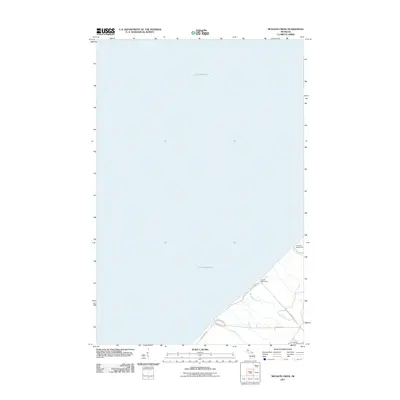 2011 Muggun Creek2011 Print · USGSCoastal Allouez Township is depicted here during the early twenty-first century, showing the intersection of lakefront infrastructure and wilderness. Researchers can trace historical utility sites like Tamarack Waterworks and the mouth of Muggun Creek.
 - 2011 Map of Ahmeek, 2011 Print
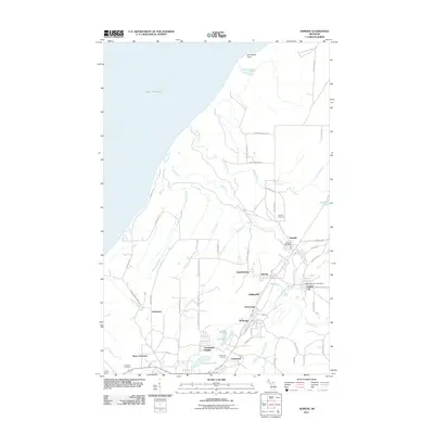 2011 Ahmeek2011 Print · USGSThe Keweenaw Peninsula's mining heritage is on full display here in the early twenty-first century, showing the enduring footprint of historic copper towns. Genealogists can locate family sites near Ahmeek Cemetery or trace the old residential streets of Wolverine and Copper City.
 - 2011 Map of Mohawk, 2011 Print
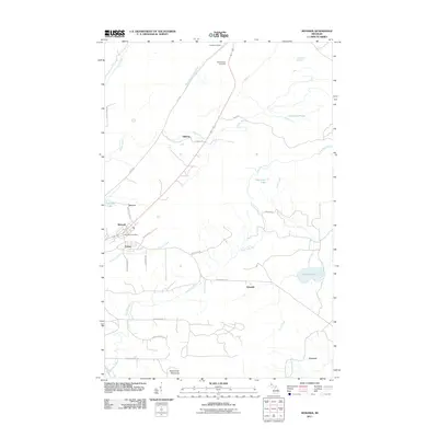 2011 Mohawk2011 Print · USGSThe Keweenaw Peninsula during the early twenty-first century reveals a landscape shaped by its industrial past. Genealogists and historians can trace local settlements and family sites near Mohawk, Fulton, and the Hillside Cemetery.
 - 2011 Map of Laurium, 2011 Print
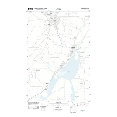 2011 Laurium2011 Print · USGSThe copper country of the Keweenaw Peninsula is shown here during its modern era, spanning from the industrial shores of Torch Lake to the historic streets of Laurium. Researchers can trace old mining-related settlements like Mason and Swedetown or locate family plots at Hecla Cemetery.
 - 2011 Map of Hancock, 2011 Print
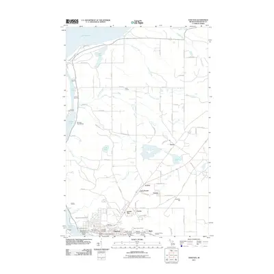 2011 Hancock2011 Print · USGSHancock and the Keweenaw Peninsula’s copper mining district are captured here during the early twenty-first century. Genealogists and industrial historians can trace legacy sites like the Franklin Mine, Finlandia University, and the Saint Joseph Cemetery.
 - 2014 Map of Muggun Creek, 2014 Print
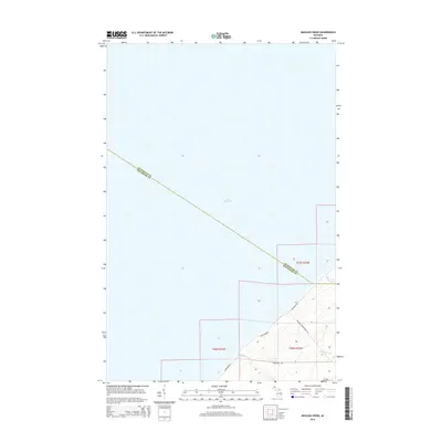 2014 Muggun Creek2014 Print · USGSThe northern tip of the Keweenaw Peninsula meets the expanse of Lake Superior in this contemporary coastal survey. Researchers can trace the rugged shoreline and local drainages like Muggun Creek and Brewery Creek along Lakeshore Drive.
 - 2014 Map of Hancock, 2014 Print
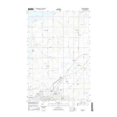 2014 Hancock2014 Print · USGSThe Copper Country legacy is on full display in this 2014 record of the Keweenaw Peninsula, where industrial heritage meets the Lake Superior shore. Genealogists and local historians can trace family roots through Finlandia Univ, Franklin Mine, and Waasa Cem.
 - 2014 Map of Mohawk, 2014 Print
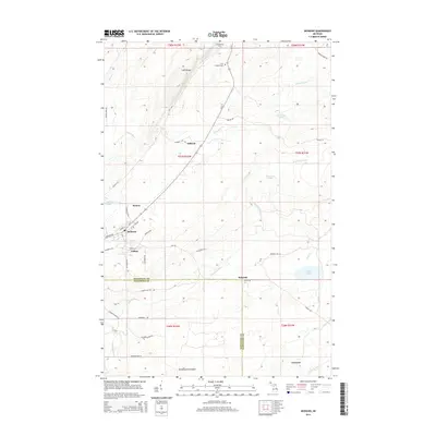 2014 Mohawk2014 Print · USGSUpper Peninsula copper country comes into focus in this detailed survey of the northern Keweenaw Peninsula. Genealogists and historians can trace the residential layouts of Mohawk, Fulton, and Seneca, or locate Hillside Cem near the rugged Cliff Range.
 - 2014 Map of Ahmeek, 2014 Print
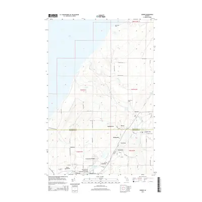 2014 Ahmeek2014 Print · USGSThe copper mining heart of the Keweenaw Peninsula is captured here in the early twenty-first century. Researchers can trace historic company town layouts and family sites near Ahmeek, Centennial Heights, and the grounds of Schoolcraft Cem.
 - 2014 Map of Laurium, 2014 Print
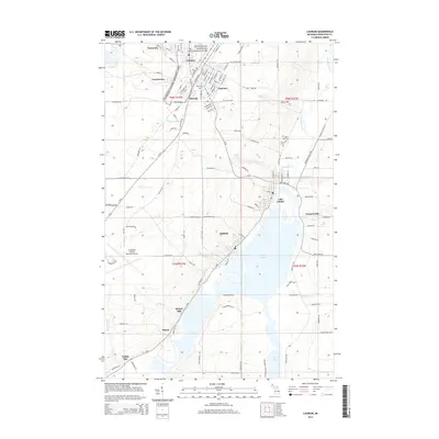 2014 Laurium2014 Print · USGSThe Keweenaw Peninsula's mining legacy remains etched into the landscape of the early twenty-first century, from the dense streets of Calumet to the shores of Torch Lake. Genealogists and historians can trace local family roots at Hecla Cem or locate the industrial sites at Quincy Mill and Hubbell.
 - 2017 Map of Laurium, 2017 Print
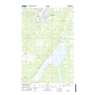 2017 Laurium2017 Print · USGSThe Michigan Copper Country remains a focal point for history in the late 2010s, centered on the Keweenaw National Historical Park. Researchers can trace old neighborhood grids in Laurium or locate family burial sites at Maple Hill Cem and Calvary Cem.
 - 2017 Map of Muggun Creek, 2017 Print
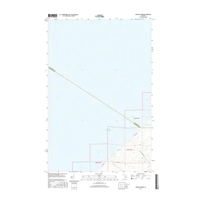 2017 Muggun Creek2017 Print · USGSThe western shoreline of Michigan's Keweenaw Peninsula is captured here in the twenty-tens, showing the point where the county line meets the coast. Researchers can trace land access via Fisherman Rd and the drainage of Muggun Cr and Brewery Cr.
 - 2017 Map of Hancock, 2017 Print
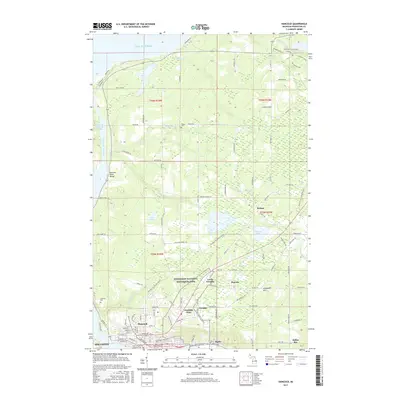 2017 Hancock2017 Print · USGSThe Keweenaw Peninsula's industrial and cultural heart is revealed in this modern survey of the copper-rich region around the Portage Lake area. Researchers can trace the heritage of Franklin Mine, locate Waasa Cem, and follow the Hancock to Calumet Route through the historical mining district.
 - 2017 Map of Ahmeek, 2017 Print
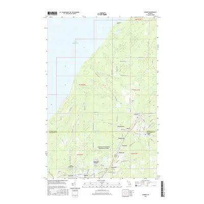 2017 Ahmeek2017 Print · USGSThe Keweenaw Peninsula’s copper mining heritage is showcased in this recent survey of the rugged highlands above Lake Superior. Researchers can trace historic family locations across Centennial Heights, Kearsarge, and Ahmeek, or locate ancestral sites at Schoolcraft Cem.
 - 2017 Map of Mohawk, 2017 Print
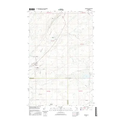 2017 Mohawk2017 Print · USGSThe northern reaches of the Keweenaw Peninsula are documented here in the early twenty-first century. Genealogists and local historians can trace the streets of Mohawk and Fulton or locate landmarks like Cliff Catholic Cem and Seneca Lake.
 - 2019 Map of Muggun Creek, 2019 Print
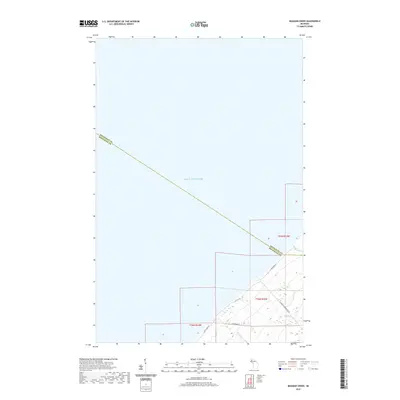 2019 Muggun Creek2019 Print · USGSThe Keweenaw Peninsula shoreline meets the open water of the Great Lakes in this 2019 survey of the Michigan coast. Researchers can trace the rugged drainage patterns of Muggun Cr and Gardeners Cr or locate specific lakeside access points along Fisherman Rd.
 - 2019 Map of Ahmeek, 2019 Print
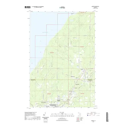 2019 Ahmeek2019 Print · USGSThe Keweenaw Peninsula's copper-mining legacy is preserved in this modern survey of Michigan's historic mineral range. Genealogists and researchers can trace family roots through the settlements of Centennial Heights and Phillipsville or locate ancestors at Schoolcraft Cem.
 - 2019 Map of Hancock, 2019 Print
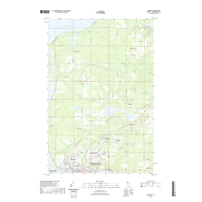 2019 Hancock2019 Print · USGSHoughton County's copper mining heartland comes into focus in this recent survey of the Keweenaw Peninsula. Researchers can trace the heritage of Franklin Mine and Hancock, or locate family sites at Lakeside Cem and Finlandia University.
 - 2019 Map of Mohawk, 2019 Print
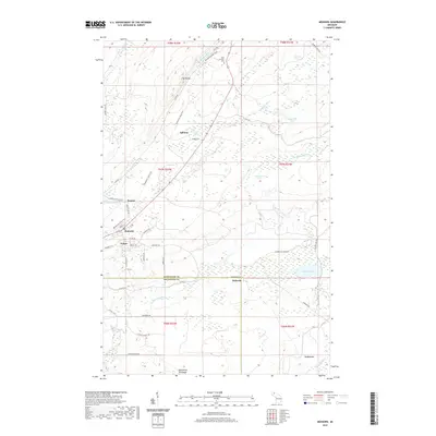 2019 Mohawk2019 Print · USGSThe Keweenaw Peninsula during its transition from industrial mining to modern conservation is captured in this recent survey. Researchers can trace historic settlements from Mohawk to Ojibway or locate the Cliff Catholic Cemetery and Keweenaw State Trail.
 - 2019 Map of Laurium, 2019 Print
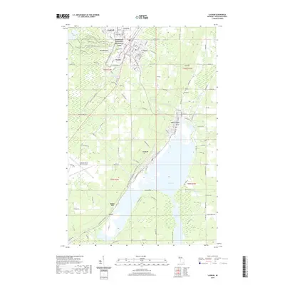 2019 Laurium2019 Print · USGSCalumet and Laurium sit at the heart of Michigan's Copper Country on this modern survey. Researchers can trace historic industrial sites like Quincy Mill, family heritage at Maple Hill Cem, and miles of local paths like the Bunker Trail.
 - 2023 Map of Mohawk, 2023 Print
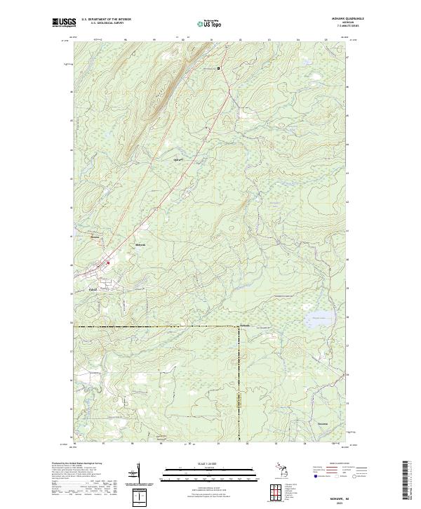 2023 Mohawk2023 Print · USGSThe northern Keweenaw Peninsula is captured here in the early twenty-first century, showing the enduring layout of historic mining communities. Researchers can trace local lineage through the Cliff Catholic Cem or explore the street grids of Mohawk and Fulton.
 - 2023 Map of Muggun Creek, 2023 Print
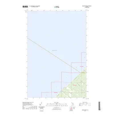 2023 Muggun Creek2023 Print · USGSThe Keweenaw Peninsula shoreline is captured here as it appeared in the early 2020s, marking the remote border of Keweenaw Co and Houghton Co. Trace the coastal drainage of Muggun Creek and Gardeners Creek along Lake Shore Dr.
 - 2023 Map of Hancock, 2023 Print
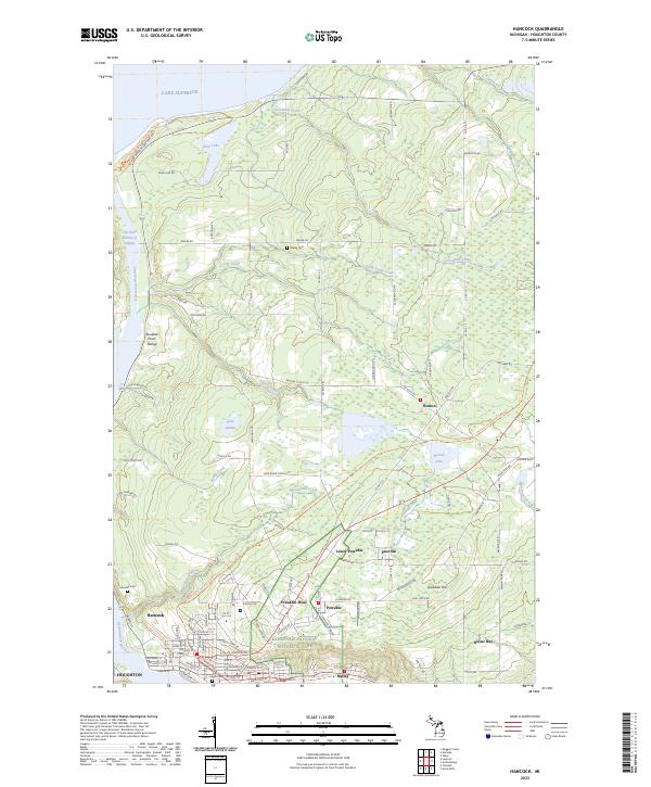 2023 Hancock2023 Print · USGSHoughton County's mining heritage is on full display in the early twenty-first century, spanning the industrial corridor between Hancock and Dollar Bay. Researchers can trace the layout of historic settlements like Franklin Mine, Paavola, and Boston.
 - 2023 Map of Laurium, 2023 Print
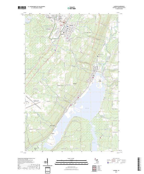 2023 Laurium2023 Print · USGSUpper Peninsula copper mining country is mapped in detail during the early 2020s, showing the enduring footprints of industrial centers. Researchers can trace historic neighborhoods from Calumet and Laurium down to the milling sites at Quincy Mill and Torch Lake.
 - 2023 Map of Ahmeek, 2023 Print
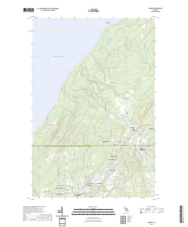 2023 Ahmeek2023 Print · USGSThe Keweenaw Peninsula’s storied mining district is mapped here during its modern era of preservation and recreation. Researchers can trace the layout of historic settlements like Ahmeek, Mohawk, and Bumbletown alongside the Keweenaw National Historical Park.
End of results
Showing maps 1-25 of 25
Top cities near Calumet Township
- Houghton historical maps
- Hancock historical maps
- Laurium historical maps
- Osceola historical maps
- Chassell historical maps
- Allouez historical maps
See more
Top neighborhoods of Calumet Township
- Centennial Heights historical maps
- Kearsarge historical maps
- Lakeview historical maps
- Phillipsville historical maps
- Wolverine historical maps
- Swedetown historical maps
See more
Frequently asked questions
- What are the different types of historical maps available for Calumet Township?
- What is the oldest map of Calumet Township?
- Where can I purchase historical maps of Calumet Township for my home or office?
- Where can I download high-res historical maps of Calumet Township?
- Are there historical topographic maps available for Calumet Township?
- Is there historical aerial imagery available for Calumet Township?
- Where are historical maps of Calumet Township sourced from?