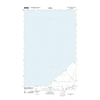
2011 Map of Muggun Creek
USGS Topo · Published 2011About this map
Lake Superior dominates this coastal landscape along the Keweenaw Peninsula, where the cold waters of the Great Lakes meet the shoreline of Allouez Township. The map illustrates the specialized infrastructure required for local industry and municipal supply during the early 21st century, most notably the Tamarack Waterworks and Calumet Waterworks. These facilities, situated near the mouths of local drainages like Brewery Creek and Gardeners Creek, speak to the region's historical reliance on the lake for resource extraction and community utility.
Find a feature on this map
11 named features on this map. Tap any name to fly to it.
Don’t see what you’re looking for? This feature index may not catch every label — zoom into the map to look around manually.
Map Details
Editions of this 2011 Muggun Creek Map
This is the sole edition of this map. No revisions or reprints were ever made.
Other maps of this area

1915 · Houghton
USGS Topo · 1:62,500

1941 · Ahmeek
USGS Topo · 1:31,680

1946 · Hancock
USGS Topo · 1:24,000

1946 · Muggun Creek
USGS Topo · 1:24,000

1946 · Ahmeek
USGS Topo · 1:24,000

1946 · Laurium
USGS Topo · 1:24,000

1947 · Ahmeek
USGS Topo · 1:24,000
1948 · Muggun Creek
USGS Topo · 1:24,000

1948 · Laurium
USGS Topo · 1:24,000

1948 · Hancock
USGS Topo · 1:24,000