
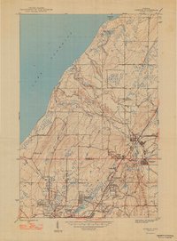
1947 Map of Ahmeek
USGS Topo · Published 1947About this map
Copper mining operations define the industrial landscape of the Keweenaw Peninsula in the mid-1940s. The dominance of the Calumet and Hecla rail lines and the prominent Ahmeek Mine reveal the scale of deep-shaft extraction that shaped these communities. High-density worker housing and commercial districts are concentrated in Ahmeek, Allouez, and Copper City, while the outlying areas show the legacy of the region's mineral wealth through the Red Jacket Mine and the sprawl of Centennial Heights.
Find a feature on this map
42 named features on this map. Tap any name to fly to it.
Don’t see what you’re looking for? This feature index may not catch every label — zoom into the map to look around manually.
Map Details
Editions of this 1947 Ahmeek Map
2 editions found
Other maps of this area

1915 · Houghton
USGS Topo · 1:62,500

1941 · Ahmeek
USGS Topo · 1:31,680

1941 · Mohawk
USGS Topo · 1:31,680

1946 · Phoenix
USGS Topo · 1:24,000

1946 · Hancock
USGS Topo · 1:24,000

1946 · Mohawk
USGS Topo · 1:24,000

1946 · Muggun Creek
USGS Topo · 1:24,000

1946 · Ahmeek
USGS Topo · 1:24,000

1946 · Laurium
USGS Topo · 1:24,000

1947 · Phoenix
USGS Topo · 1:24,000