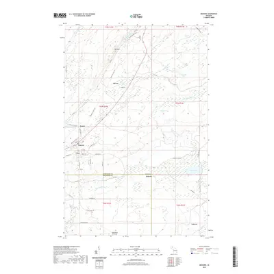
2019 Map of Mohawk
USGS Topo · Published 2019About this map
Mohawk and Fulton sit at the center of this 2019 survey, representing the enduring legacy of mining and timber on Michigan's Keweenaw Peninsula. The landscape is dominated by the Cliff Range to the north and a network of water bodies, including Deerwater Lake and Thayer Lake, which drain into the Trap Rock River and Gratiot River. This modern digital survey reflects the area's transition into a recreational hub, where the Keweenaw State Trail now follows former industrial corridors.
Find a feature on this map
54 named features on this map. Tap any name to fly to it.
Don’t see what you’re looking for? This feature index may not catch every label — zoom into the map to look around manually.
Map Details
Editions of this 2019 Mohawk Map
This is the sole edition of this map. No revisions or reprints were ever made.
Other maps of this area

1938 · Bruneau Creek
USGS Topo · 1:31,680

1938 · Gay
USGS Topo · 1:31,680

1940 · Central
USGS Topo · 1:31,680

1941 · Ahmeek
USGS Topo · 1:31,680

1941 · Mohawk
USGS Topo · 1:31,680

1946 · Phoenix
USGS Topo · 1:24,000

1946 · Bruneau Creek
USGS Topo · 1:24,000

1946 · Mohawk
USGS Topo · 1:24,000

1946 · Eagle Harbor
USGS Topo · 1:24,000

1946 · Ahmeek
USGS Topo · 1:24,000