2010s Maps of Ingham County, Michigan
Explore 64 historic maps of Ingham County from the 2010s. These maps offer a rare glimpse into what life looked like during the 2010s — showing old roads, neighborhoods, homes, and landmarks that have changed or disappeared over time.
Whether you're researching your family's past, planning a metal detecting trip, or studying how Ingham County's landscape evolved across the 2010s, these high-resolution maps are a powerful tool for exploring the history of this region.
- Focus on a specific era: All maps on this page are from the 2010s, giving you a focused view of this time period.
- See what’s changed: Compare century-old streets, trails, and buildings to today's modern landscape using overlays and satellite layers.
- Research with precision: Use these maps for genealogy, historical research, land use analysis, or educational projects.
- View, download, or print: Maps are fully viewable online in high resolution, and can be downloaded or printed for your own records.
Start exploring Ingham County's history through authentic maps from the 2010s. This is your window into the past.
Ingham County, MI maps
(64)- 2011 Map of Williamston, 2011 Print
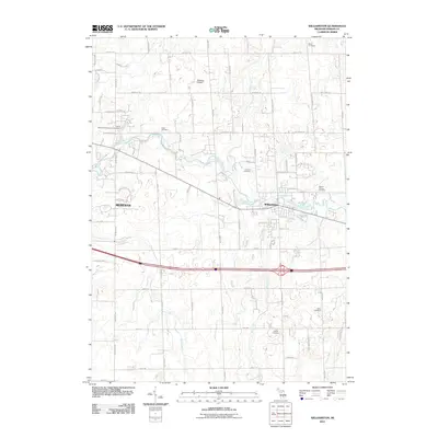 2011 Williamston2011 Print · USGSMid-Michigan's river-valley communities and rural cemeteries are detailed here in the early twenty-first century. Researchers can trace land use around Williamston or locate family burial sites at Saint Katherine's Episcopal Cemetery and Cabot Cemetery.
 - 2011 Map of Pleasant Lake, 2011 Print
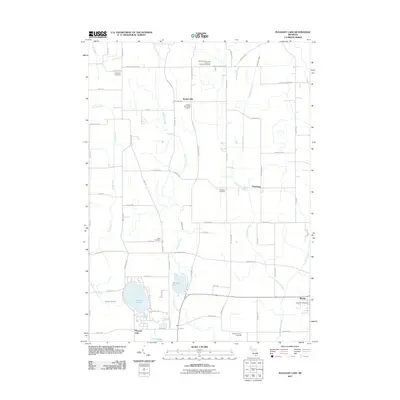 2011 Pleasant Lake2011 Print · USGSThe rural landscape of Ingham County is captured here just after the first decade of the millennium, showing a terrain shaped by farming and glacial lakes. Genealogists can locate several historic burial grounds like Bunker Hill Center Cemetery and Nims Cemetery, or trace the small-town layout of Munith and Fitchburg.
 - 2011 Map of Perry, 2011 Print
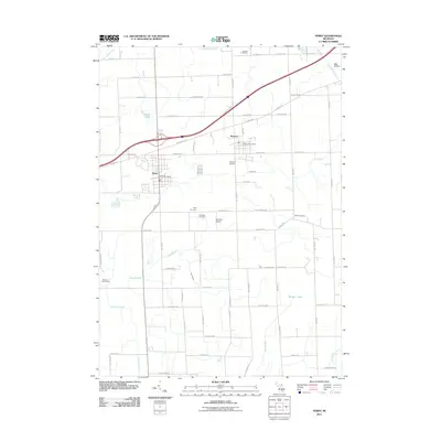 2011 Perry2011 Print · USGSPerry and Morrice anchor this rural Michigan landscape in the early twenty-first century, showing a well-developed grid of local roads and community centers. Genealogists can trace family locations through several burial sites like Roselawn and Howard Cemetery, or find the Dysinger Airport and Glenbrier Golf Course among the fields.
 - 2011 Map of Leslie, 2011 Print
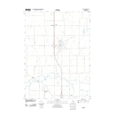 2011 Leslie2011 Print · USGSLeslie and the surrounding Ingham County countryside appear here just as the modern digital mapping era was maturing. Genealogists can trace family footprints through several burial grounds, including Woodlawn Cemetery, Walker Cemetery, and the Rives Junction Memorial Cemetery.
 - 2011 Map of Webberville, 2011 Print
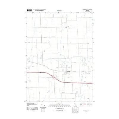 2011 Webberville2011 Print · USGSHandy Township and the village of Webberville are shown here during the early twenty-first century as a landscape of established farms and rural cemeteries. Researchers can locate several historical burial grounds, such as Miller Cemetery and Briggs Cemetery, or trace the winding course of the Red Cedar River.
 - 2011 Map of East Lansing, 2011 Print
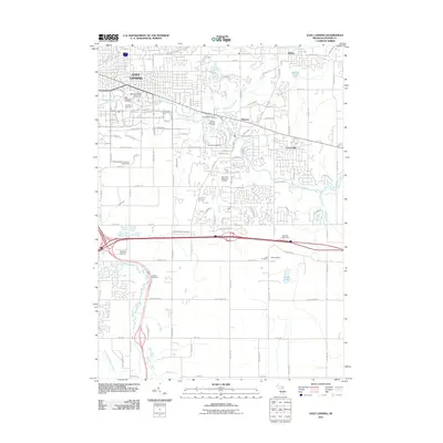 2011 East Lansing2011 Print · USGSThe sprawling campus of Michigan State University and the surrounding suburbs of Haslett and Okemos are captured here during the early twenty-first century. Researchers can trace local heritage through landmarks like Spartan Stadium and several family burial sites, including Leek Cemetery.
 - 2011 Map of Onondaga, 2011 Print
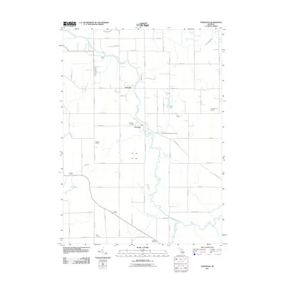 2011 Onondaga2011 Print · USGSMid-Michigan river life and rural heritage are captured here in the early twenty-first century as the Grand River flows through Ingham County. Genealogists can trace several local burial sites like Onondaga Cemetery and Lane Cemetery, alongside landmarks like Onondaga Dragway.
 - 2011 Map of Dansville, 2011 Print
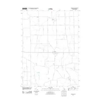 2011 Dansville2011 Print · USGSDansville and the surrounding Ingham County farmlands are captured here in the early twenty-first century, showing a landscape shaped by rural roads and family heritage. Researchers can locate several burial grounds like Fairview and Howard Cemetery, alongside the waters of Hewes Lake and Deer Creek.
 - 2011 Map of Mason, 2011 Print
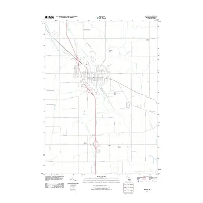 2011 Mason2011 Print · USGSThe Ingham County seat and its rural southern reaches are documented here during the early twenty-first century. Genealogists and local historians can trace family ties at Dubois Cemetery or Rolfe Cemetery, and locate regional airfields like Mason Jewett Field.
 - 2011 Map of Shaftsburg, 2011 Print
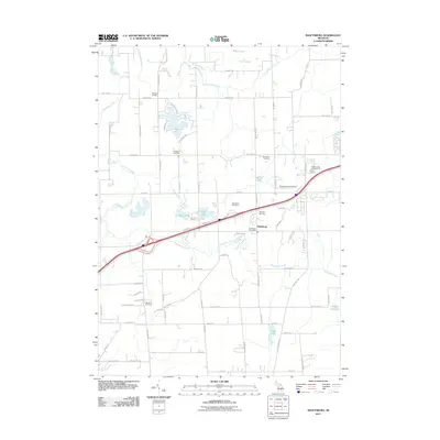 2011 Shaftsburg2011 Print · USGSThe community of Shaftsburg and its surrounding wetlands are shown in detail as they appeared in the early 21st century. Genealogists can locate several local burial sites like Oak Plain Cemetery and Woodhull Cemetery.
 - 2011 Map of Stockbridge, 2011 Print
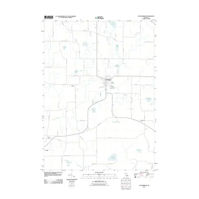 2011 Stockbridge2011 Print · USGSSouthern Michigan’s wetlands and rural townships are captured here in the early 2000s, centered on the village of Stockbridge. Researchers can trace local heritage through Oaklawn Cemetery, the settlement at Munith, and numerous family-named landmarks like Fink Lake.
 - 2011 Map of Bath, 2011 Print
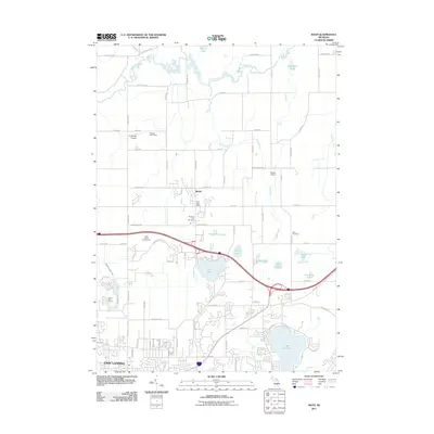 2011 Bath2011 Print · USGSThe northern edge of the Lansing metropolitan area meets the rural countryside in the early 2010s. Genealogists and local historians can locate Pleasant Hill Cemetery, the Bath Post Office, and the many wetlands surrounding Lake Lansing.
 - 2011 Map of Aurelius, 2011 Print
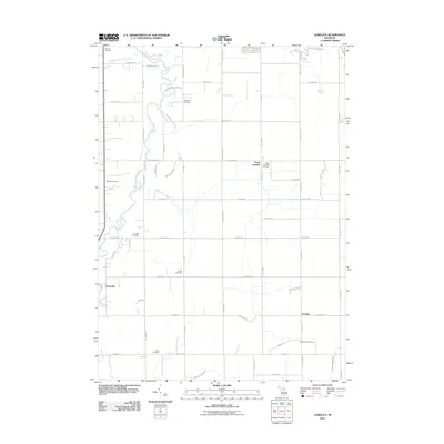 2011 Aurelius2011 Print · USGSAurelius Township remains a landscape of conservation and legacy in the early twenty-first century, anchored by the winding Grand River. Researchers can trace old family footprints across several burial sites, including Markham Cemetery, Munger Cemetery, and Bunker Cemetery.
 - 2011 Map of Millville, 2011 Print
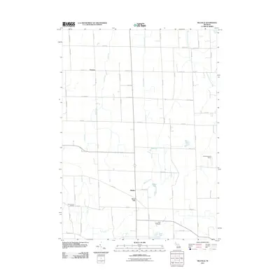 2011 Millville2011 Print · USGSAgricultural lands and wetlands south of Williamston come into focus during the early 2010s. Genealogists and local historians can trace the rural layouts of Millville, White Oak, and Vantown alongside natural features like Kalamink Creek and Lowe Lake.
 - 2011 Map of Lansing North, 2011 Print
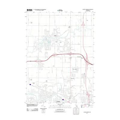 2011 Lansing North2011 Print · USGSNorth of the state capital during the early 21st century, this area shows the suburban growth of DeWitt and Valley Farms. Researchers can trace local heritage through several burial grounds, including Wilsey Cemetery and Gunnisonville Cemetery, or locate the Capital City Airport.
 - 2011 Map of Lansing South, 2011 Print
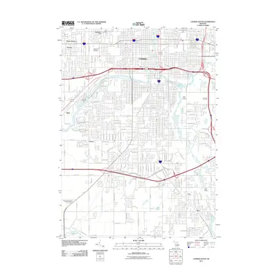 2011 Lansing South2011 Print · USGSLansing and its southern suburbs are captured here at the start of the 2010s, showing a landscape defined by river confluences and civic expansion. Genealogists can trace numerous local burial sites including Mount Hope Cemetery, Pioneer Cemetery, and North Cemetery.
 - 2014 Map of Stockbridge, 2014 Print
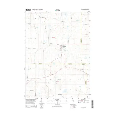 2014 Stockbridge2014 Print · USGSThe village of Stockbridge and its surrounding townships are shown in detail during the early twenty-first century. Researchers can trace ancestral connections at Oaklawn Cem or Munith Cem and explore the complex drainage of Lowe Lake and the Portage River.
 - 2014 Map of Pleasant Lake, 2014 Print
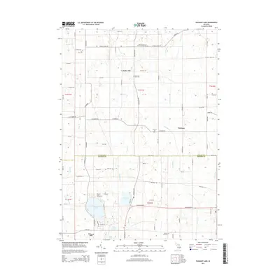 2014 Pleasant Lake2014 Print · USGSBunker Hill and Fitchburg sit at the Ingham and Jackson County border in this 2014 survey. Genealogists and historians can trace numerous family burial sites like Felt Plains Cem and Nims Cem, alongside the shores of Pleasant Lake.
 - 2014 Map of Shaftsburg, 2014 Print
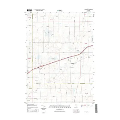 2014 Shaftsburg2014 Print · USGSMid-Michigan's tri-county borderlands come into focus in the mid-2010s, centered on the historic rail stop at Shaftsburg. Researchers can trace local heritage through several burial grounds, including Oak Plain Cem and Graham Cem, or locate the Perry Aero Park Airport near the Looking Glass River.
 - 2014 Map of Onondaga, 2014 Print
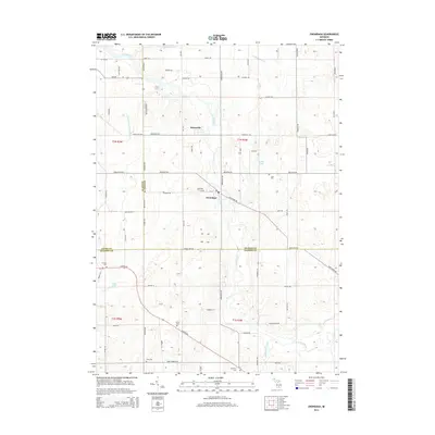 2014 Onondaga2014 Print · USGSThe mid-Michigan countryside at the borders of Ingham, Eaton, and Jackson Counties is captured here in the early 21st century. Genealogists and local historians can trace family plots across several sites, including Onondaga Cem, Brown Cem, and the riverside Kinneville settlement.
 - 2014 Map of Perry, 2014 Print
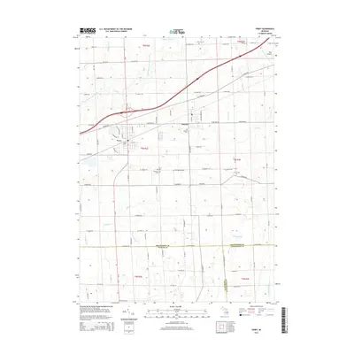 2014 Perry2014 Print · USGSShiawassee County and the surrounding tri-county border area are captured here in the early twenty-first century as the landscape balances its rural roots with modern transit. Researchers can trace local lineage through numerous sites like Roselawn Cem, find the rail-era footprint of Perry Station, and locate the small-scale Dysinger Airport.
 - 2014 Map of Millville, 2014 Print
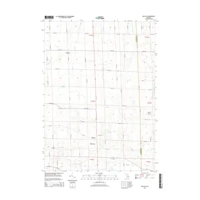 2014 Millville2014 Print · USGSThe Ingham and Livingston county border comes alive in the early twenty-first century, showing a landscape defined by small Michigan settlements and rural crossroads. Genealogists and researchers can trace local landmarks like Millville, White Oak, and the Mt Pleasant Cem.
 - 2014 Map of East Lansing, 2014 Print
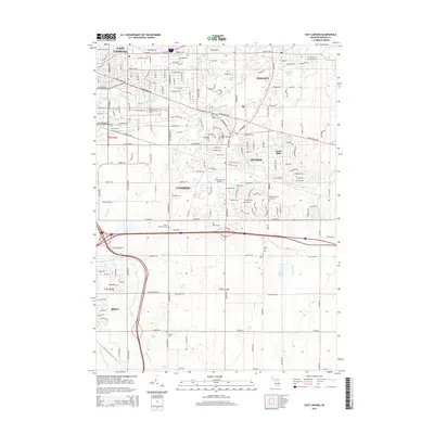 2014 East Lansing2014 Print · USGSGreater Lansing was a bustling academic and residential hub in the mid-2010s, centered around the Red Cedar River. Researchers can trace local heritage at Phillips Cemetery or explore the institutional grounds of Michigan State Univ and Lakeside Airport.
 - 2014 Map of Dansville, 2014 Print
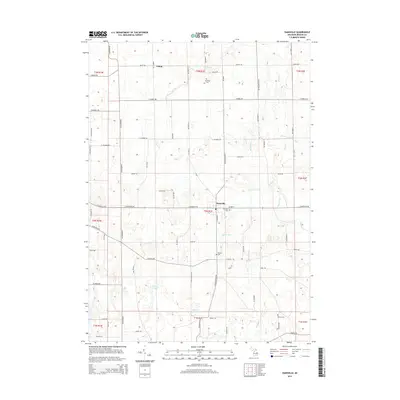 2014 Dansville2014 Print · USGSDansville and the surrounding Ingham County farmlands are documented here during the early twenty-first century. Researchers can locate family burial sites at Fairview Cem and Howard Cem or trace the early settlement at Pollok.
 - 2014 Map of Webberville, 2014 Print
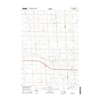 2014 Webberville2014 Print · USGSMid-Michigan agricultural lands and small-town centers are captured here during the early twenty-first century. Researchers can trace family sites and local history at Webberville or rural burial grounds like Alchin Farm Cem and Rowley Cem.
Showing maps 1-25 of 64
Top cities of Ingham County
Frequently asked questions
- What are the different types of historical maps available for Ingham County?
- What is the oldest map of Ingham County?
- Where can I purchase historical maps of Ingham County for my home or office?
- Where can I download high-res historical maps of Ingham County?
- Are there historical topographic maps available for Ingham County?
- Is there historical aerial imagery available for Ingham County?
- Where are historical maps of Ingham County sourced from?