Old Maps of Portland, Michigan for Hiking & Exploration
Hike through history with 23 historic maps of Portland. Explore old trails, ghost towns, and forgotten backroads — perfect for outdoor adventurers and local explorers.
- Rediscover forgotten places: Map out old mining camps, roads, and footpaths that no longer exist on modern maps.
- Layer with modern tools: Combine with LiDAR or satellite views to plan hikes through historical terrain.
- Made for exploration: Popular among hikers, overlanders, and local history lovers.
Use these maps to find adventure and explore the hidden past of Portland.
Portland, MI maps
(23)- 1945 Map of Portland, 1946 Print
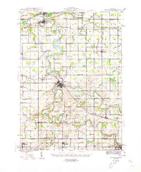 1945 Portland1946 Print · USGSCentral Michigan river valleys thrive in the 1940s as agricultural and transit hubs. Genealogists can locate dozens of family-named schoolhouses and cemeteries like Eagle Cem, while tracing the Pere Marquette rail line and Wagar Dam.3 unique versions available
 - 1958 Map of Grand Rapids, 1973 Print
 1958 Grand Rapids1973 Print · USGSSouthern Michigan at the peak of the postwar era shows a landscape of burgeoning cities and new interstate highways. Trace family roots and regional growth in Grand Rapids, Battle Creek, and the glacial lake country around Gun Lake or Gull Lake.2 unique versions available
 - 1961 Map of Grand Rapids
 1961 Grand Rapids1961 Print · USGSSouthern Michigan at the dawn of the 1960s reveals a region shaped by major river systems and a robust rail network. Trace mid-century industrial growth and land use from Grand Rapids to the Fort Custer Military Reservation and Gun Lake.
 - 1962 Map of Grand Rapids
 1962 Grand Rapids1962 Print · USGSMid-century Southern Michigan is mapped here at a time of massive growth, showing the expanding urban footprints of Grand Rapids and Lansing. Researchers can trace the legacy of the Grand Trunk Western RR, find historic boundaries of the Fort Custer Military Reservation, or locate sporting camps around Gun Lake.2 unique versions available
 - 1978 Map of Eagle, 1979 Print
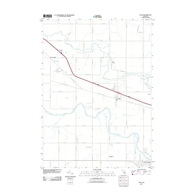
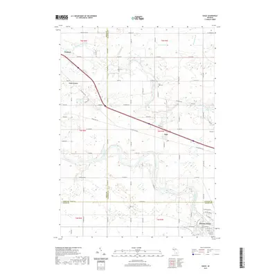
 1978 Eagle1979 Print · USGSClinton County and the outskirts of Grand Ledge are captured in the late seventies, showing a landscape shaped by two major river systems. Genealogists can locate North Eagle Cem and Niles Cem, or trace the rail-side settlement at Eagle.
 - 1978 Map of Portland North, 1979 Print
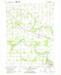
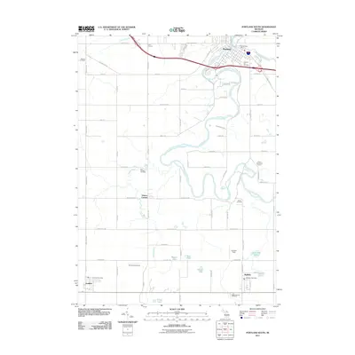
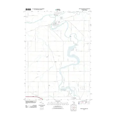
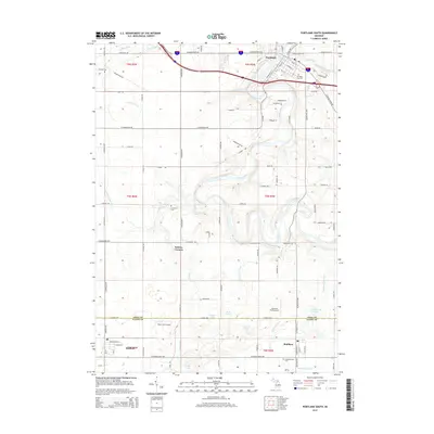
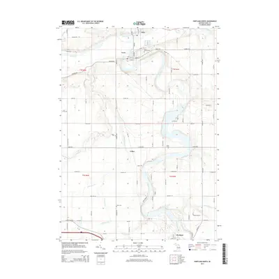
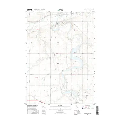
 1978 Portland North1979 Print · USGSIonia County at the height of the 1970s shows a landscape defined by the convergence of the Grand River and Maple River. You can trace the industrial footprint of Muir, Lyons, and Portland through old rail grades, the Webber Dam, and the Keefer Cem.
 - 1978 Map of Portland South, 1979 Print
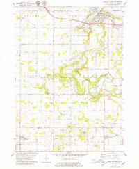 1978 Portland South1979 Print · USGSThe Grand River valley in the late seventies reveals a landscape of river-town growth and rural persistence near the Ionia and Eaton county line. Researchers can locate family landmarks like Knox Sch, East Sebewa Cem, and the old Grange Hall.
 - 1983 Map of Lansing, 1984 Print
 1983 Lansing1984 Print · USGSThe Lansing area and its surrounding river valleys are captured here in the early eighties. Genealogists and historians can trace the rail corridors of the Conrail or locate local landmarks like St Johns Ch and Greenwood Cem.
 - 2011 Map of Portland South, 2011 Print
 2011 Portland South2011 Print · USGSCovers Portland, including Sunfield, Mulliken, and other nearby areas
 - 2011 Map of Eagle, 2011 Print
 2011 Eagle2011 Print · USGSCovers Portland, including Grand Ledge, Eagle, and other nearby areas
 - 2011 Map of Portland North, 2011 Print
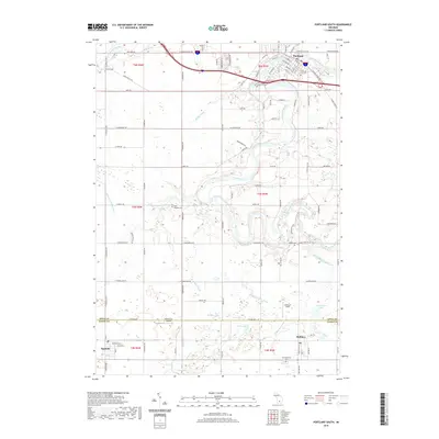
 2011 Portland North2011 Print · USGSCovers Portland, including Lyons, Muir, and other nearby areas
 - 2014 Map of Portland South, 2014 Print
 2014 Portland South2014 Print · USGSCovers Portland, including Sunfield, Mulliken, and other nearby areas
 - 2014 Map of Portland North, 2014 Print
 2014 Portland North2014 Print · USGSCovers Portland, including Lyons, Muir, and other nearby areas
 - 2014 Map of Eagle, 2014 Print
 2014 Eagle2014 Print · USGSCovers Portland, including Grand Ledge, Eagle, and other nearby areas
 - 2017 Map of Eagle, 2017 Print
 2017 Eagle2017 Print · USGSCovers Portland, including Grand Ledge, Eagle, and other nearby areas
 - 2017 Map of Portland South, 2017 Print
 2017 Portland South2017 Print · USGSCovers Portland, including Sunfield, Mulliken, and other nearby areas
 - 2017 Map of Portland North, 2017 Print
 2017 Portland North2017 Print · USGSCovers Portland, including Lyons, Muir, and other nearby areas
 - 2019 Map of Portland South, 2019 Print
 2019 Portland South2019 Print · USGSCovers Portland, including Sunfield, Mulliken, and other nearby areas
 - 2019 Map of Portland North, 2019 Print
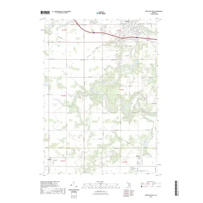
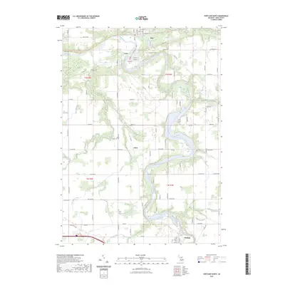
 2019 Portland North2019 Print · USGSCovers Portland, including Lyons, Muir, and other nearby areas
 - 2019 Map of Eagle, 2019 Print
 2019 Eagle2019 Print · USGSCovers Portland, including Grand Ledge, Eagle, and other nearby areas
 - 2023 Map of Eagle, 2023 Print
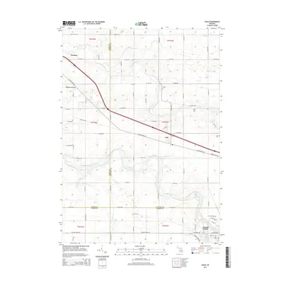
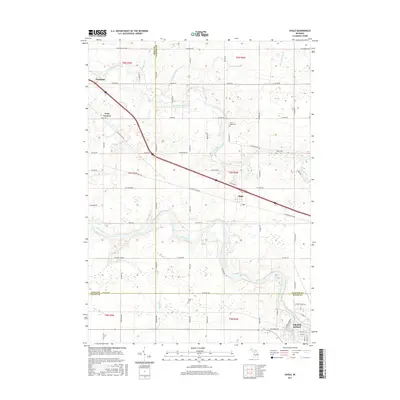
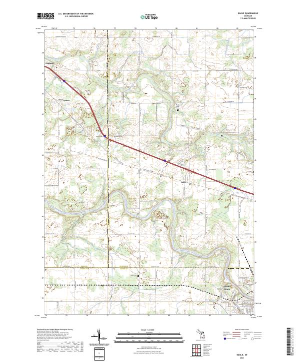 2023 Eagle2023 Print · USGSThe river valleys of Clinton and Ionia counties come into focus in this contemporary survey of the region surrounding Eagle. Genealogists and local historians can trace family locations along W Eaton Hwy and locate several burial grounds like Union Cem and Niles Cem.
 - 2023 Map of Portland South, 2023 Print
 2023 Portland South2023 Print · USGSThe Grand River valley and the agricultural border between Ionia and Eaton Counties are documented here in recent years. Researchers can trace family sites at Portland City Cem or East Sebewa Cem and locate local landmarks like Hiram Cure Airport.
 - 2023 Map of Portland North, 2023 Print
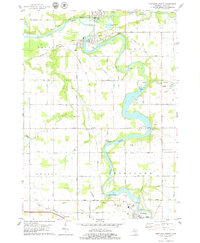
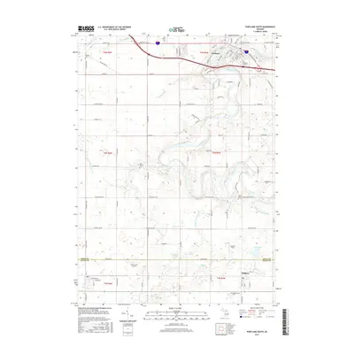
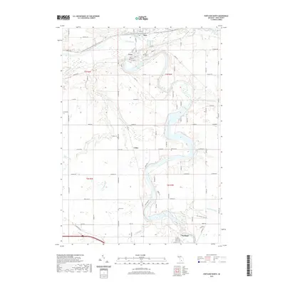
 2023 Portland North2023 Print · USGSIonia County's river valleys come alive in the 2020s, showing the enduring layouts of Muir, Lyons, and Portland along the water. Researchers can locate family heritage sites at Lyons Township Cemetery or trace the historic Union Burial Ground and Keefer Cemetery.
End of results
Showing maps 1-23 of 23
Top cities near Portland
- Lansing historical maps
- Ionia historical maps
- Grand Ledge historical maps
- Riley historical maps
- Fowler historical maps
- Westphalia historical maps
See more
Frequently asked questions
- What are the different types of historical maps available for Portland?
- What is the oldest map of Portland?
- Where can I purchase historical maps of Portland for my home or office?
- Where can I download high-res historical maps of Portland?
- Are there historical topographic maps available for Portland?
- Is there historical aerial imagery available for Portland?
- Where are historical maps of Portland sourced from?