Old Maps of Springport Township, Michigan for Hiking & Exploration
Hike through history with 30 historic maps of Springport Township. Explore old trails, ghost towns, and forgotten backroads — perfect for outdoor adventurers and local explorers.
- Rediscover forgotten places: Map out old mining camps, roads, and footpaths that no longer exist on modern maps.
- Layer with modern tools: Combine with LiDAR or satellite views to plan hikes through historical terrain.
- Made for exploration: Popular among hikers, overlanders, and local history lovers.
Use these maps to find adventure and explore the hidden past of Springport Township.
Springport Township, MI maps
(30)- 1919 Map of Springport, 1958 Print
 1919 Springport1958 Print · USGSSouthern Michigan at the close of the Great War is a landscape of rural schoolhouses and historic turnpikes. Genealogists can locate family landmarks like Chapel Cemetery or trace the early paths of the Old Plank Road and Michigan Central Railroad.3 unique versions available
 - 1921 Map of Springport
 1921 Springport1921 Print · USGSCentral Michigan's agricultural heartland at the end of the Great War reveals a landscape of dispersed farmsteads and numerous small school districts. Genealogists can trace family lands near Onondaga, Kinneville, and Chapel Cemetery, or locate vanished schoolhouses like Knight School and Fisk School.2 unique versions available
 - 1958 Map of Grand Rapids, 1973 Print
 1958 Grand Rapids1973 Print · USGSSouthern Michigan at the peak of the postwar era shows a landscape of burgeoning cities and new interstate highways. Trace family roots and regional growth in Grand Rapids, Battle Creek, and the glacial lake country around Gun Lake or Gull Lake.2 unique versions available
 - 1961 Map of Grand Rapids
 1961 Grand Rapids1961 Print · USGSSouthern Michigan at the dawn of the 1960s reveals a region shaped by major river systems and a robust rail network. Trace mid-century industrial growth and land use from Grand Rapids to the Fort Custer Military Reservation and Gun Lake.
 - 1962 Map of Grand Rapids
 1962 Grand Rapids1962 Print · USGSMid-century Southern Michigan is mapped here at a time of massive growth, showing the expanding urban footprints of Grand Rapids and Lansing. Researchers can trace the legacy of the Grand Trunk Western RR, find historic boundaries of the Fort Custer Military Reservation, or locate sporting camps around Gun Lake.2 unique versions available
 - 1981 Map of Onondaga
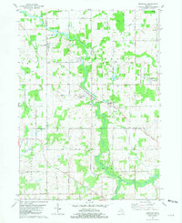 1981 Onondaga1981 Print · USGSMid-Michigan rural life in the early eighties centers on the river and rail lines connecting Ingham and Jackson counties. Local historians can trace family markers at Brown Cem and Lane Cem or explore the grounds of the VFW National Home.
 - 1981 Map of Parma
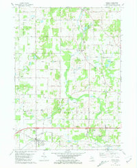 1981 Parma1981 Print · USGSParma and its surrounding townships in the early 1980s show a settled landscape of rail lines and small family cemeteries. Genealogists can locate several burial sites like Pherdun Cem and Deering Cem, or trace the path of the Conrail through town.
 - 1981 Map of Springport
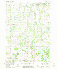 1981 Springport1981 Print · USGSMid-Michigan's landscape in the early eighties shows a transition from the industrial activity of Eaton Rapids to the quiet rural corners of Springport. Genealogists and historians can trace family sites at Rose Hill Cem or follow the Conrail tracks through Charlesworth.
 - 1981 Map of Northeast Albion
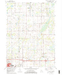 1981 Northeast Albion1981 Print · USGSThe rural borderlands of Jackson and Calhoun counties come alive in this early 1980s record of Michigan's farming and small-town heartland. Genealogists and local historians can trace the foundations of Springport and Devereaux while locating family plots at Quakertown Cem or Wright Cem.2 unique versions available
 - 1983 Map of Jackson, 1984 Print
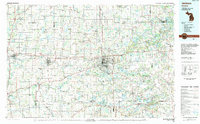 1983 Jackson1984 Print · USGSJackson and the surrounding lake country are shown in the early eighties as a hub of rail transit and outdoor recreation. Local historians can trace institutional footprints like the State Prison Farm or explore the landscape of Minards Mill and Olivet College.
 - 2011 Map of Parma, 2011 Print
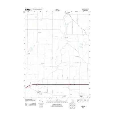 2011 Parma2011 Print · USGSJackson County rural life and community hubs are captured here at the start of the 2010s. Genealogists and local historians can trace family roots through numerous sites like Minards Mill, Pherdun Cemetery, and the village of Parma.
 - 2011 Map of Onondaga, 2011 Print
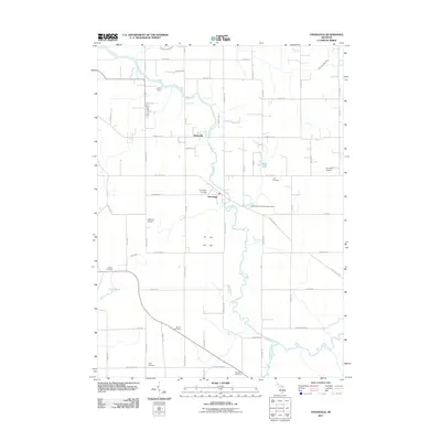 2011 Onondaga2011 Print · USGSMid-Michigan river life and rural heritage are captured here in the early twenty-first century as the Grand River flows through Ingham County. Genealogists can trace several local burial sites like Onondaga Cemetery and Lane Cemetery, alongside landmarks like Onondaga Dragway.
 - 2011 Map of Springport, 2011 Print
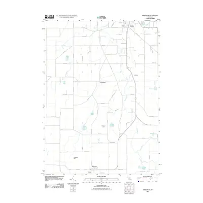 2011 Springport2011 Print · USGSEaton Rapids and the surrounding agricultural townships are documented here during the early twenty-first century. Genealogists and local historians can locate rural burial sites like Pierson Cemetery and trace the waterways of Spring Brook and the Grand River.
 - 2011 Map of Northeast Albion, 2011 Print
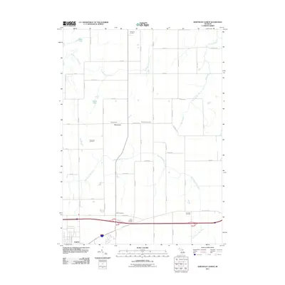 2011 Northeast Albion2011 Print · USGSNortheast of Albion in the early twenty-first century, this landscape preserves a dense network of family heritage and rural farmsteads. Genealogists can locate numerous burial sites across the township, including Reed Family Cemetery, Smithfield Cemetery, and the settlement of Devereaux.
 - 2014 Map of Onondaga, 2014 Print
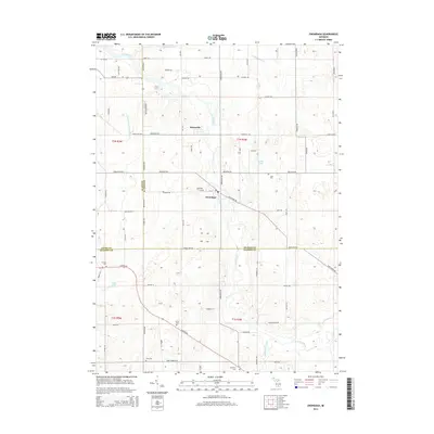 2014 Onondaga2014 Print · USGSThe mid-Michigan countryside at the borders of Ingham, Eaton, and Jackson Counties is captured here in the early 21st century. Genealogists and local historians can trace family plots across several sites, including Onondaga Cem, Brown Cem, and the riverside Kinneville settlement.
 - 2014 Map of Springport, 2014 Print
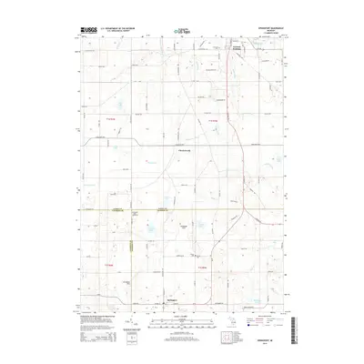 2014 Springport2014 Print · USGSMid-Michigan farm country and river-fed landscapes come into focus here during the early twenty-first century. Researchers can trace rural heritage through features like Oakwood Cem, the community of Charlesworth, and the Springport Motor Speedway.
 - 2014 Map of Northeast Albion, 2014 Print
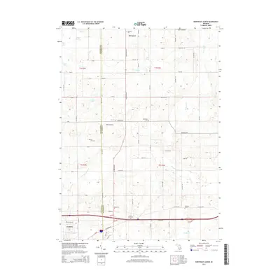 2014 Northeast Albion2014 Print · USGSThe borderlands of Calhoun and Jackson counties are captured in the early twenty-first century, showing the rural character of Springport and Devereaux. Genealogists can locate several historic burial sites, including Reed Family Cem and Smithfield Cem.
 - 2014 Map of Parma, 2014 Print
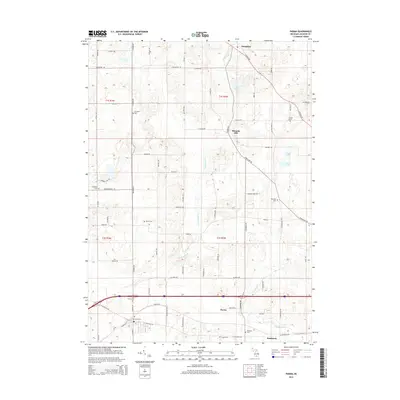 2014 Parma2014 Print · USGSJackson County's agricultural heartland and rail corridors are shown here during the early twenty-first century. Family historians can trace local roots through several burial grounds like Upton Cemetery and Fairview Cemetery or locate landmarks such as Minards Mill and Parma Station.
 - 2017 Map of Parma, 2017 Print
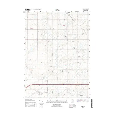 2017 Parma2017 Print · USGSJackson County rural life is captured here in the late twenty-teens, showing the agricultural corridor between Parma and Tompkins. Genealogists can locate several family and community burial grounds like Lincoln Cem, Upton Cem, and Pherdun Cem.
 - 2017 Map of Northeast Albion, 2017 Print
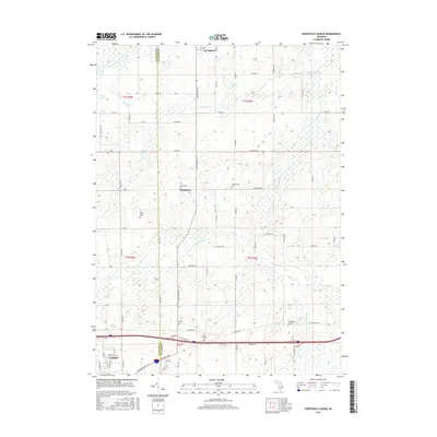 2017 Northeast Albion2017 Print · USGSThe rural landscape between Jackson and Calhoun counties is captured here in the mid-2010s, showing the quiet growth of the area north of ALBION. Genealogists can trace family footprints across several small burial grounds like King Cem, Wright Cem, and the Perry-Graham Cem.
 - 2017 Map of Onondaga, 2017 Print
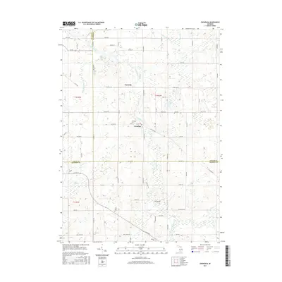 2017 Onondaga2017 Print · USGSMid-Michigan's river-bottom farm country comes into focus at the intersection of three counties during the mid-2010s. Researchers can locate family plots at Onondaga Cemetery or Griffith Cemetery and trace the paths of the Grand River and Sandstone Creek.
 - 2017 Map of Springport, 2017 Print
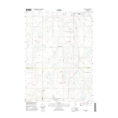 2017 Springport2017 Print · USGSThe intersection of Eaton, Calhoun, and Jackson Counties is captured here in the late 2010s, showing a landscape of small lakes and agricultural drainage. Researchers can trace family history at Oakwood Cem or locate old farmsteads near Charlesworth and the Jerusalem Hills.
 - 2019 Map of Parma, 2019 Print
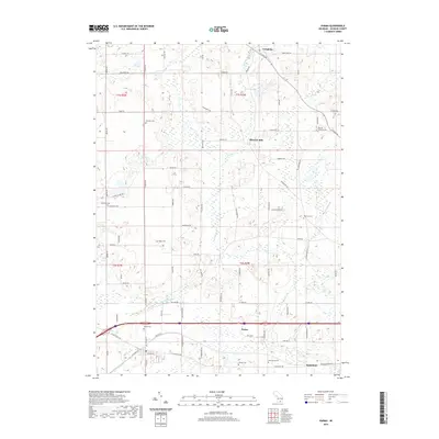 2019 Parma2019 Print · USGSJackson County rural life is mapped here in the late twenty-teens, showing the enduring agricultural townships of Parma and Tompkins. Researchers can trace ancestral roots through numerous local burial sites like Fairview Cem or locate historical hubs like Minards Mill and Parma.
 - 2019 Map of Onondaga, 2019 Print
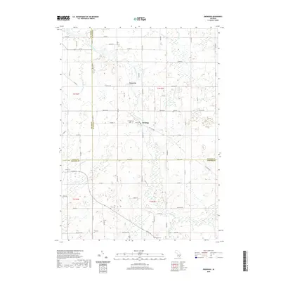 2019 Onondaga2019 Print · USGSThe tri-county intersection of Ingham, Eaton, and Jackson counties comes into focus in this late 2010s survey. Genealogists can trace family heritage across a landscape dotted with historic burial sites like Onondaga Cem, Griffith Cem, and the riverside Tompkins Cem.
 - 2019 Map of Springport, 2019 Print
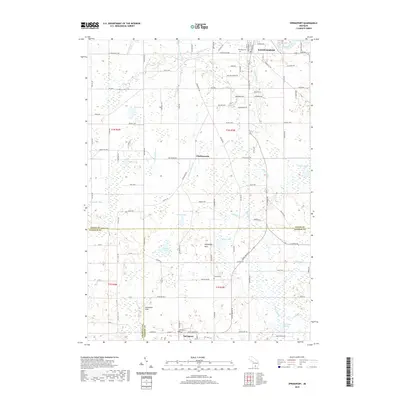 2019 Springport2019 Print · USGSThe tri-county borderlands of Eaton, Calhoun, and Jackson counties are captured here in the late twenty-teens, showing a landscape shaped by glacial hills and agriculture. Researchers can trace family roots at Oakwood Cem or explore the rural surroundings of Springport and Charlesworth.
Showing maps 1-25 of 30
Top cities near Springport Township
- Jackson historical maps
- Albion historical maps
- Charlotte historical maps
- Spring Arbor Township historical maps
- Mason historical maps
- Eaton Rapids historical maps
See more
Top neighborhoods of Springport Township
Frequently asked questions
- What are the different types of historical maps available for Springport Township?
- What is the oldest map of Springport Township?
- Where can I purchase historical maps of Springport Township for my home or office?
- Where can I download high-res historical maps of Springport Township?
- Are there historical topographic maps available for Springport Township?
- Is there historical aerial imagery available for Springport Township?
- Where are historical maps of Springport Township sourced from?