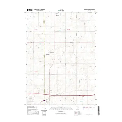
2014 Map of Northeast Albion
USGS Topo · Published 2014About this map
Albion and the surrounding rural townships sit at the transition between Calhoun and Jackson counties in this contemporary topographical study. The landscape is defined by the headwaters of the Kalamazoo River system, including South Branch Rice Cr and N Br Rice Cr, which wind through a patchwork of agricultural lands and woodlots. Numerous small family and community burial grounds, such as the Reed Family Cem, King Cem, and Perry Graham Cem, are scattered across the terrain, reflecting the deep-rooted settlement history of the region. The northern portion of the map features the village of Springport, while the central areas are marked by smaller nodes like Devereaux and Quakertown. Notable water features such as White Lake, Clark Lake, and Colby Spring punctuate the landscape, illustrating the glacial hydrology that shaped this part of Michigan.
Find a feature on this map
42 named features on this map. Tap any name to fly to it.
Don’t see what you’re looking for? This feature index may not catch every label — zoom into the map to look around manually.
Map Details
Editions of this 2014 Northeast Albion Map
This is the sole edition of this map. No revisions or reprints were ever made.
Other maps of this area

1919 · Springport
USGS Topo · 1:62,500

1921 · Springport
USGS Topo · 1:62,500

1921 · Marshall
USGS Topo · 1:62,500

1923 · Marshall
USGS Topo · 1:62,500

1943 · Marshall
USGS Topo · 1:62,500

1948 · Spring Arbor
USGS Topo · 1:62,500

1948 · Homer
USGS Topo · 1:62,500

1949 · Homer
USGS Topo · 1:62,500

1949 · Spring Arbor
USGS Topo · 1:62,500

1958 · Grand Rapids
USGS Topo · 1:250,000