Old Maps of Waterloo Township, Michigan for Metal Detecting
Plan your next treasure hunt with 34 historic maps of Waterloo Township. Find old homesites, ghost towns, trails, and gathering spots that may be lost to time — perfect for identifying promising metal detecting locations.
- Locate forgotten sites: Uncover places like long-lost settlements, abandoned rail lines, or gathering spots.
- Plan better hunts: Use map overlays combined with LiDAR or satellite views to narrow in on historically rich areas.
- Made for detectorists: Thousands of hobbyists use these maps to discover relics, coins, and hidden history.
Use these historic maps to boost your research and find new opportunities beneath the surface of Waterloo Township.
Waterloo Township, MI maps
(34)- 1919 Map of Stockbridge, 1958 Print
 1919 Stockbridge1958 Print · USGSSouthern Michigan at the end of the Great War is a landscape of rural school districts and expanding rail lines. Genealogists and local historians can locate dozens of country schools like Stilson School, family-named landmarks such as Sackrider Hill, and the rail junction at Bullis Crossing.2 unique versions available
 - 1919 Map of Rives Junction, 1960 Print
 1919 Rives Junction1960 Print · USGSThe rural landscapes of Ingham and Jackson Counties are captured here at the end of the Great War. Genealogists can trace family footprints across dozens of local school districts and settlements like Rives Junction, Bunker Hill Center, and Fitchburg.
 - 1921 Map of Rives Junction
 1921 Rives Junction1921 Print · USGSJackson and its northern rural townships are captured in the early twenties, a time of small school districts and steam-powered rail travel. Genealogists can locate family landmarks such as Bunker Hill Chapel, the County Infirmary, and East Rives Cemetery.3 unique versions available
 - 1922 Map of Stockbridge
 1922 Stockbridge1922 Print · USGSSoutheastern Michigan at the start of the twenties is a land of rail-connected hamlets and countless country schools. Genealogists can trace family footprints near Stockbridge and Unadilla, or locate rural landmarks like Strobel School and Sylvan Sta.3 unique versions available
 - 1942 Map of Stockbridge, 1943 Print
 1942 Stockbridge1943 Print · USGSSouth-central Michigan during the early Forties is revealed here as a landscape of interconnected rail towns and scattered country schoolhouses. Genealogists can locate family landmarks like Livermore School, Mausbach School, and the remote Bullis Crossing Cem near the Grand Trunk line.
 - 1958 Map of Grand Rapids, 1973 Print
 1958 Grand Rapids1973 Print · USGSSouthern Michigan at the peak of the postwar era shows a landscape of burgeoning cities and new interstate highways. Trace family roots and regional growth in Grand Rapids, Battle Creek, and the glacial lake country around Gun Lake or Gull Lake.2 unique versions available
 - 1961 Map of Grand Rapids
 1961 Grand Rapids1961 Print · USGSSouthern Michigan at the dawn of the 1960s reveals a region shaped by major river systems and a robust rail network. Trace mid-century industrial growth and land use from Grand Rapids to the Fort Custer Military Reservation and Gun Lake.
 - 1962 Map of Grand Rapids
 1962 Grand Rapids1962 Print · USGSMid-century Southern Michigan is mapped here at a time of massive growth, showing the expanding urban footprints of Grand Rapids and Lansing. Researchers can trace the legacy of the Grand Trunk Western RR, find historic boundaries of the Fort Custer Military Reservation, or locate sporting camps around Gun Lake.2 unique versions available
 - 1970 Map of Munith, 1972 Print
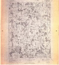 1970 Munith1972 Print · USGSIngham and Jackson counties meet in this 1970s record of rural Michigan, showing the agricultural and lakeside communities before significant modern expansion. Genealogists can trace family footprints through historic burial grounds like Bunker Hill Cemetery and the rail-side settlement of Munith along the Grand Trunk Western line.3 unique versions available
 - 1970 Map of Gilletts Lake, 1973 Print
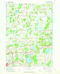 1970 Gilletts Lake1973 Print · USGSJackson County's landscape east of the city is captured here in the early 1970s, showing a blend of institutional land and growing lakeside communities. Trace historic footprints at the State Prison Farm, Henrietta Station, and old family burial grounds like Coon Hill Cem.2 unique versions available
 - 1973 Map of Grass Lake, 1977 Print
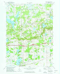 1973 Grass Lake1977 Print · USGSJackson County is shown in the early seventies, a landscape defined by the expansive glacial wetlands and lakes of the Waterloo State Recreation Area. Researchers can trace old family sites and rural landmarks like Mt Hope Cem, the Trist Millpond, and the settlement of Francisco.2 unique versions available
 - 1973 Map of Stockbridge, 1977 Print
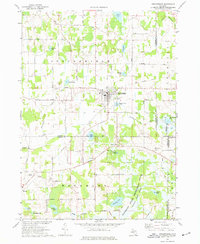 1973 Stockbridge1977 Print · USGSStockbridge and its glacial lake surroundings are captured here in the early seventies, spanning the borders of Ingham, Livingston, and Jackson Counties. Genealogists and local historians can locate several family-named landmarks and rural burial grounds such as Oaklawn Cem, Munith Cem, and the Old Railroad Grade.
 - 1983 Map of Jackson, 1984 Print
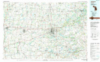 1983 Jackson1984 Print · USGSJackson and the surrounding lake country are shown in the early eighties as a hub of rail transit and outdoor recreation. Local historians can trace institutional footprints like the State Prison Farm or explore the landscape of Minards Mill and Olivet College.
 - 1998 Map of Grass Lake, 2001 Print
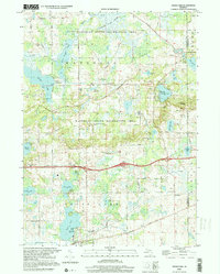 1998 Grass Lake2001 Print · USGSThe lake-dotted borderlands of Jackson and Washtenaw counties come into focus in the late 1990s as a haven for recreation and rural life. Genealogists can trace family landmarks and local gathering spots like St Jacob Ch, East Cem, and the old Trist Millpond.
 - 2011 Map of Pleasant Lake, 2011 Print
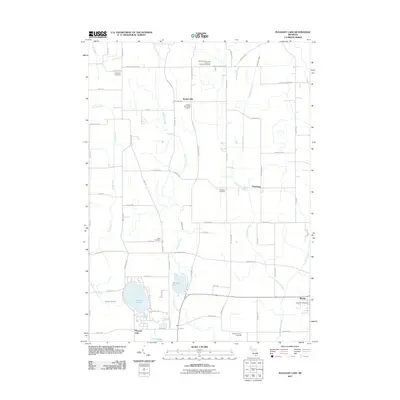 2011 Pleasant Lake2011 Print · USGSThe rural landscape of Ingham County is captured here just after the first decade of the millennium, showing a terrain shaped by farming and glacial lakes. Genealogists can locate several historic burial grounds like Bunker Hill Center Cemetery and Nims Cemetery, or trace the small-town layout of Munith and Fitchburg.
 - 2011 Map of Gilletts Lake, 2011 Print
 2011 Gilletts Lake2011 Print · USGSJackson County’s eastern townships come into focus in the early 2010s, showing a landscape defined by lakefront living and rural corridors. Researchers can trace family history at Coon Hill Cemetery or explore landmarks like Gilletts Lake and the Portage River.
 - 2011 Map of Grass Lake, 2011 Print
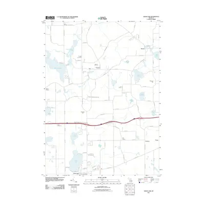 2011 Grass Lake2011 Print · USGSJackson County in the early twenty-first century remains a landscape of glacial lakes and historic hamlets like Waterloo and Francisco. You can trace rural family roots at Moss Cemetery or Saint John's Cemetery and locate landmarks like Sackrider Hill and Tims Lake.
 - 2011 Map of Stockbridge, 2011 Print
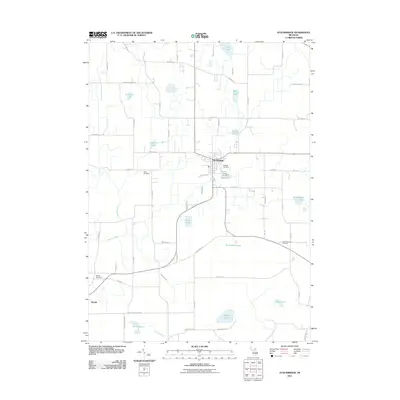 2011 Stockbridge2011 Print · USGSSouthern Michigan’s wetlands and rural townships are captured here in the early 2000s, centered on the village of Stockbridge. Researchers can trace local heritage through Oaklawn Cemetery, the settlement at Munith, and numerous family-named landmarks like Fink Lake.
 - 2014 Map of Stockbridge, 2014 Print
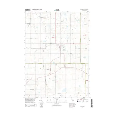 2014 Stockbridge2014 Print · USGSThe village of Stockbridge and its surrounding townships are shown in detail during the early twenty-first century. Researchers can trace ancestral connections at Oaklawn Cem or Munith Cem and explore the complex drainage of Lowe Lake and the Portage River.
 - 2014 Map of Grass Lake, 2014 Print
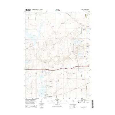 2014 Grass Lake2014 Print · USGSWaterloo and Grass Lake appear in this modern survey of the Jackson County countryside, where old township roads still link centuries-old cemeteries and hamlets. Researchers can locate family landmarks like Saint Jacob's German Lutheran Cem, Sackrider Hill, and the village of Francisco.
 - 2014 Map of Pleasant Lake, 2014 Print
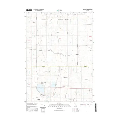 2014 Pleasant Lake2014 Print · USGSBunker Hill and Fitchburg sit at the Ingham and Jackson County border in this 2014 survey. Genealogists and historians can trace numerous family burial sites like Felt Plains Cem and Nims Cem, alongside the shores of Pleasant Lake.
 - 2014 Map of Gilletts Lake, 2014 Print
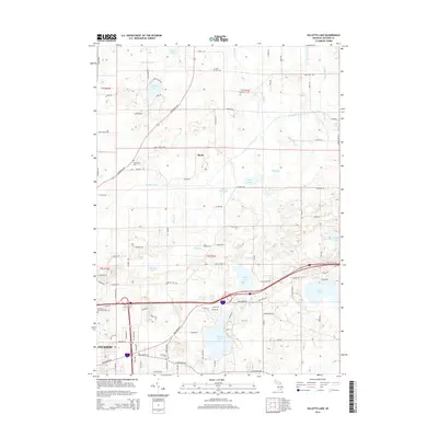 2014 Gilletts Lake2014 Print · USGSJackson County and its eastern lake country appear in high detail during the early 2010s. Local researchers can locate several family-named landmarks and burial sites, including Coon Hill Cem, the settlement of Roots, and the shores of Brill Lake.
 - 2017 Map of Pleasant Lake, 2017 Print
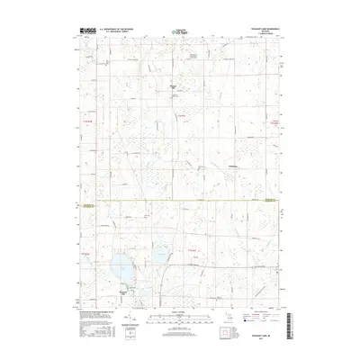 2017 Pleasant Lake2017 Print · USGSBunker Hill and its surrounding townships are shown here in the late twenty-teens, revealing a landscape of historic farmsteads and rural parishes. Genealogists can locate family sites near Saint Cornelius and Cyprian's Catholic Cem, Nims Cem, and the village of Fitchburg.
 - 2017 Map of Grass Lake, 2017 Print
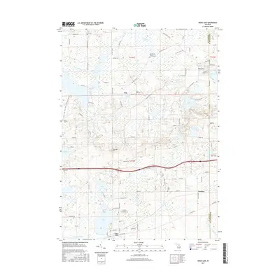 2017 Grass Lake2017 Print · USGSJackson County's lake-rich landscape is captured here in the late twenty-first century, showing the small villages and glacial hills that define the area. Genealogists can locate several family and community burial grounds, including Moss Cem, Miles Cem, and Waterloo Village Cem.
 - 2017 Map of Stockbridge, 2017 Print
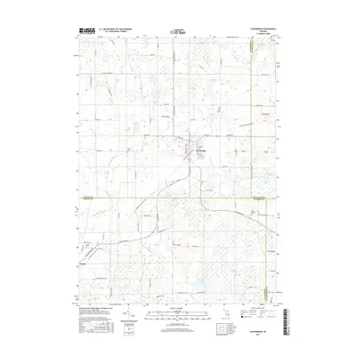 2017 Stockbridge2017 Print · USGSThe village of Stockbridge and the surrounding township lands are captured here during a period of modern preservation and rural continuity. Researchers can trace historic family burial sites at Oaklawn Cem and Derby Cem or follow the path of the Lakelands Trail State Park.
Showing maps 1-25 of 34
Top cities near Waterloo Township
- Jackson historical maps
- Leoni historical maps
- Marion Township historical maps
- Putnam Township historical maps
- Mason historical maps
- Napoleon historical maps
See more
Top neighborhoods of Waterloo Township
Frequently asked questions
- What are the different types of historical maps available for Waterloo Township?
- What is the oldest map of Waterloo Township?
- Where can I purchase historical maps of Waterloo Township for my home or office?
- Where can I download high-res historical maps of Waterloo Township?
- Are there historical topographic maps available for Waterloo Township?
- Is there historical aerial imagery available for Waterloo Township?
- Where are historical maps of Waterloo Township sourced from?