Old Maps of Kalamazoo, Michigan for Genealogy
Trace your family roots with 34 historic maps of Kalamazoo. These high-res maps reveal old neighborhoods, homesites, landmarks, and streets — helping you uncover where your ancestors lived and how the area evolved over time.
- Explore historic neighborhoods: Identify where your relatives may have lived in the 1800s or 1900s.
- Compare maps over time: Trace the changes in streets, buildings, and landmarks for multi-generational research.
- Perfect for genealogy & ancestry research: Used by family historians and researchers to map out lineage and migration.
These maps are an incredible resource for exploring your personal connection to Kalamazoo's past.
Kalamazoo, MI maps
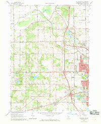
(34)- 1916 Map of Kalamazoo, 1956 Print
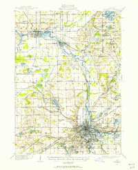 1916 Kalamazoo1956 Print · USGSKalamazoo and the paper-mill towns of the Kalamazoo River valley are captured here during a time of industrial expansion and rail growth. Researchers can trace the early city grid, rural schoolhouses like Honeysette School, and institutional landmarks like the State Hospital.3 unique versions available
 - 1918 Map of Kalamazoo
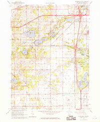
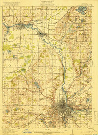 1918 Kalamazoo1918 Print · USGSThe Kalamazoo River valley in the late teens served as a powerhouse for Michigan rail and industry, from the mills in Parchment to the Otsego Dam. Genealogists can locate family sites near rural landmarks like Daugherty Corners, Oshtemo, or the Grand Prairie School.4 unique versions available
 - 1922 Map of Schoolcraft
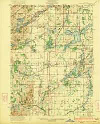 1922 Schoolcraft1922 Print · USGSSouthern Kalamazoo and northern St. Joseph counties are captured here in the early 1920s as a thriving hub of rail transport and rural education. Genealogists can trace family footprints through dozens of local sites, from the rail junction at Schoolcraft to the lakeside Ramona Park and the Flowerfield Sta.5 unique versions available
 - 1943 Map of Kalamazoo
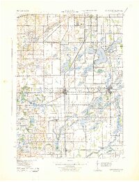
 1943 Kalamazoo1943 Print · USGSMid-century Kalamazoo and its northern satellite towns are shown here during a period of industrial and rail prominence. Genealogists can locate dozens of rural landmarks, from Nazareth Academy to local schoolhouses like Grand Prairie Sch and Star Sch.
 - 1943 Map of Schoolcraft
 1943 Schoolcraft1943 Print · USGSKalamazoo and St. Joseph counties are shown here during the early 1940s, a landscape defined by glacial lakes and the expansive Schoolcraft Prairie. Trace family roots at Vicksburg or locate historic rural schools like Lost Island Sch and Brick Sch.
 - 1958 Map of Grand Rapids, 1973 Print
 1958 Grand Rapids1973 Print · USGSSouthern Michigan at the peak of the postwar era shows a landscape of burgeoning cities and new interstate highways. Trace family roots and regional growth in Grand Rapids, Battle Creek, and the glacial lake country around Gun Lake or Gull Lake.2 unique versions available
 - 1961 Map of Grand Rapids
 1961 Grand Rapids1961 Print · USGSSouthern Michigan at the dawn of the 1960s reveals a region shaped by major river systems and a robust rail network. Trace mid-century industrial growth and land use from Grand Rapids to the Fort Custer Military Reservation and Gun Lake.
 - 1962 Map of Grand Rapids
 1962 Grand Rapids1962 Print · USGSMid-century Southern Michigan is mapped here at a time of massive growth, showing the expanding urban footprints of Grand Rapids and Lansing. Researchers can trace the legacy of the Grand Trunk Western RR, find historic boundaries of the Fort Custer Military Reservation, or locate sporting camps around Gun Lake.2 unique versions available
 - 1967 Map of Kalamazoo SW, 1969 Print
 1967 Kalamazoo SW1969 Print · USGSWestward expansion from KALAMAZOO is captured here in the late sixties as suburban tracts began to meet rural farmland. Researchers can trace family history through local landmarks like Liberty Cem, Doughertys Corners, and many rural school sites such as Alamo Valley Sch.4 unique versions available
 - 1967 Map of Schoolcraft NW, 1969 Print
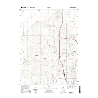
 1967 Schoolcraft NW1969 Print · USGSThe lake-dotted landscape of Kalamazoo County is captured here in the late sixties as the city of PORTAGE expands toward the west. Researchers can locate early rural landmarks including Texas Corners, Hope Cem, and the small Landing Field near the Portage city limits.3 unique versions available
 - 1967 Map of Kalamazoo, 1969 Print
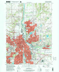
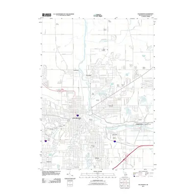
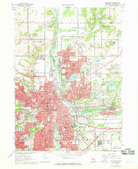 1967 Kalamazoo1969 Print · USGSKalamazoo at the end of the sixties shows a thriving hub of education and industry along the Kalamazoo River. Genealogists and historians can trace the footprint of the Kalamazoo State Hospital or locate family plots in Mountain Home Cem and Mt Olivet Cemetery.5 unique versions available
 - 1967 Map of Portage, 1969 Print
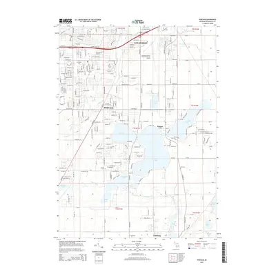
 1967 Portage1969 Print · USGSThe suburbs of Kalamazoo and Portage were rapidly evolving in the late sixties as new schools and shopping centers met the lakefront. Researchers can trace local history through sites like Dry Prairie Cem, Ramona Park, and the Grand Trunk Western line.3 unique versions available
 - 1982 Map of Kalamazoo, 1983 Print
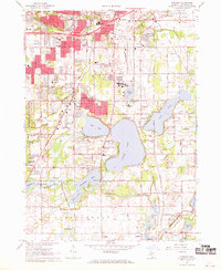
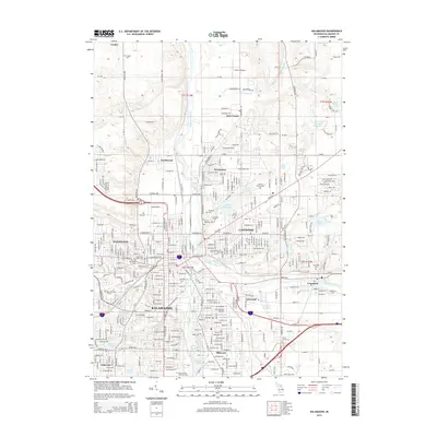
 1982 Kalamazoo1983 Print · USGSThe Kalamazoo River valley in the early eighties shows a landscape of growing suburban centers and heavy rail infrastructure. Genealogists and researchers can trace the limits of Kalamazoo and Battle Creek or locate landmarks like Fort Custer National Cemetery and Gull Lake.
 - 1995 Map of Kalamazoo, 1999 Print
 1995 Kalamazoo1999 Print · USGSKalamazoo and its industrial suburbs are captured in the mid-nineties as the city center thrives alongside the river and rail lines. Researchers can map out institutional history at Western Michigan University and trace family roots at Mt Olivet Cemetery or Mountain Home Cem.
 - 2011 Map of Kalamazoo SW, 2011 Print
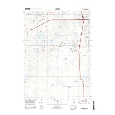
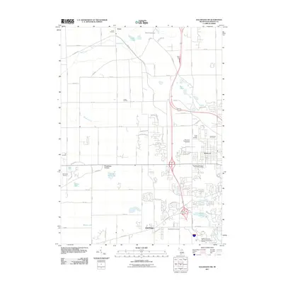 2011 Kalamazoo SW2011 Print · USGSCovers Kalamazoo, including Alamo Township, Cooper Charter Township, and other nearby areas
 - 2011 Map of Portage, 2011 Print
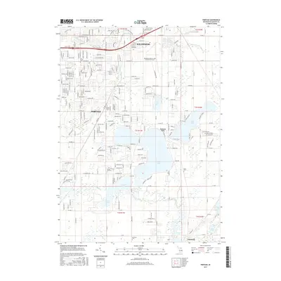
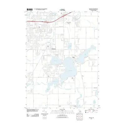 2011 Portage2011 Print · USGSCovers Kalamazoo, including Portage, Vicksburg, and other nearby areas
 - 2011 Map of Schoolcraft NW, 2011 Print
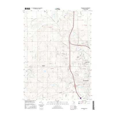
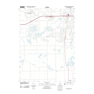 2011 Schoolcraft NW2011 Print · USGSCovers Kalamazoo, including Portage, Schoolcraft, and other nearby areas
 - 2011 Map of Kalamazoo, 2011 Print
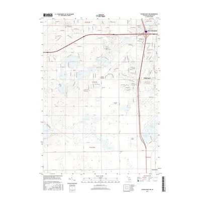
 2011 Kalamazoo2011 Print · USGSCovers Kalamazoo, including Parchment, Richland Township, and other nearby areas
 - 2014 Map of Kalamazoo SW, 2014 Print
 2014 Kalamazoo SW2014 Print · USGSCovers Kalamazoo, including Alamo Township, Cooper Charter Township, and other nearby areas
 - 2014 Map of Portage, 2014 Print
 2014 Portage2014 Print · USGSCovers Kalamazoo, including Portage, Vicksburg, and other nearby areas
 - 2014 Map of Kalamazoo, 2014 Print
 2014 Kalamazoo2014 Print · USGSCovers Kalamazoo, including Parchment, Richland Township, and other nearby areas
 - 2014 Map of Schoolcraft NW, 2014 Print
 2014 Schoolcraft NW2014 Print · USGSCovers Kalamazoo, including Portage, Schoolcraft, and other nearby areas
 - 2017 Map of Portage, 2017 Print
 2017 Portage2017 Print · USGSCovers Kalamazoo, including Portage, Vicksburg, and other nearby areas
 - 2017 Map of Kalamazoo SW, 2017 Print
 2017 Kalamazoo SW2017 Print · USGSCovers Kalamazoo, including Alamo Township, Cooper Charter Township, and other nearby areas
 - 2017 Map of Schoolcraft NW, 2017 Print
 2017 Schoolcraft NW2017 Print · USGSCovers Kalamazoo, including Portage, Schoolcraft, and other nearby areas
Showing maps 1-25 of 34
Top cities near Kalamazoo
- Portage historical maps
- Pavilion historical maps
- Alamo historical maps
- Plainwell historical maps
- Otsego historical maps
- Mattawan historical maps
See more
Top neighborhoods of Kalamazoo
Frequently asked questions
- What are the different types of historical maps available for Kalamazoo?
- What is the oldest map of Kalamazoo?
- Where can I purchase historical maps of Kalamazoo for my home or office?
- Where can I download high-res historical maps of Kalamazoo?
- Are there historical topographic maps available for Kalamazoo?
- Is there historical aerial imagery available for Kalamazoo?
- Where are historical maps of Kalamazoo sourced from?