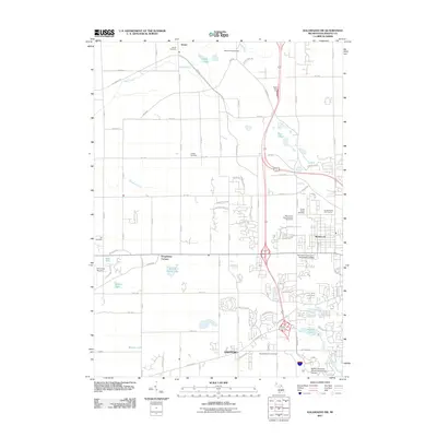
2011 Map of Kalamazoo SW
USGS Topo · Published 2011About this map
Alamo and Oshtemo anchor this survey of the landscape just west of the city, where the expanding footprint of higher education and residential suburbs meets established rural heritage. The southern portion of the map is dominated by academic expansion, including the Western Michigan University-Parkview Campus and Davenport University- Kalamazoo Campus, situated near Asylum Lake. This shift toward institutional development contrasts with the historical markers found in the numerous burying grounds like Alamo Cemetery, Liberty Cemetery, and Genesee Prairie Cemetery.
Find a feature on this map
91 named features on this map. Tap any name to fly to it.
Don’t see what you’re looking for? This feature index may not catch every label — zoom into the map to look around manually.
Map Details
Editions of this 2011 Kalamazoo SW Map
This is the sole edition of this map. No revisions or reprints were ever made.
Other maps of this area

1916 · Kalamazoo
USGS Topo · 1:62,500

1918 · Kalamazoo
USGS Topo · 1:62,500

1922 · Schoolcraft
USGS Topo · 1:62,500

1943 · Kalamazoo
USGS Topo · 1:62,500

1943 · Schoolcraft
USGS Topo · 1:62,500

1944 · Marcellus
USGS Topo · 1:62,500

1946 · Marcellus
USGS Topo · 1:62,500

1946 · Gobles
USGS Topo · 1:62,500

1948 · Gobles
USGS Topo · 1:62,500

1949 · Gobles
USGS Topo · 1:62,500
Featured Places
- Kalamazoo, MI
- Alamo Township, MI
- Cooper Charter Township, MI
- Kalamazoo Charter Township, MI
- Oshtemo Charter Township, MI