2000s (21st Century) Maps of Kalkaska Township, Michigan
Explore 30 historic maps of Kalkaska Township from the 2000s (21st Century). These maps offer a rare glimpse into what life looked like during the 2000s — showing old roads, neighborhoods, homes, and landmarks that have changed or disappeared over time.
Whether you're researching your family's past, planning a metal detecting trip, or studying how Kalkaska Township's landscape evolved across the 2000s, these high-resolution maps are a powerful tool for exploring the history of this region.
- Focus on a specific era: All maps on this page are from the 2000s, giving you a focused view of this time period.
- See what’s changed: Compare century-old streets, trails, and buildings to today's modern landscape using overlays and satellite layers.
- Research with precision: Use these maps for genealogy, historical research, land use analysis, or educational projects.
- View, download, or print: Maps are fully viewable online in high resolution, and can be downloaded or printed for your own records.
Start exploring Kalkaska Township's history through authentic maps from the 2000s. This is your window into the past.
Kalkaska Township, MI maps
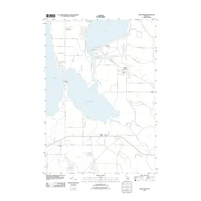
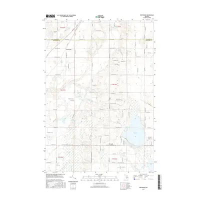
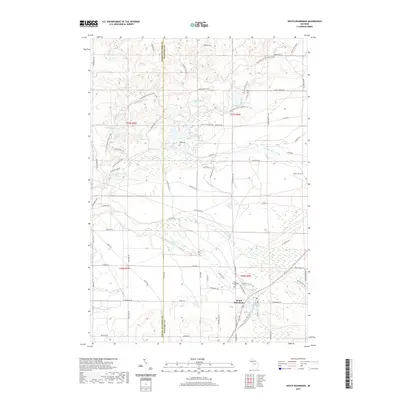
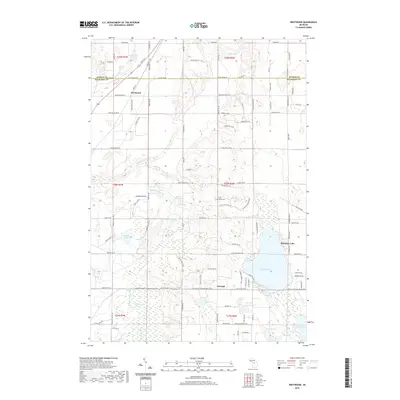
(30)- 2011 Map of Westwood, 2011 Print
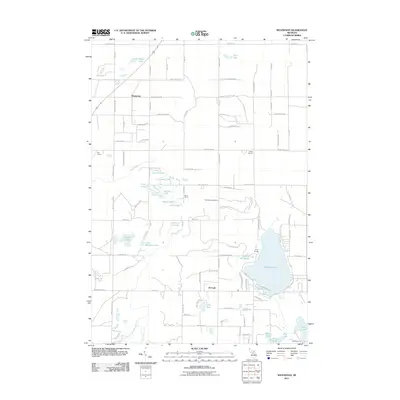 2011 Westwood2011 Print · USGSCovers Kalkaska Township, including Custer Township, Coldsprings Township, and other nearby areas
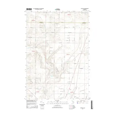
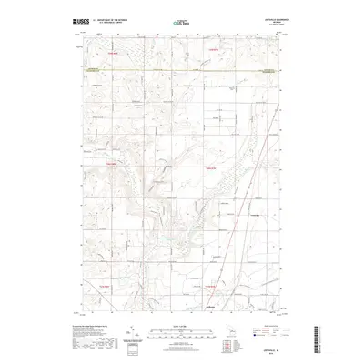
 - 2011 Map of Leetsville, 2011 Print
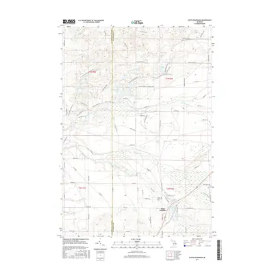
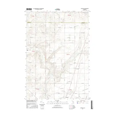
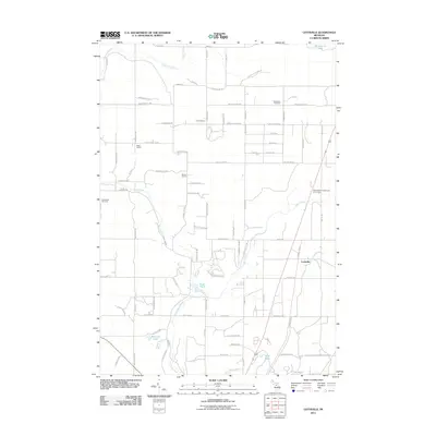 2011 Leetsville2011 Print · USGSCovers Kalkaska Township, including Kalkaska, Custer Township, and other nearby areas
 - 2011 Map of Sigma, 2011 Print
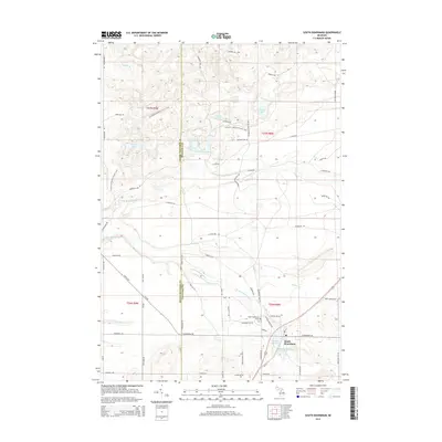
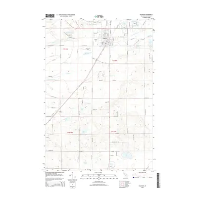
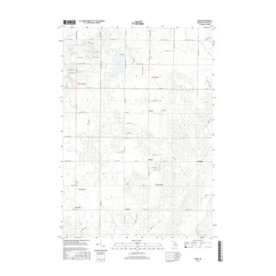
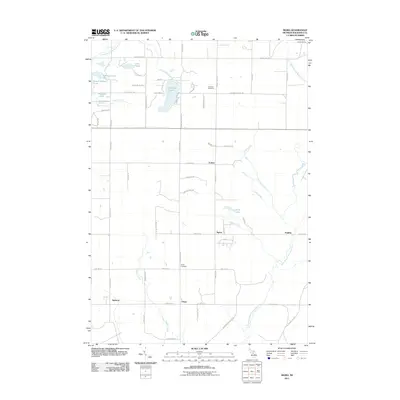 2011 Sigma2011 Print · USGSCovers Kalkaska Township, including Oliver Township, Spencer, and other nearby areas
 - 2011 Map of Kalkaska, 2011 Print
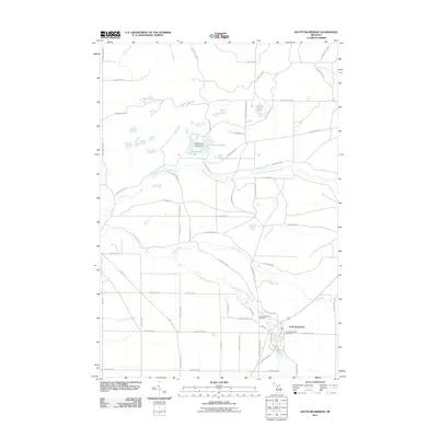
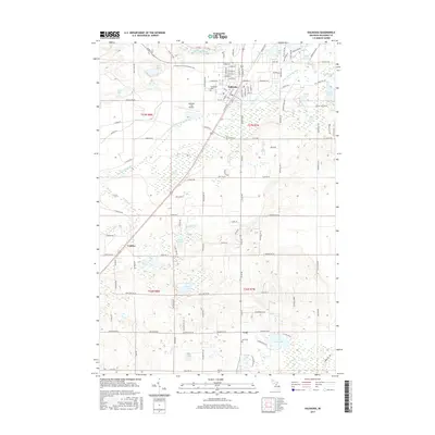
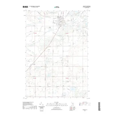
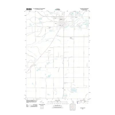 2011 Kalkaska2011 Print · USGSCovers Kalkaska Township, including Kalkaska, Boardman Township, and other nearby areas
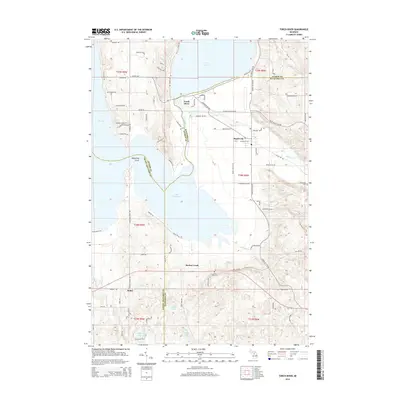
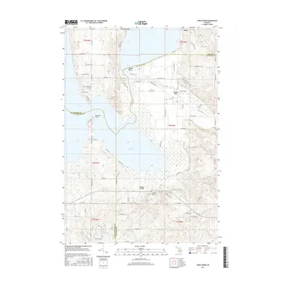
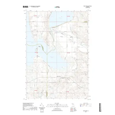
 - 2011 Map of Torch River, 2011 Print
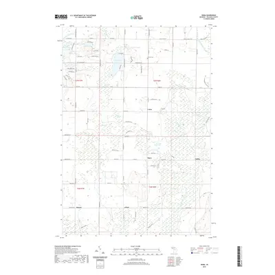
 2011 Torch River2011 Print · USGSCovers Kalkaska Township, including Whitewater Township, Torch River, and other nearby areas
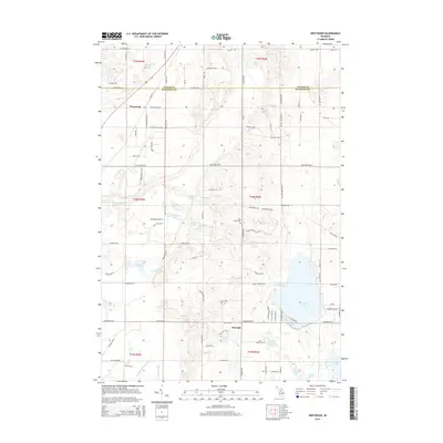
 - 2011 Map of South Boardman, 2011 Print
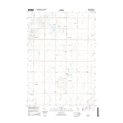
 2011 South Boardman2011 Print · USGSCovers Kalkaska Township, including Whitewater Township, Union Township, and other nearby areas
 - 2014 Map of Sigma, 2014 Print
 2014 Sigma2014 Print · USGSCovers Kalkaska Township, including Oliver Township, Spencer, and other nearby areas
 - 2014 Map of South Boardman, 2014 Print
 2014 South Boardman2014 Print · USGSCovers Kalkaska Township, including Whitewater Township, Union Township, and other nearby areas
 - 2014 Map of Torch River, 2014 Print
 2014 Torch River2014 Print · USGSCovers Kalkaska Township, including Whitewater Township, Torch River, and other nearby areas
 - 2014 Map of Leetsville, 2014 Print
 2014 Leetsville2014 Print · USGSCovers Kalkaska Township, including Kalkaska, Custer Township, and other nearby areas
 - 2014 Map of Westwood, 2014 Print
 2014 Westwood2014 Print · USGSCovers Kalkaska Township, including Custer Township, Coldsprings Township, and other nearby areas
 - 2014 Map of Kalkaska, 2014 Print
 2014 Kalkaska2014 Print · USGSCovers Kalkaska Township, including Kalkaska, Boardman Township, and other nearby areas
 - 2017 Map of Torch River, 2017 Print
 2017 Torch River2017 Print · USGSCovers Kalkaska Township, including Whitewater Township, Torch River, and other nearby areas
 - 2017 Map of Westwood, 2017 Print
 2017 Westwood2017 Print · USGSCovers Kalkaska Township, including Custer Township, Coldsprings Township, and other nearby areas
 - 2017 Map of Sigma, 2017 Print
 2017 Sigma2017 Print · USGSCovers Kalkaska Township, including Oliver Township, Spencer, and other nearby areas
 - 2017 Map of South Boardman, 2017 Print
 2017 South Boardman2017 Print · USGSCovers Kalkaska Township, including Whitewater Township, Union Township, and other nearby areas
 - 2017 Map of Kalkaska, 2017 Print
 2017 Kalkaska2017 Print · USGSCovers Kalkaska Township, including Kalkaska, Boardman Township, and other nearby areas
 - 2017 Map of Leetsville, 2017 Print
 2017 Leetsville2017 Print · USGSCovers Kalkaska Township, including Kalkaska, Custer Township, and other nearby areas
 - 2019 Map of Sigma, 2019 Print
 2019 Sigma2019 Print · USGSCovers Kalkaska Township, including Oliver Township, Spencer, and other nearby areas
 - 2019 Map of Kalkaska, 2019 Print
 2019 Kalkaska2019 Print · USGSCovers Kalkaska Township, including Kalkaska, Boardman Township, and other nearby areas
 - 2019 Map of South Boardman, 2019 Print
 2019 South Boardman2019 Print · USGSCovers Kalkaska Township, including Whitewater Township, Union Township, and other nearby areas
 - 2019 Map of Leetsville, 2019 Print
 2019 Leetsville2019 Print · USGSCovers Kalkaska Township, including Kalkaska, Custer Township, and other nearby areas
 - 2019 Map of Westwood, 2019 Print
 2019 Westwood2019 Print · USGSCovers Kalkaska Township, including Custer Township, Coldsprings Township, and other nearby areas
 - 2019 Map of Torch River, 2019 Print
 2019 Torch River2019 Print · USGSCovers Kalkaska Township, including Whitewater Township, Torch River, and other nearby areas
 - 2023 Map of Kalkaska, 2023 Print
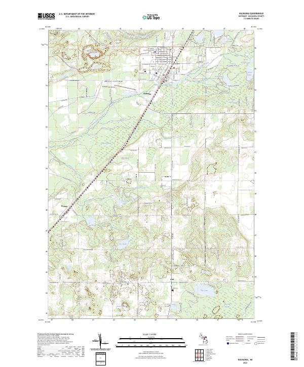 2023 Kalkaska2023 Print · USGSKalkaska and its surrounding northern Michigan wetlands are shown in great detail during the early 2020s. Genealogists and hikers can trace the North Country National Scenic Trl, locate Lodi Cem, or explore the environs of Crofton.
Showing maps 1-25 of 30
Top cities near Kalkaska Township
- Acme Township historical maps
- Whitewater Township historical maps
- Kalkaska historical maps
- Elk Rapids historical maps
- Fife Lake Township historical maps
- Mancelona historical maps
See more
Top neighborhoods of Kalkaska Township
Frequently asked questions
- What are the different types of historical maps available for Kalkaska Township?
- What is the oldest map of Kalkaska Township?
- Where can I purchase historical maps of Kalkaska Township for my home or office?
- Where can I download high-res historical maps of Kalkaska Township?
- Are there historical topographic maps available for Kalkaska Township?
- Is there historical aerial imagery available for Kalkaska Township?
- Where are historical maps of Kalkaska Township sourced from?