2000s (21st Century) Maps of Lake County, Michigan
Explore 100 historic maps of Lake County from the 2000s (21st Century). These maps offer a rare glimpse into what life looked like during the 2000s — showing old roads, neighborhoods, homes, and landmarks that have changed or disappeared over time.
Whether you're researching your family's past, planning a metal detecting trip, or studying how Lake County's landscape evolved across the 2000s, these high-resolution maps are a powerful tool for exploring the history of this region.
- Focus on a specific era: All maps on this page are from the 2000s, giving you a focused view of this time period.
- See what’s changed: Compare century-old streets, trails, and buildings to today's modern landscape using overlays and satellite layers.
- Research with precision: Use these maps for genealogy, historical research, land use analysis, or educational projects.
- View, download, or print: Maps are fully viewable online in high resolution, and can be downloaded or printed for your own records.
Start exploring Lake County's history through authentic maps from the 2000s. This is your window into the past.
Lake County, MI maps
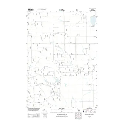
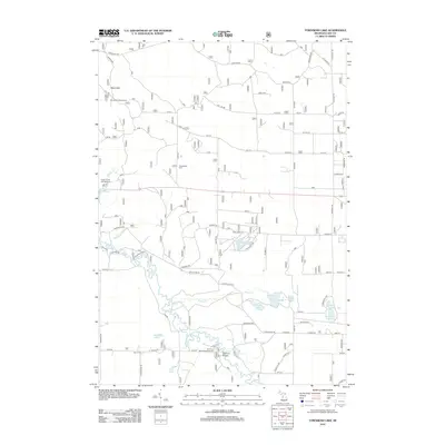
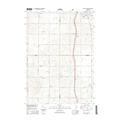
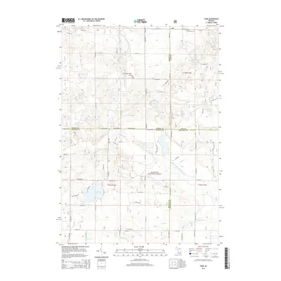
(100)- 2011 Map of Reed City North, 2011 Print
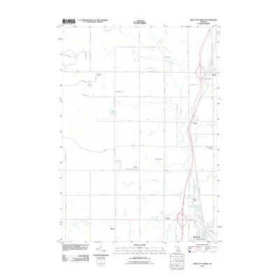 2011 Reed City North2011 Print · USGSCovers Lake County, including Reed City, Ellsworth Township, and other nearby areas
 - 2011 Map of Reed City South, 2011 Print
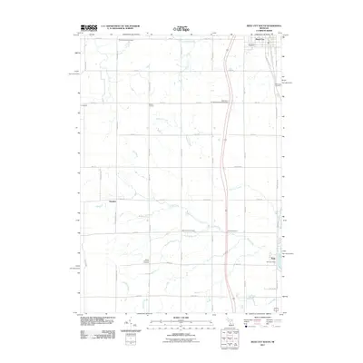 2011 Reed City South2011 Print · USGSCovers Lake County, including Reed City, Hawkins, and other nearby areas
 - 2012 Map of Hoxeyville, 2012 Print
 2012 Hoxeyville2012 Print · USGSCovers Lake County, including Dover Township, South Branch Township, and other nearby areas
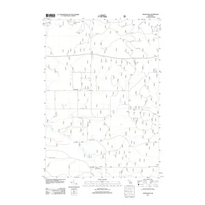
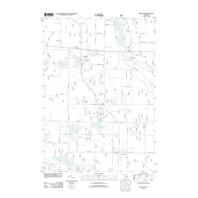
 - 2012 Map of Wellston NE, 2012 Print
 2012 Wellston NE2012 Print · USGSCovers Lake County, including Norman Township, Eden Township, and other nearby areas
 - 2012 Map of Axin, 2012 Print
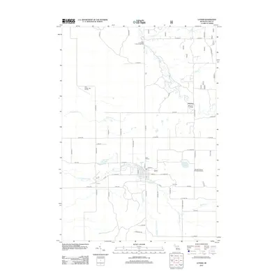
 2012 Axin2012 Print · USGSCovers Lake County, including Dover Township, Burdell Township, and other nearby areas
 - 2012 Map of Whipple Lake, 2012 Print
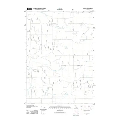 2012 Whipple Lake2012 Print · USGSCovers Lake County, including Yates Township, Home Township, and other nearby areas
 - 2012 Map of Tallman, 2012 Print
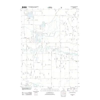 2012 Tallman2012 Print · USGSCovers Lake County, including Branch Township, Logan Township, and other nearby areas
 - 2012 Map of Carr, 2012 Print
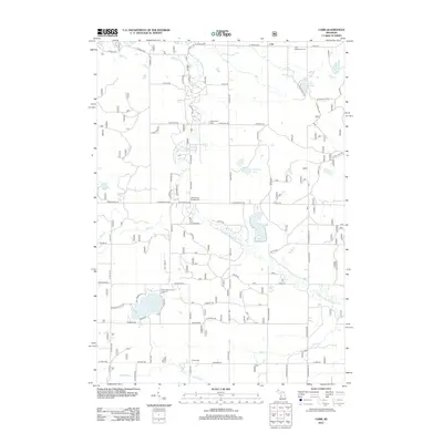 2012 Carr2012 Print · USGSCovers Lake County, including Troy Township, Colfax Township, and other nearby areas
 - 2012 Map of Stewart Lake, 2012 Print
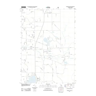 2012 Stewart Lake2012 Print · USGSCovers Lake County, including Eden Township, Newkirk Township, and other nearby areas
 - 2012 Map of Big Star Lake, 2012 Print
 2012 Big Star Lake2012 Print · USGSCovers Lake County, including Troy Township, Pine Grove Beach, and other nearby areas
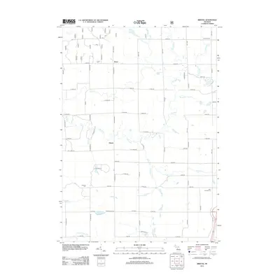
 - 2012 Map of Bristol, 2012 Print
 2012 Bristol2012 Print · USGSCovers Lake County, including Dover Township, Ellsworth Township, and other nearby areas
 - 2012 Map of Millerton, 2012 Print
 2012 Millerton2012 Print · USGSCovers Lake County, including Millerton, Sheridan Township, and other nearby areas
 - 2012 Map of Townsend Lake, 2012 Print
 2012 Townsend Lake2012 Print · USGSCovers Lake County, including Webber Township, Sauble Township, and other nearby areas
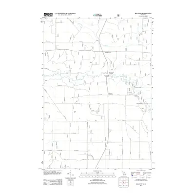
 - 2012 Map of Wellston, 2012 Print
 2012 Wellston2012 Print · USGSCovers Lake County, including Wellston, Norman Township, and other nearby areas
 - 2012 Map of Chase, 2012 Print
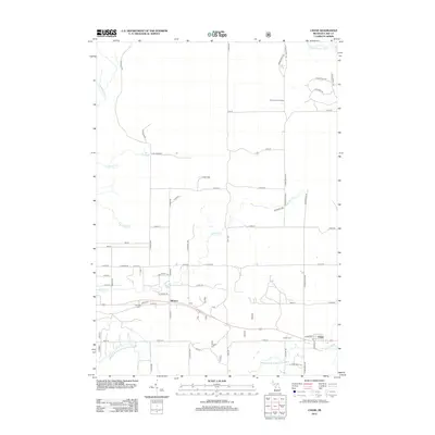 2012 Chase2012 Print · USGSCovers Lake County, including Chase, Ellsworth Township, and other nearby areas
 - 2012 Map of Peacock, 2012 Print
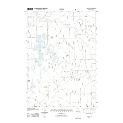 2012 Peacock2012 Print · USGSCovers Lake County, including Peacock, Sauble, and other nearby areas
 - 2012 Map of Luther, 2012 Print
 2012 Luther2012 Print · USGSCovers Lake County, including Luther, Dover Township, and other nearby areas
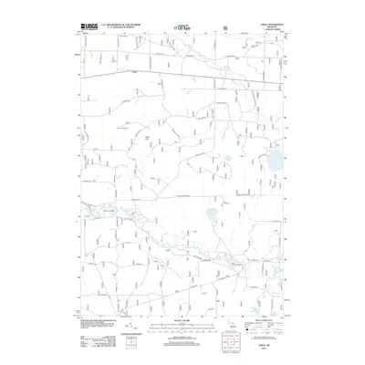
 - 2012 Map of Udell, 2012 Print
 2012 Udell2012 Print · USGSCovers Lake County, including Norman Township, Stronach Township, and other nearby areas
 - 2012 Map of Marlborough, 2012 Print
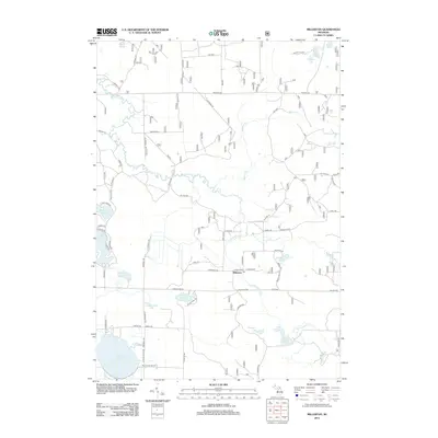
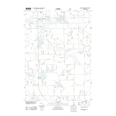 2012 Marlborough2012 Print · USGSCovers Lake County, including Lilley, Marlborough, and other nearby areas
 - 2012 Map of Baldwin, 2012 Print
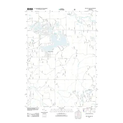
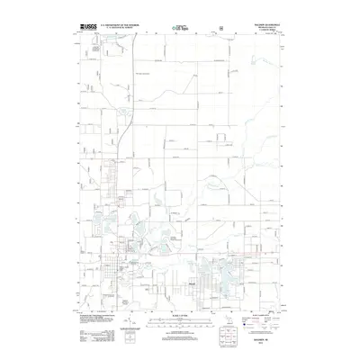 2012 Baldwin2012 Print · USGSCovers Lake County, including Baldwin, Webber Township, and other nearby areas
 - 2014 Map of Reed City South, 2014 Print
 2014 Reed City South2014 Print · USGSCovers Lake County, including Reed City, Hawkins, and other nearby areas
 - 2014 Map of Townsend Lake, 2014 Print
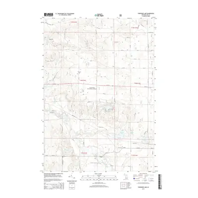 2014 Townsend Lake2014 Print · USGSCovers Lake County, including Webber Township, Sauble Township, and other nearby areas
 - 2014 Map of Chase, 2014 Print
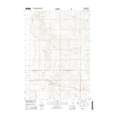 2014 Chase2014 Print · USGSCovers Lake County, including Chase, Ellsworth Township, and other nearby areas
 - 2014 Map of Baldwin, 2014 Print
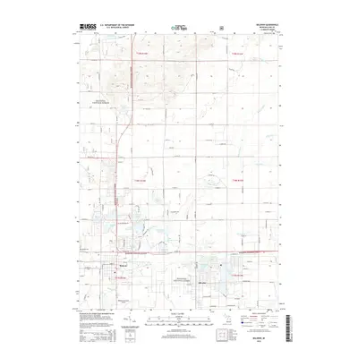 2014 Baldwin2014 Print · USGSCovers Lake County, including Baldwin, Webber Township, and other nearby areas
 - 2014 Map of Carr, 2014 Print
 2014 Carr2014 Print · USGSCovers Lake County, including Troy Township, Colfax Township, and other nearby areas
Showing maps 1-25 of 100
Top cities of Lake County
Frequently asked questions
- What are the different types of historical maps available for Lake County?
- What is the oldest map of Lake County?
- Where can I purchase historical maps of Lake County for my home or office?
- Where can I download high-res historical maps of Lake County?
- Are there historical topographic maps available for Lake County?
- Is there historical aerial imagery available for Lake County?
- Where are historical maps of Lake County sourced from?