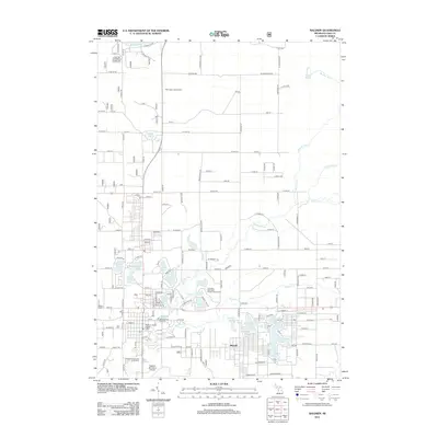
2012 Map of Baldwin
USGS Topo · Published 2012About this map
Idlewild occupies a central role in this Michigan landscape, situated among a dense network of water bodies including Idlewild Lake, Paradise Lake, and Tank Lake. The area's character is defined by its recreational and conservation infrastructure, from Ivan's Campground and Cabins to the Leverentz Lake State Forest Campground. This 2012 survey illustrates the importance of local resources and public land management, evidenced by the Baldwin Fish Hatchery and the Baldwin District Ranger Office.
Find a feature on this map
107 named features on this map. Tap any name to fly to it.
Don’t see what you’re looking for? This feature index may not catch every label — zoom into the map to look around manually.
Map Details
Editions of this 2012 Baldwin Map
This is the sole edition of this map. No revisions or reprints were ever made.
Other maps of this area

1931 · Baldwin NW
USGS Topo · 1:31,680

1931 · Baldwin NE
USGS Topo · 1:31,680

1932 · Chase NW
USGS Topo · 1:31,680

1933 · Peacock SE
USGS Topo · 1:31,680

1933 · Peacock SW
USGS Topo · 1:31,680

1933 · Luther SW
USGS Topo · 1:31,680

1954 · Traverse City
USGS Topo · 1:250,000

1954 · Midland
USGS Topo · 1:250,000

1957 · Luther
USGS Topo · 1:62,500

1957 · Wellston
USGS Topo · 1:62,500