2000s (21st Century) Maps of Elba Township, Michigan
Explore 20 historic maps of Elba Township from the 2000s (21st Century). These maps offer a rare glimpse into what life looked like during the 2000s — showing old roads, neighborhoods, homes, and landmarks that have changed or disappeared over time.
Whether you're researching your family's past, planning a metal detecting trip, or studying how Elba Township's landscape evolved across the 2000s, these high-resolution maps are a powerful tool for exploring the history of this region.
- Focus on a specific era: All maps on this page are from the 2000s, giving you a focused view of this time period.
- See what’s changed: Compare century-old streets, trails, and buildings to today's modern landscape using overlays and satellite layers.
- Research with precision: Use these maps for genealogy, historical research, land use analysis, or educational projects.
- View, download, or print: Maps are fully viewable online in high resolution, and can be downloaded or printed for your own records.
Start exploring Elba Township's history through authentic maps from the 2000s. This is your window into the past.
Elba Township, MI maps
(20)- 2011 Map of Elba, 2011 Print
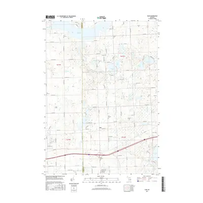
 2011 Elba2011 Print · USGSCovers Elba Township, including Elba, Oregon Township, and other nearby areas
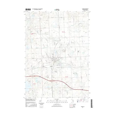
 - 2011 Map of Lapeer, 2011 Print
 2011 Lapeer2011 Print · USGSCovers Elba Township, including Lapeer, Oregon Township, and other nearby areas
 - 2011 Map of Metamora, 2011 Print
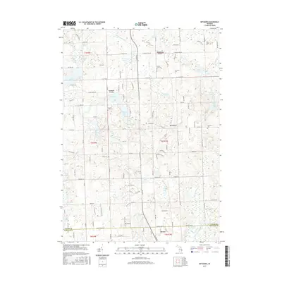
 2011 Metamora2011 Print · USGSCovers Elba Township, including Oxford Charter Township, Metamora, and other nearby areas
 - 2011 Map of Hadley, 2011 Print
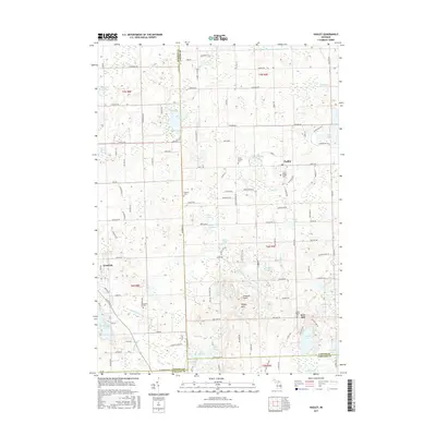
 2011 Hadley2011 Print · USGSCovers Elba Township, including Hadley, Goodrich, and other nearby areas
 - 2014 Map of Metamora, 2014 Print
 2014 Metamora2014 Print · USGSCovers Elba Township, including Oxford Charter Township, Metamora, and other nearby areas
 - 2014 Map of Hadley, 2014 Print
 2014 Hadley2014 Print · USGSCovers Elba Township, including Hadley, Goodrich, and other nearby areas
 - 2014 Map of Lapeer, 2014 Print
 2014 Lapeer2014 Print · USGSCovers Elba Township, including Lapeer, Oregon Township, and other nearby areas
 - 2014 Map of Elba, 2014 Print
 2014 Elba2014 Print · USGSCovers Elba Township, including Elba, Oregon Township, and other nearby areas
 - 2017 Map of Lapeer, 2017 Print
 2017 Lapeer2017 Print · USGSCovers Elba Township, including Lapeer, Oregon Township, and other nearby areas
 - 2017 Map of Hadley, 2017 Print
 2017 Hadley2017 Print · USGSCovers Elba Township, including Hadley, Goodrich, and other nearby areas
 - 2017 Map of Metamora, 2017 Print
 2017 Metamora2017 Print · USGSCovers Elba Township, including Oxford Charter Township, Metamora, and other nearby areas
 - 2017 Map of Elba, 2017 Print
 2017 Elba2017 Print · USGSCovers Elba Township, including Elba, Oregon Township, and other nearby areas
 - 2019 Map of Hadley, 2019 Print
 2019 Hadley2019 Print · USGSCovers Elba Township, including Hadley, Goodrich, and other nearby areas
 - 2019 Map of Metamora, 2019 Print
 2019 Metamora2019 Print · USGSCovers Elba Township, including Oxford Charter Township, Metamora, and other nearby areas
 - 2019 Map of Elba, 2019 Print
 2019 Elba2019 Print · USGSCovers Elba Township, including Elba, Oregon Township, and other nearby areas
 - 2019 Map of Lapeer, 2019 Print
 2019 Lapeer2019 Print · USGSCovers Elba Township, including Lapeer, Oregon Township, and other nearby areas
 - 2023 Map of Lapeer, 2023 Print
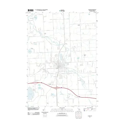
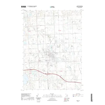
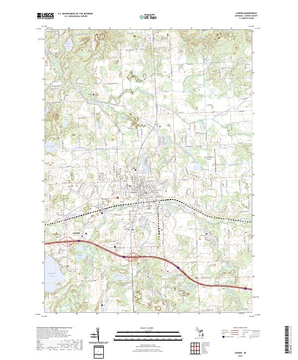 2023 Lapeer2023 Print · USGSThe city of Lapeer and its surrounding lake-dotted townships are captured here in the early 2020s. Genealogists and local researchers can locate numerous historic burial sites, from Mount Hope Cem to the Mount Loretto Cem, alongside the Lapeer County Complex.
 - 2023 Map of Metamora, 2023 Print
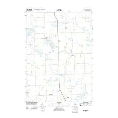
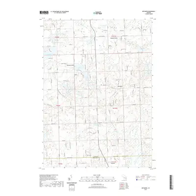
 2023 Metamora2023 Print · USGSLapeer County’s glacial lake country is captured in this recent survey of the Metamora and Thomas area. Researchers can trace historic cemeteries like Hunters Creek Cem and old community centers such as Farmers Creek or the high ground at Mount Christie.
 - 2023 Map of Hadley, 2023 Print
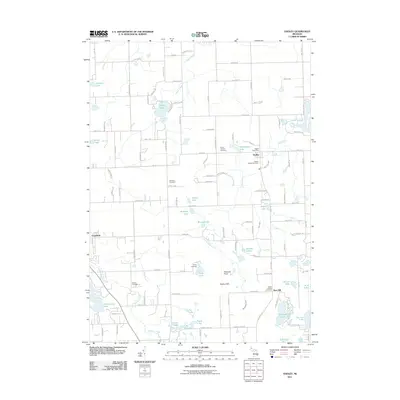
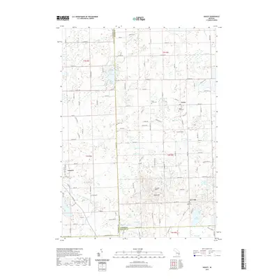
 2023 Hadley2023 Print · USGSLapeer County’s glacial landscape is shown in detail during the early 2020s, highlighting the area’s dense concentration of lakes and hills. Researchers can locate family landmarks like the Sweers Family Burial Ground and Sanborn Cem or trace the drainage of Hasler Creek.
 - 2023 Map of Elba, 2023 Print
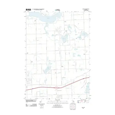
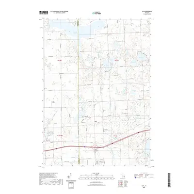
 2023 Elba2023 Print · USGSLapeer County at the turn of the 21st century remains a landscape of managed waterways and quiet rural corners. Researchers can trace family history through numerous local burial sites like Bentley Cemetery and Lamoreaux Cemetery or follow the development of Holloway and Elba.
End of results
Showing maps 1-20 of 20
Top cities near Elba Township
- Flint historical maps
- Orion Charter Township historical maps
- Independence Charter Township historical maps
- Burton historical maps
- Oxford Charter Township historical maps
- Oakland Charter Township historical maps
See more
Top neighborhoods of Elba Township
Frequently asked questions
- What are the different types of historical maps available for Elba Township?
- What is the oldest map of Elba Township?
- Where can I purchase historical maps of Elba Township for my home or office?
- Where can I download high-res historical maps of Elba Township?
- Are there historical topographic maps available for Elba Township?
- Is there historical aerial imagery available for Elba Township?
- Where are historical maps of Elba Township sourced from?