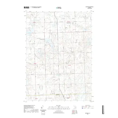
2019 Map of Metamora
USGS Topo · Published 2019About this map
Metamora serves as the central hub of this Lapeer County landscape, where the grain of the land is defined by a dense network of glacial lakes and wetlands. The village sits at the heart of a region transitioning into the northern reaches of Oakland Co, punctuated by the elevation of Mt Christie to the south. Historically significant hamlets like Farmers Creek and Hunters Creek anchor the surrounding rural sections, each supported by their respective burial grounds including Farmers Creek Cem and Hunters Creek Cem. The water systems here are complex, with the South Branch Flint River and numerous drains like Mirror Lake Drain connecting water bodies such as Lake Metamora, Mirror Lake, and Wolf Lake. This survey illustrates the persistent agricultural and residential patterns of the area, where naming conventions often reflect the local hydrology and the early families who established Schuneman Cem and Harris Cem.
Find a feature on this map
137 named features on this map. Tap any name to fly to it.
Don’t see what you’re looking for? This feature index may not catch every label — zoom into the map to look around manually.
Map Details
Editions of this 2019 Metamora Map
This is the sole edition of this map. No revisions or reprints were ever made.
Other maps of this area

1943 · Ortonville
USGS Topo · 1:24,000

1943 · Lake Orion
USGS Topo · 1:24,000

1943 · Oxford
USGS Topo · 1:24,000

1943 · Metamora
USGS Topo · 1:24,000

1945 · Thornville
USGS Topo · 1:24,000

1945 · Oxford
USGS Topo · 1:24,000
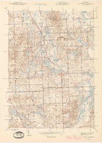
1945 · Ortonville
USGS Topo · 1:24,000

1945 · Hadley
USGS Topo · 1:24,000
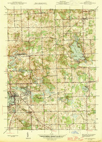
1945 · Lake Orion
USGS Topo · 1:24,000

1946 · Metamora
USGS Topo · 1:24,000