2000s (21st Century) Maps of Rich Township, Michigan
Explore 20 historic maps of Rich Township from the 2000s (21st Century). These maps offer a rare glimpse into what life looked like during the 2000s — showing old roads, neighborhoods, homes, and landmarks that have changed or disappeared over time.
Whether you're researching your family's past, planning a metal detecting trip, or studying how Rich Township's landscape evolved across the 2000s, these high-resolution maps are a powerful tool for exploring the history of this region.
- Focus on a specific era: All maps on this page are from the 2000s, giving you a focused view of this time period.
- See what’s changed: Compare century-old streets, trails, and buildings to today's modern landscape using overlays and satellite layers.
- Research with precision: Use these maps for genealogy, historical research, land use analysis, or educational projects.
- View, download, or print: Maps are fully viewable online in high resolution, and can be downloaded or printed for your own records.
Start exploring Rich Township's history through authentic maps from the 2000s. This is your window into the past.
Rich Township, MI maps
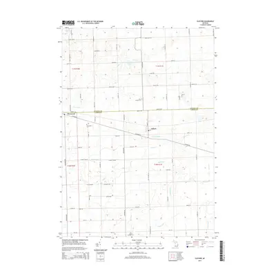
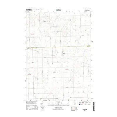
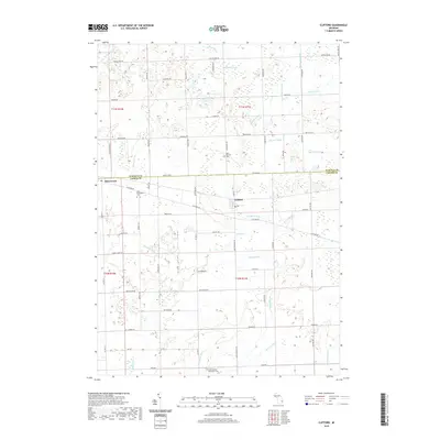
(20)- 2011 Map of Clifford, 2011 Print
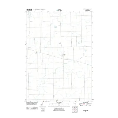 2011 Clifford2011 Print · USGSCovers Rich Township, including Clifford, Dayton Township, and other nearby areas
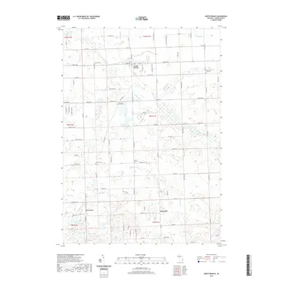
 - 2011 Map of North Branch, 2011 Print
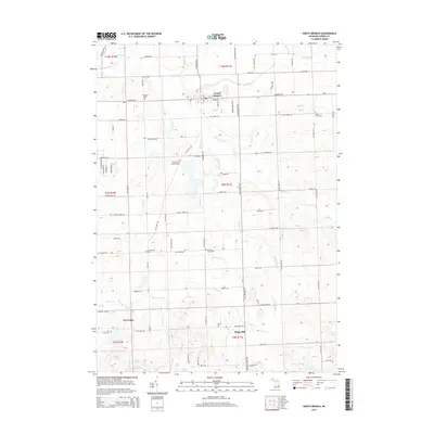
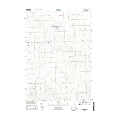
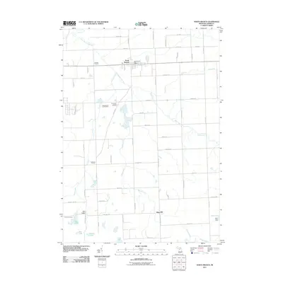 2011 North Branch2011 Print · USGSCovers Rich Township, including North Branch, Arcadia Township, and other nearby areas
 - 2011 Map of Barnes Lake, 2011 Print
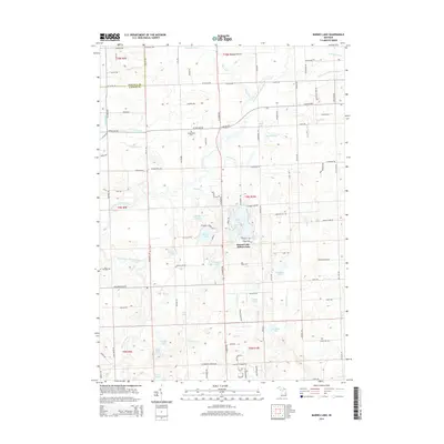
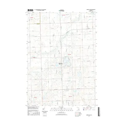
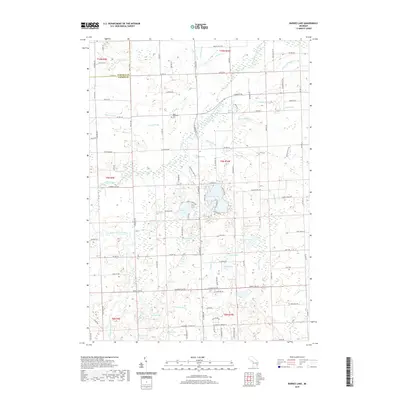
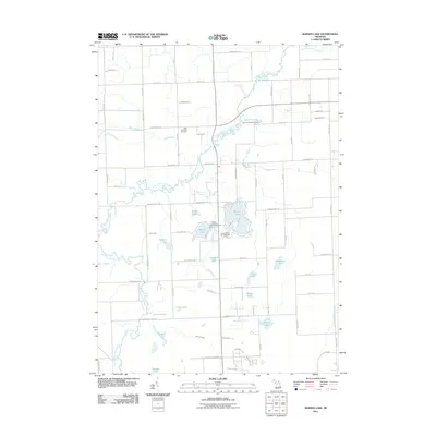 2011 Barnes Lake2011 Print · USGSCovers Rich Township, including Oregon Township, Watertown Township, and other nearby areas
 - 2011 Map of Mayville, 2011 Print
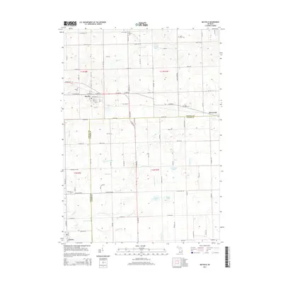
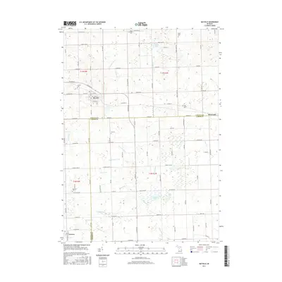
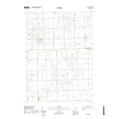
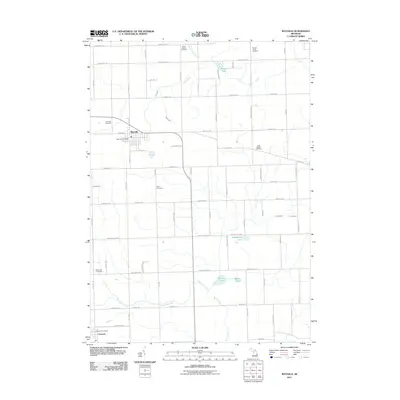 2011 Mayville2011 Print · USGSCovers Rich Township, including Mayville, Fostoria, and other nearby areas
 - 2014 Map of Barnes Lake, 2014 Print
 2014 Barnes Lake2014 Print · USGSCovers Rich Township, including Oregon Township, Watertown Township, and other nearby areas
 - 2014 Map of North Branch, 2014 Print
 2014 North Branch2014 Print · USGSCovers Rich Township, including North Branch, Arcadia Township, and other nearby areas
 - 2014 Map of Clifford, 2014 Print
 2014 Clifford2014 Print · USGSCovers Rich Township, including Clifford, Dayton Township, and other nearby areas
 - 2014 Map of Mayville, 2014 Print
 2014 Mayville2014 Print · USGSCovers Rich Township, including Mayville, Fostoria, and other nearby areas
 - 2017 Map of Barnes Lake, 2017 Print
 2017 Barnes Lake2017 Print · USGSCovers Rich Township, including Oregon Township, Watertown Township, and other nearby areas
 - 2017 Map of North Branch, 2017 Print
 2017 North Branch2017 Print · USGSCovers Rich Township, including North Branch, Arcadia Township, and other nearby areas
 - 2017 Map of Clifford, 2017 Print
 2017 Clifford2017 Print · USGSCovers Rich Township, including Clifford, Dayton Township, and other nearby areas
 - 2017 Map of Mayville, 2017 Print
 2017 Mayville2017 Print · USGSCovers Rich Township, including Mayville, Fostoria, and other nearby areas
 - 2019 Map of Barnes Lake, 2019 Print
 2019 Barnes Lake2019 Print · USGSCovers Rich Township, including Oregon Township, Watertown Township, and other nearby areas
 - 2019 Map of Clifford, 2019 Print
 2019 Clifford2019 Print · USGSCovers Rich Township, including Clifford, Dayton Township, and other nearby areas
 - 2019 Map of North Branch, 2019 Print
 2019 North Branch2019 Print · USGSCovers Rich Township, including North Branch, Arcadia Township, and other nearby areas
 - 2019 Map of Mayville, 2019 Print
 2019 Mayville2019 Print · USGSCovers Rich Township, including Mayville, Fostoria, and other nearby areas
 - 2023 Map of Barnes Lake, 2023 Print
 2023 Barnes Lake2023 Print · USGSLapeer County lake country is shown in detail during the early 2020s, centered on the river-fed basins of the Flint River system. Researchers can trace family sites near Fostoria, find West Deerfield Cem, or map the shorelines of Millers Lake and Barnes Lake.
 - 2023 Map of Clifford, 2023 Print
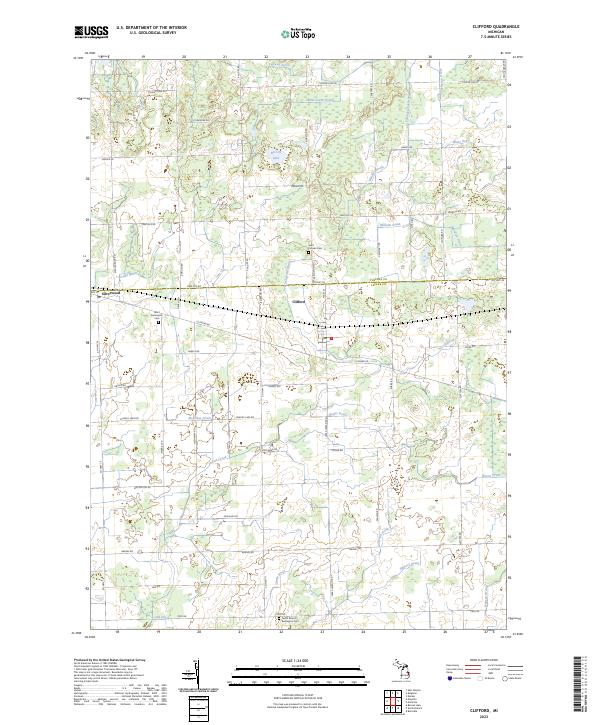 2023 Clifford2023 Print · USGSThe border of Tuscola and Lapeer counties is captured here in the early 2020s, showing a landscape of precise township grids and managed waterways. Researchers can locate family heritage sites like Saint Patricks Cem or trace the course of Indian Creek and Becroft Lake.
 - 2023 Map of Mayville, 2023 Print
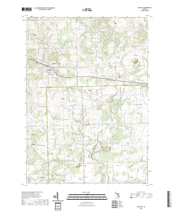 2023 Mayville2023 Print · USGSAgricultural life in Tuscola and Lapeer counties remains centered on the village of Mayville and its surrounding rural townships. Genealogists can trace family roots through several local burial sites including Rich Cem and Saint Agatha Cem.
 - 2023 Map of North Branch, 2023 Print
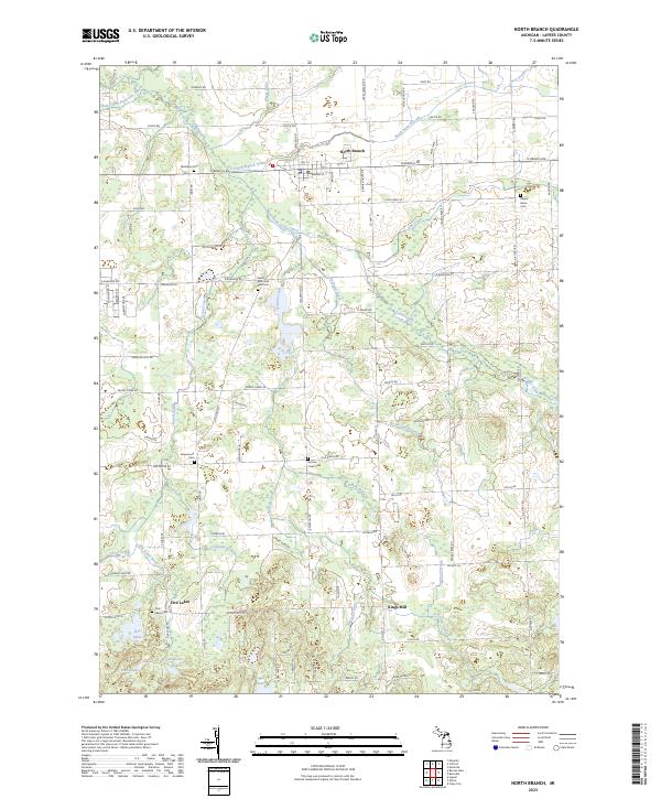 2023 North Branch2023 Print · USGSLapeer County's rural townships are documented here during the early 2020s, showing a landscape defined by small villages and extensive field drainage. Researchers can trace local history through Westlawn Cem and the former mill site at Kings Mill.
End of results
Showing maps 1-20 of 20
Top cities near Rich Township
- Lapeer historical maps
- Caro historical maps
- Burnside historical maps
- Marlette historical maps
- Dayton historical maps
- Goodland historical maps
See more
Top neighborhoods of Rich Township
Frequently asked questions
- What are the different types of historical maps available for Rich Township?
- What is the oldest map of Rich Township?
- Where can I purchase historical maps of Rich Township for my home or office?
- Where can I download high-res historical maps of Rich Township?
- Are there historical topographic maps available for Rich Township?
- Is there historical aerial imagery available for Rich Township?
- Where are historical maps of Rich Township sourced from?