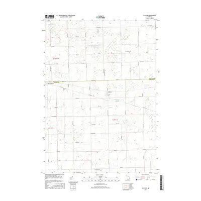
2017 Map of Clifford
USGS Topo · Published 2017About this map
Clifford sits at the intersection of agricultural transport routes on the boundary between Tuscola and Lapeer Counties. This region is defined by a dense network of engineered waterways, including McKillop Drain, Slattery Drain, and Galbraith Drain, which channel water through the township to support the surrounding farmland. To the west, the settlement of Silverwood marks the edge of this rural landscape, while the northern sections are dotted with natural features like Shay Lake and Becraft Lake. For genealogists and local historians, several burial grounds are preserved across the quadrangle, notably Saint Patricks Cem, West Burlington Cem, and North Branch-Burlington Cem. The terrain is crisscrossed by established roads such as Mayville Rd and Marlette Rd, reflecting the grid-based development typical of Michigan's Thumb region.
Find a feature on this map
45 named features on this map. Tap any name to fly to it.
Don’t see what you’re looking for? This feature index may not catch every label — zoom into the map to look around manually.
Map Details
Editions of this 2017 Clifford Map
This is the sole edition of this map. No revisions or reprints were ever made.
Other maps of this area

1954 · Flint
USGS Topo · 1:250,000

1958 · Flint
USGS Topo · 1:250,000

1963 · Clifford
USGS Topo · 1:24,000

1963 · East Dayton
USGS Topo · 1:24,000

1963 · Mayville
USGS Topo · 1:24,000

1963 · Marlette
USGS Topo · 1:24,000

1963 · North Branch
USGS Topo · 1:24,000

1963 · Kingston
USGS Topo · 1:24,000

1963 · Burnside
USGS Topo · 1:24,000
1963 · Decker
USGS Topo · 1:24,000