
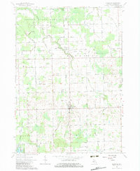
1963 Map of Kingston
USGS Topo · Published 1964About this map
Kingston and Wilmot serve as the primary hubs in this agricultural and conservation-heavy landscape of Tuscola County. The northern portion is dominated by the Deford State Game Area, where several drainage systems like Morse Drain and Evans Drain feed into the regional watershed. Evidence of earlier transportation networks is preserved in the Old Railroad Grade running through the center of the sheet near St Michaels Ch. Local education and community life are marked by the Wilmot Sch and Beverly Sch, while the southern reaches near Harmon Lake and Shay Lake transition into a landscape dotted with numerous Gravel Pits. The map documents a classic Michigan thumb-region township structure, defined by a rigid grid of roads such as Bevens Road and Kingston Road that intersect a complex system of named agricultural drains.
Find a feature on this map
72 named features on this map. Tap any name to fly to it.
Don’t see what you’re looking for? This feature index may not catch every label — zoom into the map to look around manually.
Map Details
Editions of this 1963 Kingston Map
2 editions found
Other maps of this area

1954 · Flint
USGS Topo · 1:250,000

1958 · Flint
USGS Topo · 1:250,000

1963 · Clifford
USGS Topo · 1:24,000

1963 · East Dayton
USGS Topo · 1:24,000

1963 · Mayville
USGS Topo · 1:24,000

1963 · Marlette
USGS Topo · 1:24,000

1963 · Cass City
USGS Topo · 1:24,000

1963 · Ellington
USGS Topo · 1:24,000

1963 · Shabbona
USGS Topo · 1:24,000
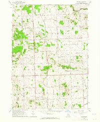
1963 · Decker
USGS Topo · 1:24,000