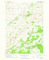
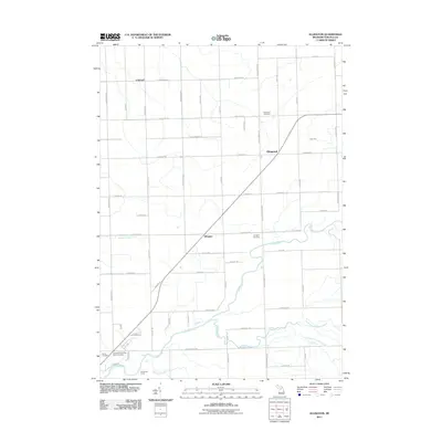
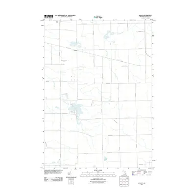
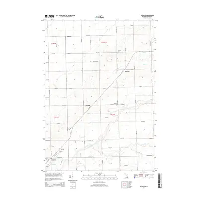
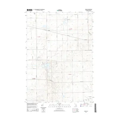
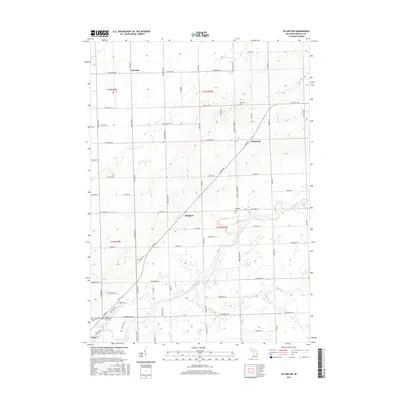
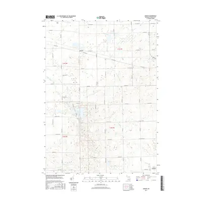
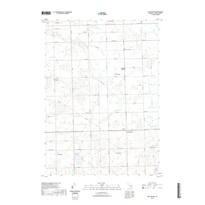
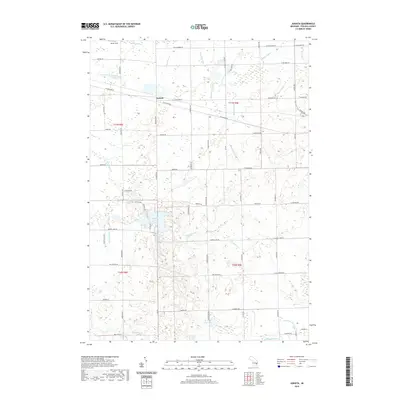
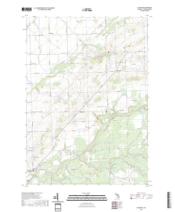
1963 Map of Ellington
USGS Topo · Published 1964About this map
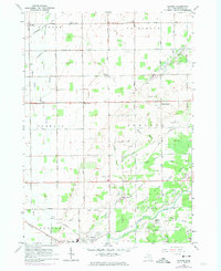
Ellington and its surrounding townships in Tuscola County are defined by a complex network of agricultural drainage and the winding path of the East Branch Cass River. In the early 1960s, the landscape was a mix of small rural centers like Colwood and Elmwood and expansive wooded sections, most notably within the State Game Area in the south. The prevalence of named drains, such as the Haidyjz McNeil Drain and Honey Marsh Drain, illustrates the intensive effort required to manage the low-lying terrain for farming. Rural life remains anchored by local institutions, including the Colwood Ch and several country schools like Humes Sch. A dedicated Radio Tower near the center of the township and scattered Gravel Pits point to the local infrastructure and industry supporting this Michigan community during the mid-century.
Find a feature on this map
65 named features on this map. Tap any name to fly to it.
Don’t see what you’re looking for? This feature index may not catch every label — zoom into the map to look around manually.
Map Details
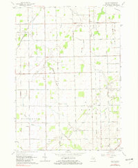
Editions of this 1963 Ellington Map
This is the sole edition of this map. No revisions or reprints were ever made.
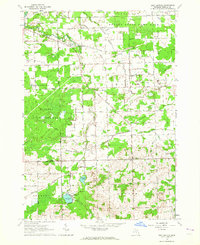
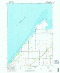
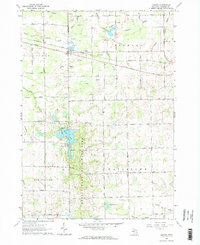
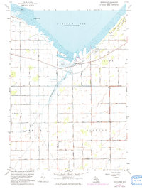
Historical Maps of Caro Through Time
47 maps found
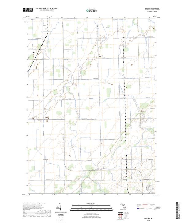
1963 Colling
Tuscola County, MI
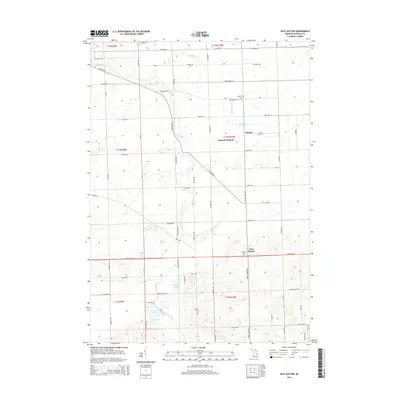
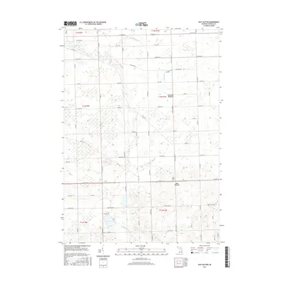
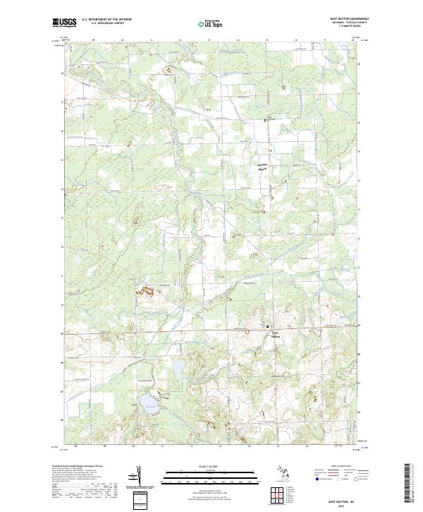
1963 East Dayton
Tuscola County, MI
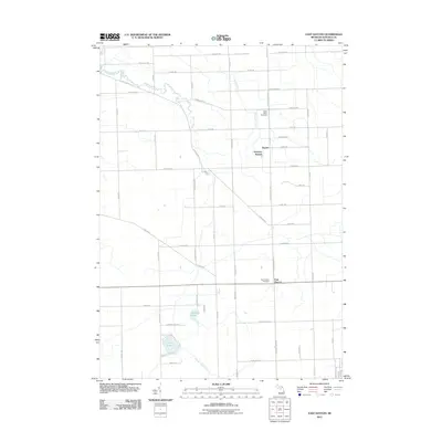
1963 Ellington
Tuscola County, MI
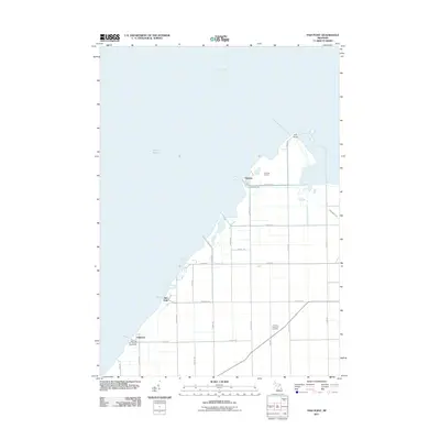
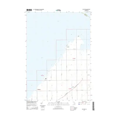
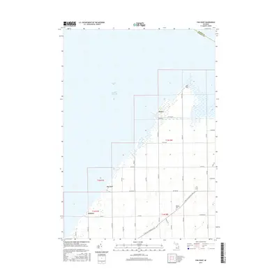
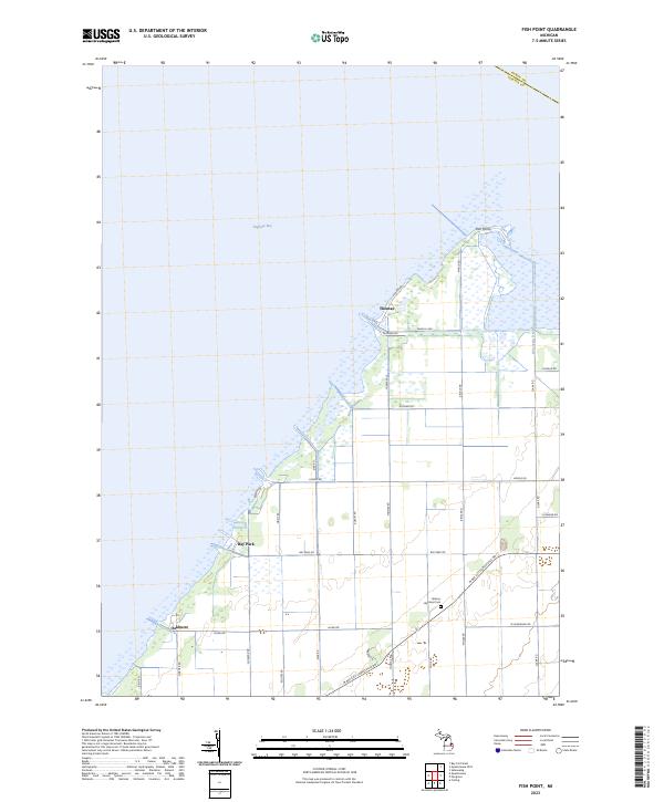
1963 Fish Point
Tuscola County, MI
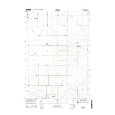
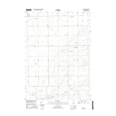
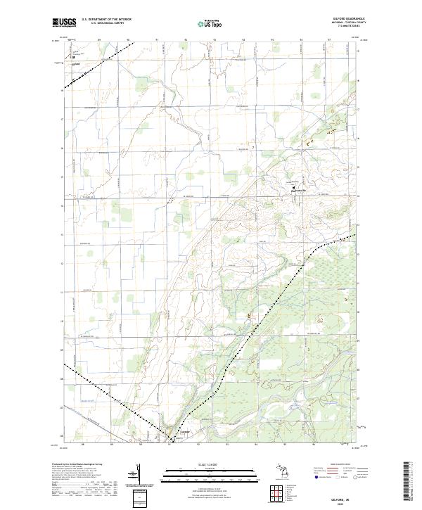
1963 Gilford
Tuscola County, MI
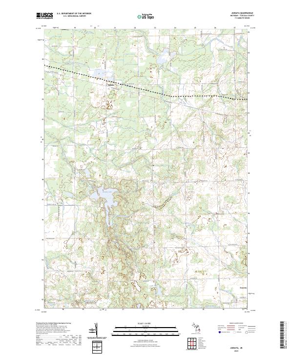
1963 Juniata
Tuscola County, MI
1963 Quanicassee
Tuscola County, MI
2011 Colling
Tuscola County, MI
2011 East Dayton
Tuscola County, MI
2011 Ellington
Tuscola County, MI
2011 Fish Point
Tuscola County, MI
2011 Gilford
Tuscola County, MI
2011 Juniata
Tuscola County, MI
2011 Quanicassee OE N
Tuscola County, MI
2011 Quanicassee
Tuscola County, MI
2014 Colling
Tuscola County, MI
2014 East Dayton
Tuscola County, MI
2014 Ellington
Tuscola County, MI
2014 Fish Point
Tuscola County, MI
2014 Gilford
Tuscola County, MI
2014 Juniata
Tuscola County, MI
2014 Quanicassee OE N
Tuscola County, MI
2014 Quanicassee
Tuscola County, MI
2017 Colling
Tuscola County, MI
2017 East Dayton
Tuscola County, MI
2017 Ellington
Tuscola County, MI
2017 Fish Point
Tuscola County, MI
2017 Gilford
Tuscola County, MI
2017 Juniata
Tuscola County, MI
2017 Quanicassee OE N
Tuscola County, MI
2017 Quanicassee
Tuscola County, MI
2019 Colling
Tuscola County, MI
2019 East Dayton
Tuscola County, MI
2019 Ellington
Tuscola County, MI
2019 Fish Point
Tuscola County, MI
2019 Gilford
Tuscola County, MI
2019 Juniata
Tuscola County, MI
2019 Quanicassee OE N
Tuscola County, MI
2019 Quanicassee
Tuscola County, MI
2023 Colling
Tuscola County, MI
2023 East Dayton
Tuscola County, MI
2023 Ellington
Tuscola County, MI
2023 Fish Point
Tuscola County, MI
2023 Gilford
Tuscola County, MI
2023 Juniata
Tuscola County, MI
2023 Quanicassee OE N
Tuscola County, MI
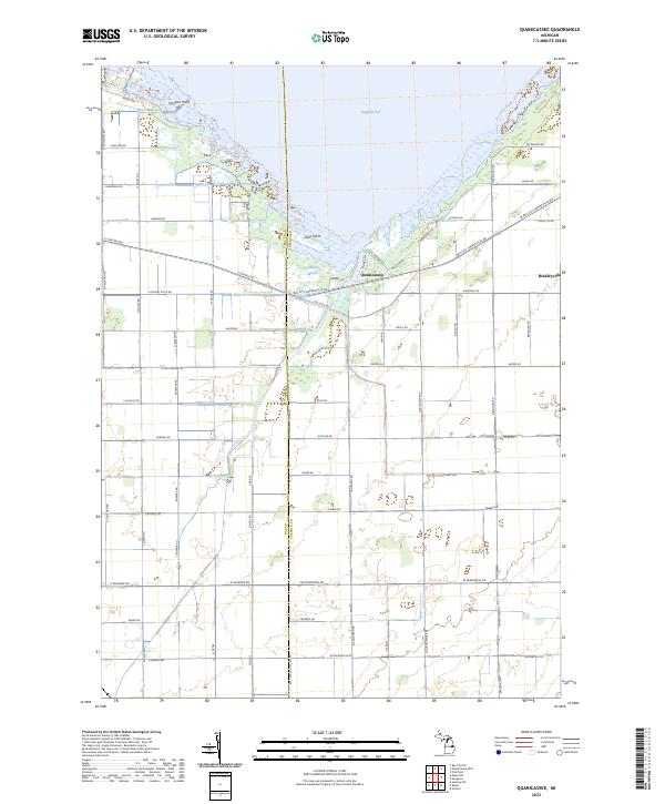
2023 Quanicassee
Tuscola County, MI
Featured Locations
- Caro, MI
- Ellington Township, MI
- Elmwood Township, MI
- Ellington, Ellington Township
- Elmwood, Elmwood Township