
1963 Map of Caro
USGS Topo · Published 1964About this map
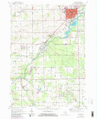
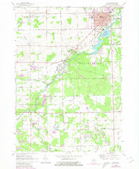
Caro serves as the focal point of this Tuscola County landscape, where the Cass River winds through a patchwork of agricultural drainage and state-managed lands. The area is defined by its institutional and public footprints, most notably the expansive Caro State Hospital and the nearby settlement of Wahjamega. The rail-era infrastructure of the New York Central railroad cuts diagonally across the terrain, linking the village's Fairground and residential grid to the wider region. Outside the village center, the landscape is heavily influenced by water management, with numerous named conduits like Schoener Drain and Chambers Drain supporting the surrounding farms. Notable local landmarks including Indianfields Park and the Tuscola State Game Area reflect the mid-century transition toward conservation and recreation alongside established rural homesteads and schools like North Grove Sch.
Find a feature on this map
72 named features on this map. Tap any name to fly to it.
Don’t see what you’re looking for? This feature index may not catch every label — zoom into the map to look around manually.
Map Details
Editions of this 1963 Caro Map
3 editions found
Other maps of this area

1954 · Flint
USGS Topo · 1:250,000

1958 · Flint
USGS Topo · 1:250,000

1963 · East Dayton
USGS Topo · 1:24,000

1963 · Mayville
USGS Topo · 1:24,000

1963 · Fairgrove
USGS Topo · 1:24,000

1963 · Ellington
USGS Topo · 1:24,000

1963 · Gilford
USGS Topo · 1:24,000

1963 · Vassar
USGS Topo · 1:24,000

1963 · Juniata
USGS Topo · 1:24,000

1963 · Colling
USGS Topo · 1:24,000