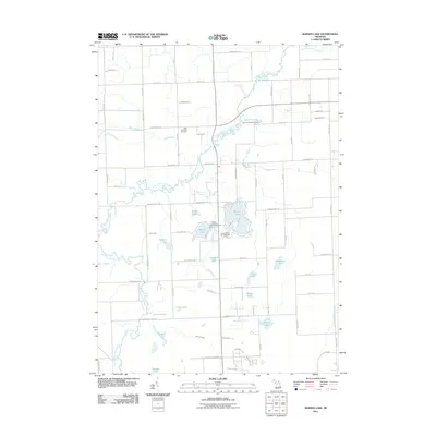
2011 Map of Barnes Lake
USGS Topo · Published 2011About this map
Barnes Lake and the meandering North Branch Flint River anchor this landscape in Lapeer County, Michigan. This region is characterized by a dense concentration of small water bodies and glacial drainage features, including Millers Lake, Trune Lake, and Littlefield Lake. The river system is a defining element, with the South Branch Flint River joining the hydraulic network amidst a grid of rural roads like Fostoria RD and Burnside RD.
Find a feature on this map
86 named features on this map. Tap any name to fly to it.
Don’t see what you’re looking for? This feature index may not catch every label — zoom into the map to look around manually.
Map Details
Editions of this 2011 Barnes Lake Map
This is the sole edition of this map. No revisions or reprints were ever made.
Other maps of this area

1954 · Flint
USGS Topo · 1:250,000

1958 · Flint
USGS Topo · 1:250,000

1963 · Clifford
USGS Topo · 1:24,000

1963 · Attica
USGS Topo · 1:24,000

1963 · Mayville
USGS Topo · 1:24,000

1963 · North Branch
USGS Topo · 1:24,000

1963 · Columbiaville
USGS Topo · 1:24,000

1963 · Elba
USGS Topo · 1:24,000

1963 · Juniata
USGS Topo · 1:24,000
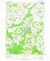
1963 · Barnes Lake
USGS Topo · 1:24,000
Featured Places
- Rich Township, MI
- Oregon Township, MI
- Watertown Township, MI
- Marathon Township, MI
- Mayfield Township, MI