Old Maps of Howell Township, Michigan for Academic Research
Study the evolution of Howell Township with 36 high-resolution historic maps. Whether you're teaching, researching, or modeling changes in land use, these maps provide essential visual documentation of urban, environmental, and geographic change.
- Analyze long-term change: Track patterns in development, transportation, and natural features.
- Ideal for environmental or urban studies: Support academic projects with primary historical map data.
- Use in the classroom or lab: Educators and researchers rely on these maps to bring historical context to life.
These maps are a powerful tool for teaching, research, and visualizing how Howell Township has changed over the decades.
Howell Township, MI maps
(36)- 1907 Map of Howell, 1959 Print
 1907 Howell1959 Print · USGSLivingston County is mapped here in the early twentieth century as a busy rail and agricultural center. Researchers can trace the legacy of rural education and industry through dozens of local sites like Jubb School, Parker Church, and the State Sanitarium.2 unique versions available
 - 1908 Map of Fowlerville, 1962 Print
 1908 Fowlerville1962 Print · USGSAgricultural life in Livingston and Ingham counties is documented here in the early twentieth century, centered on the Pere Marquette RR. Trace family roots through an extensive network of rural schools like Podunk School and small crossroads such as Belle Oak and Vantown.2 unique versions available
 - 1909 Map of Howell
 1909 Howell1909 Print · USGSLivingston County's landscape at the dawn of the century was defined by the crossing of major rail lines and the historic Grand River Road. Genealogists and local historians can trace the early sites of Oak Grove, Parshallyville, and the State Sanitarium.2 unique versions available
 - 1910 Map of Fowlerville
 1910 Fowlerville1910 Print · USGSBefore the age of consolidated schools and modern highways, this 1910 survey shows the rural landscape of Ingham and Livingston counties at its peak. Researchers can trace dozens of country schoolhouses like Podunk School and Hogback School alongside the path of the Pere Marquette RR.2 unique versions available
 - 1954 Map of Detroit
 1954 Detroit1954 Print · USGSThe Detroit metro and its Ontario neighbors are shown at the height of the mid-century industrial era, just as the suburbs were rapidly expanding. Researchers can trace the massive rail networks of the Wabash Railroad or locate landmarks like Grosse Ile and Selfridge Air Force Base.
 - 1958 Map of Grand Rapids, 1973 Print
 1958 Grand Rapids1973 Print · USGSSouthern Michigan at the peak of the postwar era shows a landscape of burgeoning cities and new interstate highways. Trace family roots and regional growth in Grand Rapids, Battle Creek, and the glacial lake country around Gun Lake or Gull Lake.2 unique versions available
 - 1961 Map of Grand Rapids
 1961 Grand Rapids1961 Print · USGSSouthern Michigan at the dawn of the 1960s reveals a region shaped by major river systems and a robust rail network. Trace mid-century industrial growth and land use from Grand Rapids to the Fort Custer Military Reservation and Gun Lake.
 - 1961 Map of Detroit, 1973 Print
 1961 Detroit1973 Print · USGSThe international border between Michigan and Ontario was a bustling industrial corridor in the early sixties. Researchers can trace the transit networks and riverfront infrastructure connecting Detroit to Windsor via the Detroit-Windsor Tunnel and major air hubs like Willow Run Airport.2 unique versions available
 - 1962 Map of Grand Rapids
 1962 Grand Rapids1962 Print · USGSMid-century Southern Michigan is mapped here at a time of massive growth, showing the expanding urban footprints of Grand Rapids and Lansing. Researchers can trace the legacy of the Grand Trunk Western RR, find historic boundaries of the Fort Custer Military Reservation, or locate sporting camps around Gun Lake.2 unique versions available
 - 1965 Map of Detroit
 1965 Detroit1965 Print · USGSThe industrial corridor between Michigan and Ontario is captured here at mid-century, showing the dense rail and river networks of the Great Lakes. Local historians can trace the paths of the Grand Trunk Western RR and locate key landmarks like Selfridge Air Force Base and Grosse Ile.
 - 1968 Map of Howell, 1970 Print
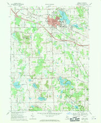 1968 Howell1970 Print · USGSHowell and its surrounding townships show a mix of civic growth and preserved wetlands during the late sixties. Researchers can trace historic family plots at Lakeview Cem and Mount Olivet Cem or locate institutional landmarks like the Howell State Hospital.3 unique versions available
 - 1968 Map of Oak Grove, 1971 Print
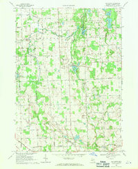 1968 Oak Grove1971 Print · USGSLivingston County's rural heartland is captured here in the late sixties as the C & O rail line still serves the village of Oak Grove. Genealogists can locate family landmarks like Sanford Cem, Cohoctah Ch, and the Livingston County Airport.2 unique versions available
 - 1973 Map of Parkers Corners, 1977 Print
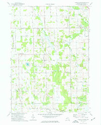 1973 Parkers Corners1977 Print · USGSLivingston County maintains its quiet agricultural character in the 1970s, as the headwaters of the Red Cedar River wind through rural townships. Researchers can trace family history through numerous landmark burial grounds like Munsell Cem and Harford Cem or locate the small community of Lamoreaux.
 - 1973 Map of Fowlerville, 1977 Print
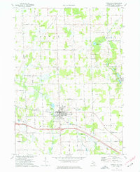 1973 Fowlerville1977 Print · USGSFowlerville and the surrounding Livingston County townships are captured here in the early 1970s, showcasing a rural landscape defined by family farms and rail transport. Researchers can trace the Chesapeake and Ohio line, locate family plots in Conway Cem, or find the Free Methodist Ch.
 - 1983 Map of Lansing, 1984 Print
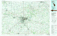 1983 Lansing1984 Print · USGSThe Lansing area and its surrounding river valleys are captured here in the early eighties. Genealogists and historians can trace the rail corridors of the Conrail or locate local landmarks like St Johns Ch and Greenwood Cem.
 - 1985 Map of Pontiac
 1985 Pontiac1985 Print · USGSSoutheast Michigan in the mid-1980s shows a landscape of growing suburban corridors and expansive public parklands. Genealogists and local historians can trace the footprint of rail lines like the Grand Trunk Western or locate family sites near Oakwood Cem and White Chapel Cem.2 unique versions available
 - 2011 Map of Parkers Corners, 2011 Print
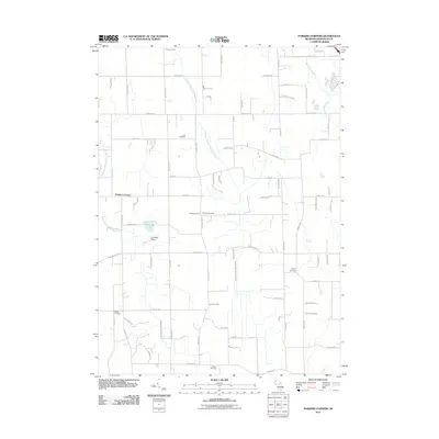 2011 Parkers Corners2011 Print · USGSLivingston County's rural character is on full display in this early twenty-first century survey of the Parkers Corners area. Researchers can trace local lineage across numerous burial sites like Munsell Cemetery and Wright Cemetery or locate the L D Ranch Airport.
 - 2011 Map of Fowlerville, 2011 Print
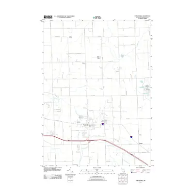 2011 Fowlerville2011 Print · USGSHandy Township and Fowlerville are captured at the start of the decade, showing a landscape defined by its river forks and deep-rooted cemeteries. Researchers can trace family history at Conway Cemetery, Benjamin Cemetery, or the Fowlerville Fairgrounds.
 - 2011 Map of Howell, 2011 Print
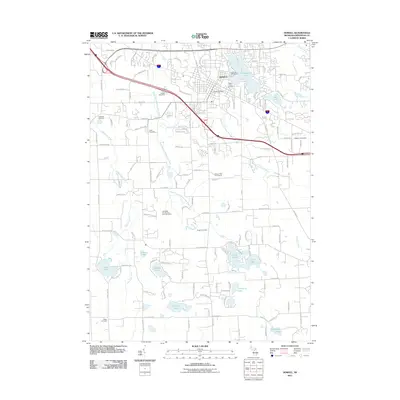 2011 Howell2011 Print · USGSHowell and the surrounding Livingston County landscape are shown here in the early twenty-first century as a mix of growing residential areas and historic burial grounds. Genealogists can trace family names at Livingston County Poor Farm Cemetery, Harger Cemetery, and Gilkes Cemetery.
 - 2011 Map of Oak Grove, 2011 Print
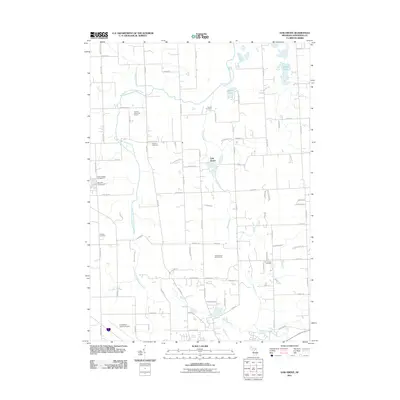 2011 Oak Grove2011 Print · USGSOceola Township in the early twenty-first century shows a blend of rural heritage and modern infrastructure. Researchers can locate several historical burial sites like Van Keuren Cemetery and Sanford Cemetery while tracing the South Branch Shiawassee River.
 - 2014 Map of Howell, 2014 Print
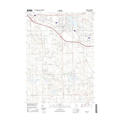 2014 Howell2014 Print · USGSHowell and its surrounding lake country are captured in this mid-2010s survey as the area balances its rural roots with suburban growth. Genealogists can locate several historic burial grounds, including Livingston County Poor Farm Cem, Lakeview Cem, and Harger Cem.
 - 2014 Map of Fowlerville, 2014 Print
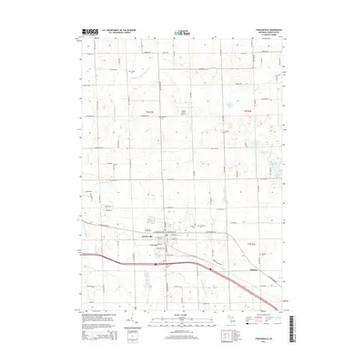 2014 Fowlerville2014 Print · USGSLivingston County's agricultural and village life comes into focus in this detailed look at Fowlerville and its surrounding townships. Family historians can trace local roots through numerous sites like Mt Olivet Cem, Greenwood Cem, and the Fowlerville Fairgrounds.
 - 2014 Map of Oak Grove, 2014 Print
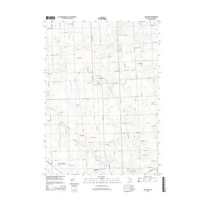 2014 Oak Grove2014 Print · USGSLivingston County's rural landscape is captured here in the mid-2010s as it balances agricultural roots with modern development. Local historians can trace family land and old burial grounds like Boutel Cem and Sanford Cem, or locate the Oak Grove Station along the river.
 - 2014 Map of Parkers Corners, 2014 Print
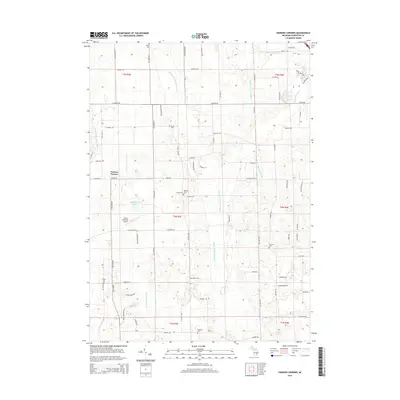 2014 Parkers Corners2014 Print · USGSLivingston County's agricultural heartland is documented here in the early twenty-first century, showing the rural character of Marion Township. Researchers can trace family history through numerous burial sites like Loree Cem or follow the Middle Br Red Cedar River past Parkers Corners.
 - 2017 Map of Oak Grove, 2017 Print
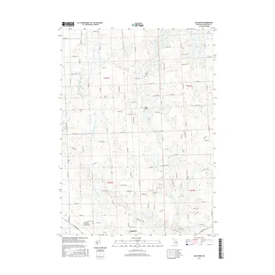 2017 Oak Grove2017 Print · USGSLivingston County’s rural interior is documented here in the late 2010s, where the South Branch Shiawassee River winds past Oak Grove. Genealogists can trace local legacies through multiple historic burial sites, including Boutel Cem and the Van Keuren Cem.
Showing maps 1-25 of 36
Top cities near Howell Township
- Hamburg Township historical maps
- Genoa Charter Township historical maps
- Green Oak Charter Township historical maps
- Brighton Charter Township historical maps
- Hartland Township historical maps
- Fenton historical maps
See more
Top neighborhoods of Howell Township
Frequently asked questions
- What are the different types of historical maps available for Howell Township?
- What is the oldest map of Howell Township?
- Where can I purchase historical maps of Howell Township for my home or office?
- Where can I download high-res historical maps of Howell Township?
- Are there historical topographic maps available for Howell Township?
- Is there historical aerial imagery available for Howell Township?
- Where are historical maps of Howell Township sourced from?