Old Maps of Garfield Township, Michigan for Hiking & Exploration
Hike through history with 45 historic maps of Garfield Township. Explore old trails, ghost towns, and forgotten backroads — perfect for outdoor adventurers and local explorers.
- Rediscover forgotten places: Map out old mining camps, roads, and footpaths that no longer exist on modern maps.
- Layer with modern tools: Combine with LiDAR or satellite views to plan hikes through historical terrain.
- Made for exploration: Popular among hikers, overlanders, and local history lovers.
Use these maps to find adventure and explore the hidden past of Garfield Township.
Garfield Township, MI maps
(45)- 1931 Map of Gould City NE
 1931 Gould City NE1931 Print · USGSMackinac County's Upper Peninsula landscape in the early thirties shows a network of rural schoolhouses and emerging lakeside recreation. Genealogists and historians can locate family-named landmarks like Elsner Sch or the Millecoquins Lake Resort near the Greylock Spur.
 - 1931 Map of Gould City SE
 1931 Gould City SE1931 Print · USGSMackinac County's northern Lake Michigan shoreline is documented here in the early thirties as the railroad age still shaped the Upper Peninsula. Genealogists and researchers can trace the rail corridor through Engadine and locate family landmarks near Mill Pond and the Millecoquins River.
 - 1931 Map of Gilchrist NE
 1931 Gilchrist NE1931 Print · USGSMackinac County's timber and rail landscape is frozen in time during the early 1930s, centered on the settlement of Garnet. Genealogists and local historians can trace the foundations of the community at Maplewood Cem and the industrial footprint of the Hendricks Quarry.2 unique versions available
 - 1931 Map of Gilchrist NW
 1931 Gilchrist NW1931 Print · USGSMackinac County's timber and transit corridor is captured here in the early 1930s as aerial photography began to refine the mapping of the Upper Peninsula. Trace the iron and asphalt routes of the Minneapolis St Paul and Sault Ste Marie near GILCHRIST and the winding course of North Branch Cold Creek.2 unique versions available
 - 1954 Map of Sault Sainte Marie, 1979 Print
 1954 Sault Sainte Marie1979 Print · USGSThe Eastern Upper Peninsula and Ontario borderlands are captured here at the height of the mid-century era. Family historians can trace settlements like Grand Marais and Stalwart, while mapping the strategic grounds of Kincheloe AFB.3 unique versions available
 - 1956 Map of Sault Sainte Marie, 1964 Print
 1956 Sault Sainte Marie1964 Print · USGSThe Eastern Upper Peninsula and the Canadian border meet in this mid-sixties survey of the bustling Soo Locks region. Genealogists and historians can trace the paths of the Soo Line and locate lakeside communities from Grand Marais to Shelldrake.2 unique versions available
 - 1957 Map of Sault Sainte Marie
 1957 Sault Sainte Marie1957 Print · USGSThe Upper Peninsula and Ontario border come alive in this mid-century portrait of the eastern Lake Superior shoreline and the vital St. Marys River corridor. Genealogists and historians can trace rail-era settlements from Newberry to Detour, while locating military landmarks like Kinross Air Force Base.
 - 1958 Map of Sault Sainte Marie
 1958 Sault Sainte Marie1958 Print · USGSThe eastern Upper Peninsula and the Canadian borderland appear here during the late fifties, a time of military growth and forest management. Researchers can locate vanished rail stops along the Soo Line, early sites like the Fiborn Quarry, and the sprawling Kinross Air Force Base.
 - 1973 Map of Hog Island Point, 1977 Print
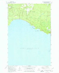 1973 Hog Island Point1977 Print · USGSMackinac County’s northern Lake Michigan shoreline was a landscape of dense state forests and historic trails in the early seventies. Genealogists and historians can trace the paths of Old Stage Road, locate the Hog Island Campground, and study the drainage of Borgstrom Creek.
 - 1973 Map of Gilchrist, 1977 Print
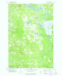 1973 Gilchrist1977 Print · USGSMackinac County forestry and rail operations define this landscape in the early seventies, centered on the settlement of Gilchrist. Trace old logging infrastructure through the Old RR Grade and find water features like the Cranberry Lake Bog and Lucky Lake.
 - 1973 Map of Millecoquins, 1977 Print
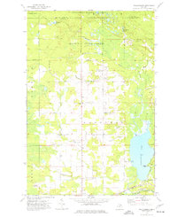 1973 Millecoquins1977 Print · USGSMackinac County's forested lake country is documented here during the early seventies, showing the intersection of timber management and rural settlement. Researchers can locate the Bethlehem Ch, the Soo Line tracks, and family-named landmarks like McAlpine Pond and Kelvey.
 - 1973 Map of Garnet, 1977 Print
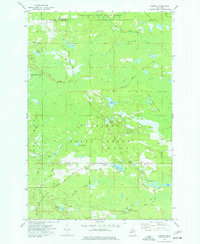 1973 Garnet1977 Print · USGSMackinac County's timber and rail history is preserved in this mid-century survey of the Mackinac State Forest and the village of Garnet. Researchers can trace old transportation corridors like the Old RR Grade and find local landmarks such as Maplewood Cem and the Garnet Lake Campground.
 - 1973 Map of Naubinway, 1977 Print
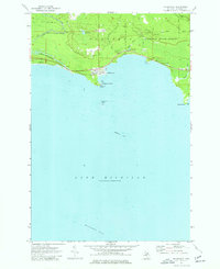 1973 Naubinway1977 Print · USGSCoastal Mackinac County is captured here in the 1970s, showcasing the village of Naubinway and its surrounding timberlands. Researchers can locate the Naubinway Cem and trace the timber-era Grade and Lower Millecoquins River.
 - 1973 Map of Engadine, 1977 Print
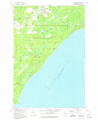 1973 Engadine1977 Print · USGSUpper Peninsula timber and rail life meet the Lake Michigan shore in the 1970s. Local researchers can trace the Soo Line through Engadine, locate the Cem north of town, or explore the coastal reach from Big Knob to Fox Point.
 - 1985 Map of Manistique Lake
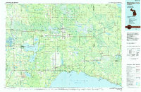 1985 Manistique Lake1985 Print · USGSThe eastern Upper Peninsula’s wilderness and rail-side villages are captured here in the mid-1980s, from the Soo Line corridor to the Lake Michigan shore. Genealogists and historians can trace the foundations of local life in Newberry, Engadine, and Seney, alongside industrial landmarks like the Calspar Quarry Pool.2 unique versions available
 - 2011 Map of Hog Island Point, 2011 Print
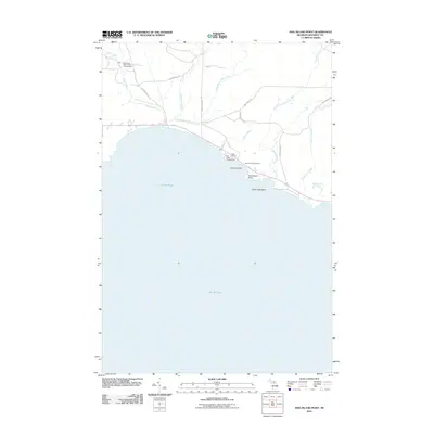 2011 Hog Island Point2011 Print · USGSMackinac County's northern Lake Michigan shoreline is documented here just after the turn of the millennium. Outdoor enthusiasts and local historians can trace the paths of Old Stage Trl and Flowing Well Rd or locate the Harts RV Park and Garlyn Zoological Park.
 - 2011 Map of Engadine, 2011 Print
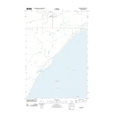 2011 Engadine2011 Print · USGSThe northern coast of Lake Michigan comes into focus in this early twenty-first-century survey of Mackinac County. Genealogists and local historians can trace the roads around Engadine, locate the Engadine Cemetery, or explore the shoreline at Fox Point.
 - 2011 Map of Naubinway, 2011 Print
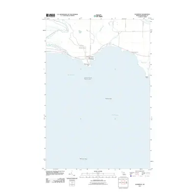 2011 Naubinway2011 Print · USGSThe northern coast of Lake Michigan comes into focus in this early twenty-first-century survey of Mackinac County. Researchers can locate the Naubinway Post Office and Naubinway Cemetery, or trace the winding path of the Lower Millecoquins River toward the shore.
 - 2011 Map of Millecoquins, 2011 Print
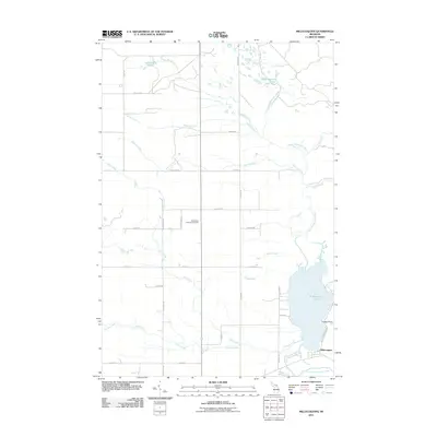 2011 Millecoquins2011 Print · USGSThe Upper Peninsula near the turn of the decade is defined by its deep woods and the winding Upper Millecoquins River. Genealogists and historians can locate the Bethlehem Lutheran Cemetery and trace the shores of Millecoquins Lake.
 - 2011 Map of Gilchrist, 2011 Print
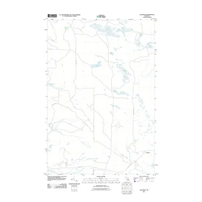 2011 Gilchrist2011 Print · USGSMackinac County's wooded interior is captured here in the early twenty-first century, centered on the small settlement of Gilchrist. Genealogists and outdoor historians can trace old logging routes like Finn Farm Rd and locate remote waters like Lake Louise or Nelson Lake.
 - 2011 Map of Garnet, 2011 Print
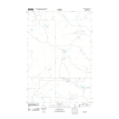 2011 Garnet2011 Print · USGSGarfield Township in the Upper Peninsula is shown here during the early twenty-first century as a quiet landscape of forest and water. Researchers can locate the Garnet settlement and trace family names at Maplewood Cemetery or explore the shores of Big Dollar Lake and Garnet Lake.
 - 2014 Map of Naubinway, 2014 Print
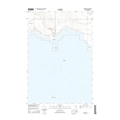 2014 Naubinway2014 Print · USGSThe northernmost point of Lake Michigan is captured here in the early twenty-first century, centered on the harbor community of Naubinway. Genealogists and local historians can trace the town layout near the Naubinway Cem or locate coastal landmarks like Millecoquins Point and Naubinway Island.
 - 2014 Map of Millecoquins, 2014 Print
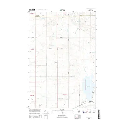 2014 Millecoquins2014 Print · USGSThe Millecoquins Lake region in Mackinac County was characterized by its intricate river systems and scattered settlements in the early 2010s. Researchers can trace local landmarks like Bethlehem Lutheran Cem and the settlement of Millecoquins.
 - 2014 Map of Engadine, 2014 Print
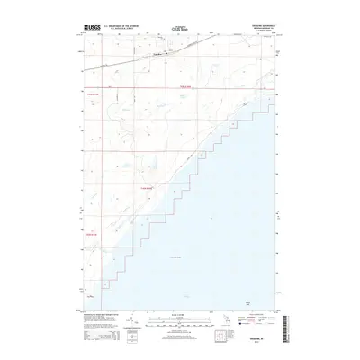 2014 Engadine2014 Print · USGSMackinac County’s southern coast is documented in the mid-2010s, centering on the rural community of Engadine. Genealogists and historians can trace local landmarks like Engadine Cem or coastal features including Cranberry Shoal and Fox Point.
 - 2014 Map of Garnet, 2014 Print
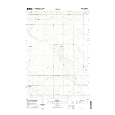 2014 Garnet2014 Print · USGSGarnet and the surrounding Garfield Township wetlands are captured here in the early twenty-first century. Genealogists and local historians can locate the Maplewood Cem and trace old logging routes like Giddings Truck Trl near Garnet Lake.
Showing maps 1-25 of 45
Top cities near Garfield Township
Top neighborhoods of Garfield Township
- Gilchrist historical maps
- Millecoquins historical maps
- Naubinway historical maps
- Engadine historical maps
Frequently asked questions
- What are the different types of historical maps available for Garfield Township?
- What is the oldest map of Garfield Township?
- Where can I purchase historical maps of Garfield Township for my home or office?
- Where can I download high-res historical maps of Garfield Township?
- Are there historical topographic maps available for Garfield Township?
- Is there historical aerial imagery available for Garfield Township?
- Where are historical maps of Garfield Township sourced from?