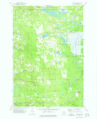
1973 Map of Gilchrist
USGS Topo · Published 1977About this map
Gilchrist serves as a small rail-oriented anchor in this 1973 landscape, situated where the Soo Line traverses the southern reaches of the Mackinac State Forest. The map captures a transition from managed timberlands and peatlands to recreational utility, evidenced by the Hiawatha Club Landing Strip and a dense network of forest tracks like Pullup Lake Road and Mc Leod Truck Road. In the northeast, the Tahquamenon River flows through the Tahquamenon River State Forest, while the distinctive Cranberry Lake Bog illustrates the region's complex wetlands. Multiple former transportation routes are visible through an Old Railroad Grade and Old RR Grade, tracing the history of logging logistics that once dominated these northern woods. The terrain is marked by numerous small water bodies such as Jacko Pond, Lucky Lake, and Lake Louise, all interconnected by various branches of Peters Creek and the Lower Millecoquins River.
Find a feature on this map
39 named features on this map. Tap any name to fly to it.
Don’t see what you’re looking for? This feature index may not catch every label — zoom into the map to look around manually.
Map Details
Editions of this 1973 Gilchrist Map
This is the sole edition of this map. No revisions or reprints were ever made.
Other maps of this area

1931 · Gould City NE
USGS Topo · 1:31,680

1931 · Gould City SE
USGS Topo · 1:31,680

1931 · Gilchrist NE
USGS Topo · 1:31,680

1931 · Gilchrist NW
USGS Topo · 1:31,680

1954 · Sault Sainte Marie
USGS Topo · 1:250,000

1956 · Sault Sainte Marie
USGS Topo · 1:250,000

1957 · Sault Sainte Marie
USGS Topo · 1:250,000

1958 · Sault Sainte Marie
USGS Topo · 1:250,000
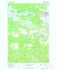
1973 · Newberry
USGS Topo · 1:24,000
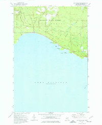
1973 · Hog Island Point
USGS Topo · 1:24,000