2010s Maps of Newton Township, Michigan
Explore 32 historic maps of Newton Township from the 2010s. These maps offer a rare glimpse into what life looked like during the 2010s — showing old roads, neighborhoods, homes, and landmarks that have changed or disappeared over time.
Whether you're researching your family's past, planning a metal detecting trip, or studying how Newton Township's landscape evolved across the 2010s, these high-resolution maps are a powerful tool for exploring the history of this region.
- Focus on a specific era: All maps on this page are from the 2010s, giving you a focused view of this time period.
- See what’s changed: Compare century-old streets, trails, and buildings to today's modern landscape using overlays and satellite layers.
- Research with precision: Use these maps for genealogy, historical research, land use analysis, or educational projects.
- View, download, or print: Maps are fully viewable online in high resolution, and can be downloaded or printed for your own records.
Start exploring Newton Township's history through authentic maps from the 2010s. This is your window into the past.
Newton Township, MI maps
(32)- 2011 Map of Engadine, 2011 Print
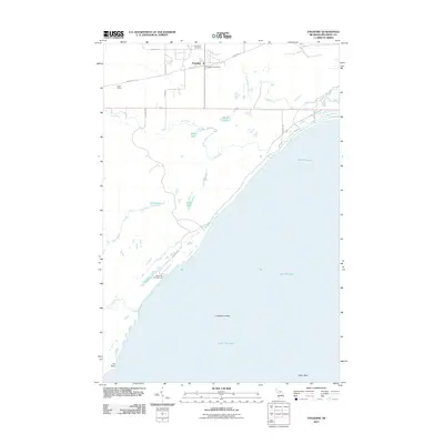 2011 Engadine2011 Print · USGSThe northern coast of Lake Michigan comes into focus in this early twenty-first-century survey of Mackinac County. Genealogists and local historians can trace the roads around Engadine, locate the Engadine Cemetery, or explore the shoreline at Fox Point.
 - 2011 Map of Hughes Point, 2011 Print
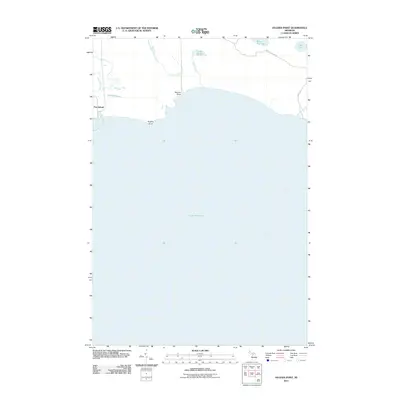 2011 Hughes Point2011 Print · USGSNewton Township's northern coastline along Lake Michigan is documented here during the early twenty-first century. Researchers can trace the industrial footprint of Port Inland and follow natural watercourses like the Milakokia River and Swan Marsh.
 - 2011 Map of Milakokia Lake, 2011 Print
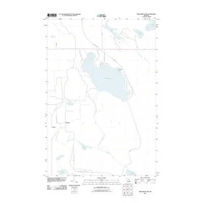 2011 Milakokia Lake2011 Print · USGSMackinac County’s lake country is captured here during the early 2000s, showing the intersection of logging roads and quiet waters. Genealogists and local historians can trace the areas around Huntspur, Inland, and the shores of Milakokia Lake.
 - 2011 Map of Millecoquins, 2011 Print
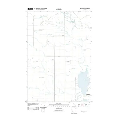 2011 Millecoquins2011 Print · USGSThe Upper Peninsula near the turn of the decade is defined by its deep woods and the winding Upper Millecoquins River. Genealogists and historians can locate the Bethlehem Lutheran Cemetery and trace the shores of Millecoquins Lake.
 - 2011 Map of Curtis East, 2011 Print
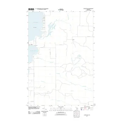 2011 Curtis East2011 Print · USGSUpper Peninsula lake life and rural settlement patterns are visible in this early twenty-first-century survey of Mackinac County. Genealogists and local historians can locate Curtis, the Sandtown Cemetery, and family-named routes like McConnel Rd.
 - 2011 Map of Curtis West, 2011 Print
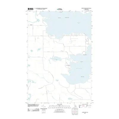 2011 Curtis West2011 Print · USGSMackinac County's lake country is captured here in the early twenty-first century, showing the developed shorelines of the Upper Peninsula. Genealogists and local historians can trace family-named sites like Curtis Cemetery or follow the path of the Old Bryan Grade Rd.
 - 2011 Map of Gould City, 2011 Print
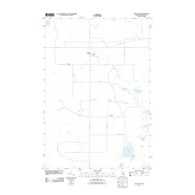 2011 Gould City2011 Print · USGSUpper Peninsula life in Newton Township is centered around the small crossroads of Gould City and Corinne during the early 2000s. Genealogists and local historians can locate the Polly Family Cemetery and trace the waterways of McEachern Creek and Duel Lake.
 - 2011 Map of Point Patterson, 2011 Print
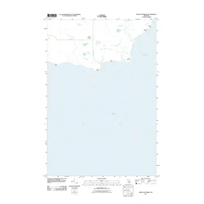 2011 Point Patterson2011 Print · USGSMackinac County's shoreline and the rural interior of Newton Township are captured here at the start of the 2010s. Researchers can locate the Gould City Township Cemetery and trace the winding paths of the Cataract River and Hudson Creek.
 - 2014 Map of Point Patterson, 2014 Print
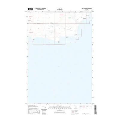 2014 Point Patterson2014 Print · USGSMackinac County's shoreline meets the waters of the Upper Peninsula in this survey of Newton Township's northern coast. Researchers can trace land markers from the Gould City Township Cem to remote coastal features like Birch Point and Grants Point.
 - 2014 Map of Hughes Point, 2014 Print
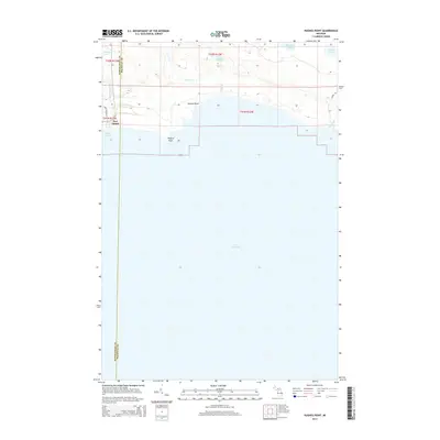 2014 Hughes Point2014 Print · USGSUpper Peninsula lakefront industry and wetlands are documented in this mid-2010s survey of the Mackinac and Schoolcraft county line. Researchers can trace the maritime footprint of Port Inland and explore the hydrology of Swan Marsh and Inland Harbor.
 - 2014 Map of Curtis East, 2014 Print
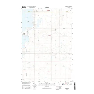 2014 Curtis East2014 Print · USGSUpper Peninsula lake life meets the deep woods of Mackinac County in the mid-2010s. Trace local history through landmarks like Sandtown Cem, the settlement of Curtis, and the intricate shorelines of Manistique Lake and S Manistique Lake.
 - 2014 Map of Gould City, 2014 Print
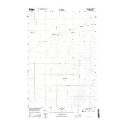 2014 Gould City2014 Print · USGSMackinac County's northern timber and marshlands are captured in this recent survey of the Upper Peninsula. Genealogists and local historians can locate the Polly Family Cem and trace the waterways connecting Duel Lake, Turtle Lake, and McEachern Cr.
 - 2014 Map of Curtis West, 2014 Print
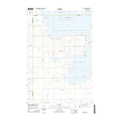 2014 Curtis West2014 Print · USGSMackinac County's lake country is captured here during the mid-2010s, centered on the settlement of Curtis. Local historians can trace the Old Bryan Grade or locate family roots near the Curtis Cem and Cooks Bay.
 - 2014 Map of Millecoquins, 2014 Print
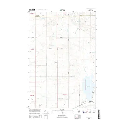 2014 Millecoquins2014 Print · USGSThe Millecoquins Lake region in Mackinac County was characterized by its intricate river systems and scattered settlements in the early 2010s. Researchers can trace local landmarks like Bethlehem Lutheran Cem and the settlement of Millecoquins.
 - 2014 Map of Milakokia Lake, 2014 Print
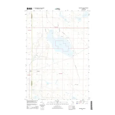 2014 Milakokia Lake2014 Print · USGSNewton Township and the surrounding timberlands of the Upper Peninsula appear here during a period of modern preservation and rural transit. Researchers can trace historic transport corridors like the Old Bryan Grade and find lakeside locales like Huntspur and Beaver Bay.
 - 2014 Map of Engadine, 2014 Print
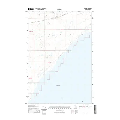 2014 Engadine2014 Print · USGSMackinac County’s southern coast is documented in the mid-2010s, centering on the rural community of Engadine. Genealogists and historians can trace local landmarks like Engadine Cem or coastal features including Cranberry Shoal and Fox Point.
 - 2017 Map of Milakokia Lake, 2017 Print
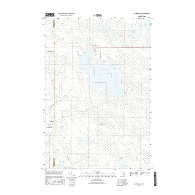 2017 Milakokia Lake2017 Print · USGSUpper Peninsula lake country is captured in detail here during the late twenty-tens, showing the transition between Schoolcraft and Mackinac Counties. Local researchers can trace the wetlands surrounding Milakokia Lake or locate the settlements of Huntspur and Inland.
 - 2017 Map of Hughes Point, 2017 Print
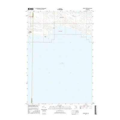 2017 Hughes Point2017 Print · USGSThe Lake Michigan shoreline of the Upper Peninsula remains a mix of industry and wilderness in the late 2010s. Modern researchers can trace the industrial layout of Port Inland and the natural drainages of the Milakokia River and Swan Marsh.
 - 2017 Map of Curtis East, 2017 Print
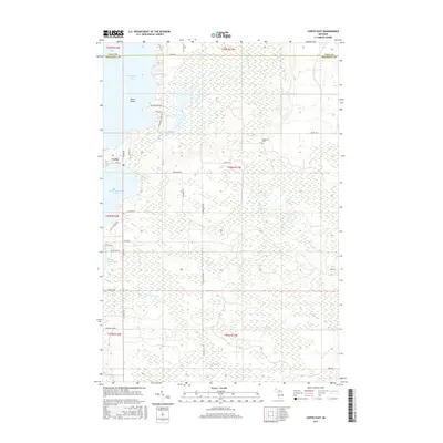 2017 Curtis East2017 Print · USGSMackinac County's lake country is center stage in this recent survey of the land between the two Manistique lakes. Genealogists and local historians can locate the Sandtown Cem and trace rural routes through Curtis and the shores of South Manistique Lake.
 - 2017 Map of Gould City, 2017 Print
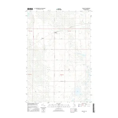 2017 Gould City2017 Print · USGSMackinac County's southern wetlands meet the Lake Michigan shore in this recent survey of the Upper Peninsula. Local historians and genealogists can trace the rural layouts of Gould City and Corinne or locate the small Polly Family Cem near Scrams Cr.
 - 2017 Map of Engadine, 2017 Print
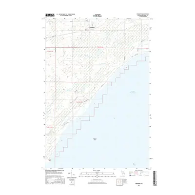 2017 Engadine2017 Print · USGSNewton Township and the community of Engadine are shown here as they appeared in 2017, where Upper Peninsula forests meet the northern shores of Lake Michigan. Genealogists and hikers can trace the Engadine Cem and local routes like the Big Knob - Crow Lake Pathway.
 - 2017 Map of Curtis West, 2017 Print
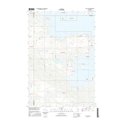 2017 Curtis West2017 Print · USGSNewton Township and the surrounding lake country were centers of recreation and rural life in the late twenty-teens. Genealogists and local historians can trace family locations near Curtis, the Old Germfask Cem, and the timber history of the Old Bryan Grade.
 - 2017 Map of Millecoquins, 2017 Print
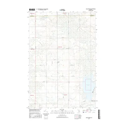 2017 Millecoquins2017 Print · USGSMackinac County's northern wetlands and timberlands are captured here during the late twenty-teens, centered on the significant Millecoquins Lake basin. Genealogists and local researchers can locate the Bethlehem Lutheran Cem and trace the paths of F Trl or the Upper Millecoquins River.
 - 2017 Map of Point Patterson, 2017 Print
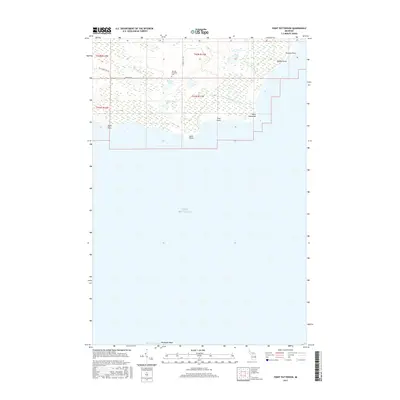 2017 Point Patterson2017 Print · USGSThe northern shoreline of Lake Michigan comes into focus in the twenty-tens, capturing the remote wetlands and points of Newton Township. Genealogists and local historians can locate the Newton Township Cemetery and trace the shores of Bruders Lake and Point Patterson.
 - 2019 Map of Hughes Point, 2019 Print
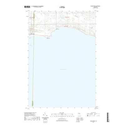 2019 Hughes Point2019 Print · USGSMackinac and Schoolcraft counties meet along the Upper Peninsula shoreline in this recent look at the region’s maritime and marshland geography. Researchers can trace the coastal layout of Port Inland and locate inland water features like Swan Marsh and Batty Doe Lake.
Showing maps 1-25 of 32
Top cities near Newton Township
Top neighborhoods of Newton Township
Frequently asked questions
- What are the different types of historical maps available for Newton Township?
- What is the oldest map of Newton Township?
- Where can I purchase historical maps of Newton Township for my home or office?
- Where can I download high-res historical maps of Newton Township?
- Are there historical topographic maps available for Newton Township?
- Is there historical aerial imagery available for Newton Township?
- Where are historical maps of Newton Township sourced from?