Old Maps of Pleasanton Township, Michigan for Metal Detecting
Plan your next treasure hunt with 34 historic maps of Pleasanton Township. Find old homesites, ghost towns, trails, and gathering spots that may be lost to time — perfect for identifying promising metal detecting locations.
- Locate forgotten sites: Uncover places like long-lost settlements, abandoned rail lines, or gathering spots.
- Plan better hunts: Use map overlays combined with LiDAR or satellite views to narrow in on historically rich areas.
- Made for detectorists: Thousands of hobbyists use these maps to discover relics, coins, and hidden history.
Use these historic maps to boost your research and find new opportunities beneath the surface of Pleasanton Township.
Pleasanton Township, MI maps
(34)- 1954 Map of Manitowoc, 1968 Print
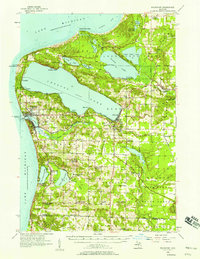
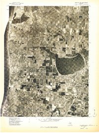
 1954 Manitowoc1968 Print · USGSLake Michigan served as a vital transit corridor in the mid-fifties, with car and auto ferries linking the industrial ports of Wisconsin to the Michigan timberlands. Genealogists and maritime historians can trace active ferry routes like the Ann Arbor Railway Car and Auto Ferry and locate early settlements from Brussels to Algoma.2 unique versions available
 - 1956 Map of Onekama, 1958 Print
 1956 Onekama1958 Print · USGSThe Manistee County shoreline and inland timberlands are captured here in the mid-1950s. Trace old township life through landmarks like Bear Lake, the Indian Village, and several schools including the Merritt Sch.3 unique versions available
 - 1956 Map of Frankfort, 1958 Print
 1956 Frankfort1958 Print · USGSThe Benzie County shoreline during the mid-fifties shows a landscape of established lakeside communities and changing rural infrastructure. Genealogists can locate family names at Crystal Lake Cem or trace vanished local landmarks like Lincoln Sch and Union Chapel.3 unique versions available
 - 1958 Map of Manitowoc
 1958 Manitowoc1958 Print · USGSLake Michigan and its shorelines are shown in the late fifties when maritime transport defined the region. Researchers can trace the routes of the Ann Arbor Railroad Ferry or locate old settlements like St. Nazianz, Rostock, and Two Creeks.
 - 1976 Map of Frankfort SE
 1976 Frankfort SE1976 Print · USGSIn the mid-seventies, this area of Benzie County preserved a classic northern Michigan landscape of winding waterways and village life. Researchers can trace the exact footprint of Benzonia and follow the natural curves of the Betsie River as they appeared decades ago.
 - 1976 Map of Frankfort SW
 1976 Frankfort SW1976 Print · USGSThe Benzie County shoreline appears in sharp detail during the mid-seventies in this aerial survey. Local historians can trace the exact footprint of coastal settlements like Elberta and Watervale alongside the waters of Betsie Lake.
 - 1976 Map of Onekama NW
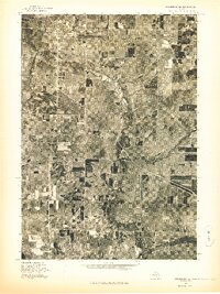
 1976 Onekama NW1976 Print · USGSThe Manistee County shoreline and interior farmlands are captured in mid-1970s aerial detail. Researchers can trace rural property lines and the development of lakeside communities like ARCADIA, PIERPORT, and BEAR LAKE.
 - 1976 Map of Onekama NE
 1976 Onekama NE1976 Print · USGSManistee County in the mid-1970s is captured here through detailed aerial photography, showing the rural landscape as it appeared just before modern expansion. Genealogists and land researchers can pinpoint specific farmsteads near Kaleva and Pleasanton or trace the path of the Betsie River.
 - 1982 Map of Pleasanton, 1983 Print
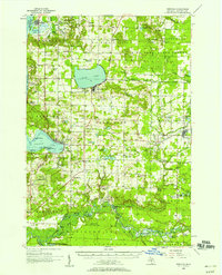
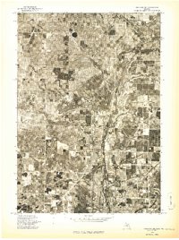
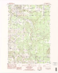
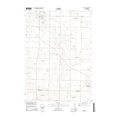
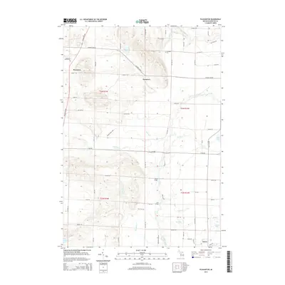
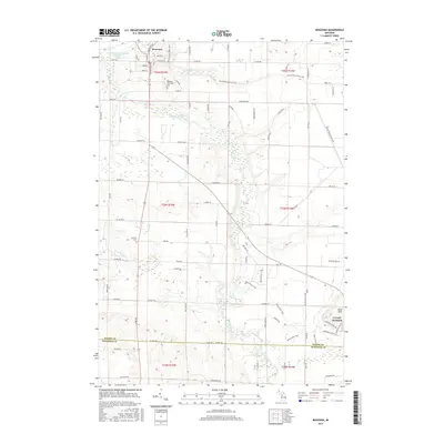
 1982 Pleasanton1983 Print · USGSManistee County in the early eighties shows a transition from traditional timber and rail land toward modern resource management. Researchers can locate the Township Cem near Pleasanton, family-named bridges like Jopp Bridge, and the Chesapeake and Ohio tracks.2 unique versions available
 - 1983 Map of Manistee
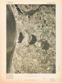
 1983 Manistee1983 Print · USGSThe Lake Michigan shoreline and the wooded interior of Manistee and Mason Counties are shown here during the early 1980s. Genealogists and historians can trace rail-side towns along the Chesapeake and Ohio or explore old routes like the Old Indian Trail and settlements such as Freesoil and Kaleva.
 - 1983 Map of Bear Lake, 1984 Print
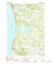
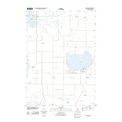
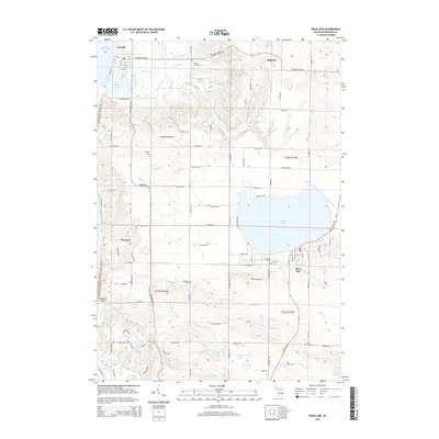
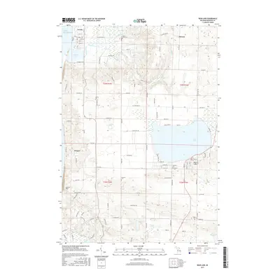
 1983 Bear Lake1984 Print · USGSCoastal Manistee County comes to life in the early eighties, showcasing the transition between the Lake Michigan shoreline and the wooded interior. Researchers can trace family sites near Pierport or locate burial records at Conway Cem and Onekama Cem.
 - 1983 Map of Benzonia, 1984 Print
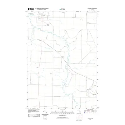
 1983 Benzonia1984 Print · USGSBenzie County’s rural interior is captured here in the early eighties, showing the agricultural grids and river valleys south of Crystal Lake. Genealogists can locate family landmarks like Joyfield Cem or trace the path of the Betsie River and the Northern Michigan rail line.2 unique versions available
 - 1983 Map of Elberta, 1984 Print
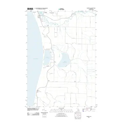
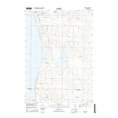
 1983 Elberta1984 Print · USGSThe Lake Michigan shoreline of Benzie County is shown in detail during the early 1980s, from the harbor at Elberta to the dunes of Arcadia. Genealogists and local historians can locate early burial sites like Gilmore Cem and rural gathering places such as Putney Corners and Blaine Ch.
 - 1984 Map of Crystal Lake, 1985 Print
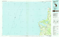 1984 Crystal Lake1985 Print · USGSCoastal Benzie County in the mid-1980s reveals a landscape shaped by shifting dunes and deep glacial lakes. Researchers can trace the development of lakeside towns like Frankfort and Elberta, or locate landmarks such as the Point Betsie Lighthouse.2 unique versions available
 - 2011 Map of Pleasanton, 2011 Print
 2011 Pleasanton2011 Print · USGSCovers Pleasanton Township, including Pleasanton, Kaleva, and other nearby areas
 - 2011 Map of Bear Lake, 2011 Print
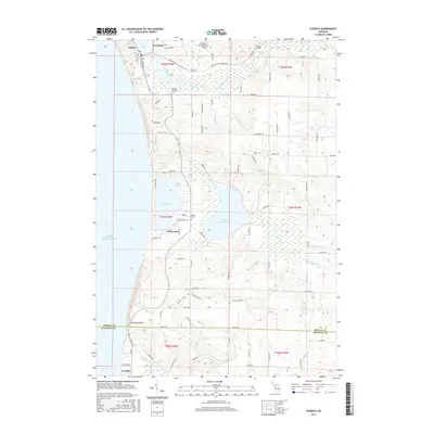
 2011 Bear Lake2011 Print · USGSCovers Pleasanton Township, including Arcadia, Bear Lake, and other nearby areas
 - 2011 Map of Benzonia, 2011 Print
 2011 Benzonia2011 Print · USGSCovers Pleasanton Township, including Weldon, Benzonia, and other nearby areas
 - 2011 Map of Elberta, 2011 Print
 2011 Elberta2011 Print · USGSCovers Pleasanton Township, including Frankfort, Elberta, and other nearby areas
 - 2014 Map of Benzonia, 2014 Print
 2014 Benzonia2014 Print · USGSCovers Pleasanton Township, including Weldon, Benzonia, and other nearby areas
 - 2014 Map of Pleasanton, 2014 Print
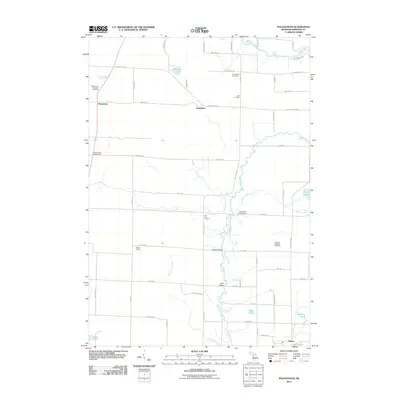
 2014 Pleasanton2014 Print · USGSCovers Pleasanton Township, including Pleasanton, Kaleva, and other nearby areas
 - 2014 Map of Bear Lake, 2014 Print
 2014 Bear Lake2014 Print · USGSCovers Pleasanton Township, including Arcadia, Bear Lake, and other nearby areas
 - 2014 Map of Elberta, 2014 Print
 2014 Elberta2014 Print · USGSCovers Pleasanton Township, including Frankfort, Elberta, and other nearby areas
 - 2017 Map of Bear Lake, 2017 Print
 2017 Bear Lake2017 Print · USGSCovers Pleasanton Township, including Arcadia, Bear Lake, and other nearby areas
 - 2017 Map of Benzonia, 2017 Print
 2017 Benzonia2017 Print · USGSCovers Pleasanton Township, including Weldon, Benzonia, and other nearby areas
 - 2017 Map of Elberta, 2017 Print
 2017 Elberta2017 Print · USGSCovers Pleasanton Township, including Frankfort, Elberta, and other nearby areas
Showing maps 1-25 of 34
Top cities near Pleasanton Township
- Manistee historical maps
- Frankfort historical maps
- Pleasanton historical maps
- Parkdale historical maps
- Onekama historical maps
- Arcadia historical maps
See more
Top neighborhoods of Pleasanton Township
Frequently asked questions
- What are the different types of historical maps available for Pleasanton Township?
- What is the oldest map of Pleasanton Township?
- Where can I purchase historical maps of Pleasanton Township for my home or office?
- Where can I download high-res historical maps of Pleasanton Township?
- Are there historical topographic maps available for Pleasanton Township?
- Is there historical aerial imagery available for Pleasanton Township?
- Where are historical maps of Pleasanton Township sourced from?