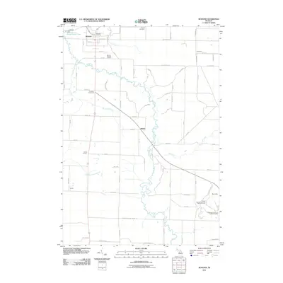
2011 Map of Benzonia
USGS Topo · Published 2011About this map
Benzonia serves as the primary settlement in this northern Michigan landscape, characterized by the winding path of the Betsie River and several smaller tributaries like Rice Creek and Dair Creek. The map records a mix of agricultural plots and outdoor recreation, with the Pinecroft Golf Course and the sprawling Crystal Mountain Ridge Golf Course occupying the higher ground near Buck Hills. Genealogists will find significant local history at the Benzonia Township Cemetery and the Joyfield Cemetery, providing vital links to the early residents of Joyfield and Homestead. The grid-like road network, including the N Manistee County Line Rd at the southern boundary, connects small community nodes and the central Benzonia Post Office, illustrating the 21st-century spatial organization of Benzie County.
Find a feature on this map
74 named features on this map. Tap any name to fly to it.
Don’t see what you’re looking for? This feature index may not catch every label — zoom into the map to look around manually.
Map Details
Editions of this 2011 Benzonia Map
This is the sole edition of this map. No revisions or reprints were ever made.
Other maps of this area

1954 · Traverse City
USGS Topo · 1:250,000

1954 · Manitowoc
USGS Topo · 1:250,000

1956 · Onekama
USGS Topo · 1:62,500

1956 · Thompsonville
USGS Topo · 1:62,500

1956 · Frankfort
USGS Topo · 1:62,500

1957 · Copemish
USGS Topo · 1:62,500

1958 · Traverse City
USGS Topo · 1:250,000

1958 · Manitowoc
USGS Topo · 1:250,000

1976 · Frankfort SE
USGS Topo · 1:24,000

1976 · Frankfort NW
USGS Topo · 1:24,000