Old Maps of Grant Township, Michigan for Genealogy
Trace your family roots with 30 historic maps of Grant Township. These high-res maps reveal old neighborhoods, homesites, landmarks, and streets — helping you uncover where your ancestors lived and how the area evolved over time.
- Explore historic neighborhoods: Identify where your relatives may have lived in the 1800s or 1900s.
- Compare maps over time: Trace the changes in streets, buildings, and landmarks for multi-generational research.
- Perfect for genealogy & ancestry research: Used by family historians and researchers to map out lineage and migration.
These maps are an incredible resource for exploring your personal connection to Grant Township's past.
Grant Township, MI maps
(30)- 1931 Map of Manistee SE
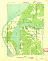
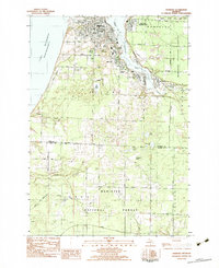
 1931 Manistee SE1931 Print · USGSMason County townships reveal their rural character in the early 1930s, showing a landscape defined by river forks and a high density of country schools. Genealogists can trace early homesteads near Kings Corner's, Tex, and school sites like Town Hall Sch or Darr Sch.
 - 1931 Map of Manistee SW
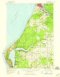
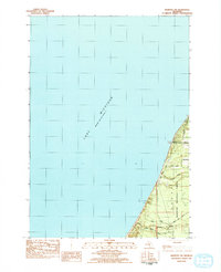
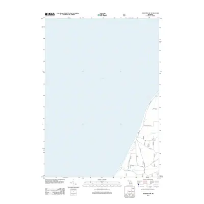
 1931 Manistee SW1931 Print · USGSThe Mason County shoreline during the early thirties shows a landscape of bayous and maritime outposts. Genealogists and researchers can locate old landmarks like the Nordhouse Sch, Bridges Resort, and the iconic Big Sable LH.
 - 1954 Map of Manitowoc, 1968 Print
 1954 Manitowoc1968 Print · USGSLake Michigan served as a vital transit corridor in the mid-fifties, with car and auto ferries linking the industrial ports of Wisconsin to the Michigan timberlands. Genealogists and maritime historians can trace active ferry routes like the Ann Arbor Railway Car and Auto Ferry and locate early settlements from Brussels to Algoma.2 unique versions available
 - 1958 Map of Manitowoc
 1958 Manitowoc1958 Print · USGSLake Michigan and its shorelines are shown in the late fifties when maritime transport defined the region. Researchers can trace the routes of the Ann Arbor Railroad Ferry or locate old settlements like St. Nazianz, Rostock, and Two Creeks.
 - 1958 Map of Manistee, 1959 Print
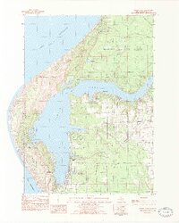
 1958 Manistee1959 Print · USGSThe Lake Michigan shoreline and Manistee River valley appear here in the late fifties, showcasing the region's transition from industrial port to forest recreation. Trace local genealogy and history through landmarks like Stronach, the Old Freesoil Sch, and Sacred Heart Ch.3 unique versions available
 - 1982 Map of Hamlin Lake, 1983 Print
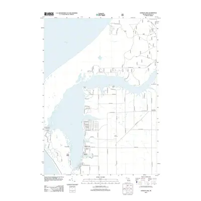
 1982 Hamlin Lake1983 Print · USGSThe Mason County shoreline comes to life in this early 1980s survey, showing the intricate bays and peninsulas of the Lake Michigan coast. Genealogists and local historians can locate Hamlin Village, Sacred Heart Ch, and family landmarks like Indian Pete Bayou.2 unique versions available
 - 1982 Map of Kings Corners, 1983 Print
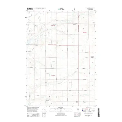
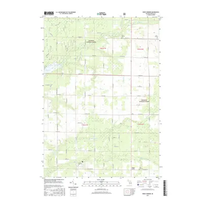
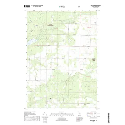
 1982 Kings Corners1983 Print · USGSMason County’s transition from the Manistee National Forest to rural homesteads is captured here in the early eighties. Genealogists and local historians can locate West Shore Community College, North Victory Cem, and the quiet crossroads at Kings Corners.
 - 1982 Map of Manistee, 1983 Print
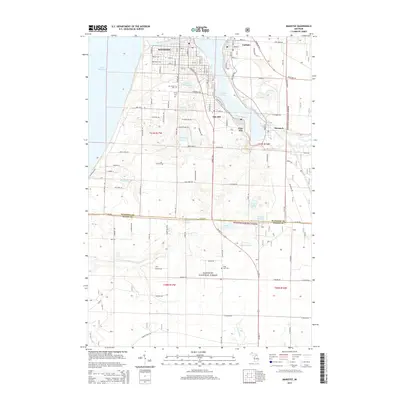
 1982 Manistee1983 Print · USGSThe industrial hub of Manistee and its bustling lakefront are captured in the early eighties, showcasing a city defined by rail and river. Researchers can trace the layout of Filer City and Stronach, find family plots at Mt Carmel Cem, or locate schools like Guardian Angel Sch.3 unique versions available
 - 1982 Map of Manistee NW, 1984 Print
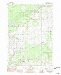
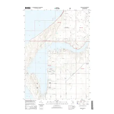
 1982 Manistee NW1984 Print · USGSThe Lake Michigan shoreline meets the wooded interior of the Manistee National Forest in the early eighties. Genealogists and local researchers can trace the rural landscape along the county line and locate family-named routes like Sass Road, Jepson Road, and the Indian Trail.
 - 1983 Map of Manistee
 1983 Manistee1983 Print · USGSThe Lake Michigan shoreline and the wooded interior of Manistee and Mason Counties are shown here during the early 1980s. Genealogists and historians can trace rail-side towns along the Chesapeake and Ohio or explore old routes like the Old Indian Trail and settlements such as Freesoil and Kaleva.
 - 2012 Map of Manistee, 2012 Print
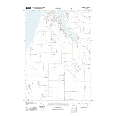 2012 Manistee2012 Print · USGSCovers Grant Township, including Manistee, Oak Hill, and other nearby areas
 - 2012 Map of Kings Corners, 2012 Print
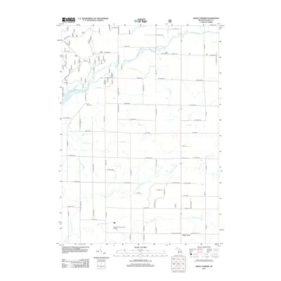 2012 Kings Corners2012 Print · USGSCovers Grant Township, including Victory Township, Sugar Grove, and other nearby areas
 - 2012 Map of Manistee NW, 2012 Print
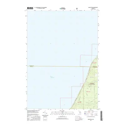
 2012 Manistee NW2012 Print · USGSCovers Grant Township, including Filer Charter Township, Mason County, and other nearby areas
 - 2012 Map of Hamlin Lake, 2012 Print
 2012 Hamlin Lake2012 Print · USGSCovers Grant Township, including Victory Township, Weimer, and other nearby areas
 - 2014 Map of Kings Corners, 2014 Print
 2014 Kings Corners2014 Print · USGSCovers Grant Township, including Victory Township, Sugar Grove, and other nearby areas
 - 2014 Map of Hamlin Lake, 2014 Print
 2014 Hamlin Lake2014 Print · USGSCovers Grant Township, including Victory Township, Weimer, and other nearby areas
 - 2014 Map of Manistee, 2014 Print
 2014 Manistee2014 Print · USGSCovers Grant Township, including Manistee, Oak Hill, and other nearby areas
 - 2014 Map of Manistee NW, 2014 Print
 2014 Manistee NW2014 Print · USGSCovers Grant Township, including Filer Charter Township, Mason County, and other nearby areas
 - 2017 Map of Kings Corners, 2017 Print
 2017 Kings Corners2017 Print · USGSCovers Grant Township, including Victory Township, Sugar Grove, and other nearby areas
 - 2017 Map of Manistee NW, 2017 Print
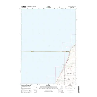
 2017 Manistee NW2017 Print · USGSCovers Grant Township, including Filer Charter Township, Mason County, and other nearby areas
 - 2017 Map of Manistee, 2017 Print
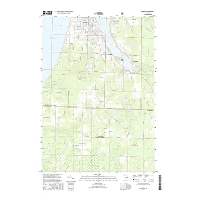 2017 Manistee2017 Print · USGSCovers Grant Township, including Manistee, Oak Hill, and other nearby areas
 - 2017 Map of Hamlin Lake, 2017 Print
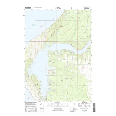 2017 Hamlin Lake2017 Print · USGSCovers Grant Township, including Victory Township, Weimer, and other nearby areas
 - 2019 Map of Manistee, 2019 Print
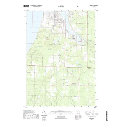 2019 Manistee2019 Print · USGSCovers Grant Township, including Manistee, Oak Hill, and other nearby areas
 - 2019 Map of Hamlin Lake, 2019 Print
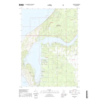 2019 Hamlin Lake2019 Print · USGSCovers Grant Township, including Victory Township, Weimer, and other nearby areas
 - 2019 Map of Kings Corners, 2019 Print
 2019 Kings Corners2019 Print · USGSCovers Grant Township, including Victory Township, Sugar Grove, and other nearby areas
Showing maps 1-25 of 30
Top cities near Grant Township
- Ludington historical maps
- Manistee historical maps
- Amber historical maps
- Scottville historical maps
- Parkdale historical maps
- Oak Hill historical maps
See more
Frequently asked questions
- What are the different types of historical maps available for Grant Township?
- What is the oldest map of Grant Township?
- Where can I purchase historical maps of Grant Township for my home or office?
- Where can I download high-res historical maps of Grant Township?
- Are there historical topographic maps available for Grant Township?
- Is there historical aerial imagery available for Grant Township?
- Where are historical maps of Grant Township sourced from?