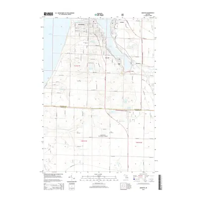
2014 Map of Manistee
USGS Topo · Published 2014About this map
Manistee sits at the vital junction where the Manistee River flows into Lake Michigan, serving as the anchor for a landscape shaped by industrial history and natural forest. The map documents the residential and industrial corridors extending around Manistee Lake, connecting the city to peripheral communities such as Eastlake, Oak Hill, Filer City, and Stronach. This 2014 survey shows the modern footprint of the region's long-standing salt and timber legacies, with substantial land preserved within the Manistee National Forest.
Find a feature on this map
70 named features on this map. Tap any name to fly to it.
Don’t see what you’re looking for? This feature index may not catch every label — zoom into the map to look around manually.
Map Details
Editions of this 2014 Manistee Map
This is the sole edition of this map. No revisions or reprints were ever made.
Other maps of this area

1931 · Manistee SE
USGS Topo · 1:31,680

1931 · Freesoil SW
USGS Topo · 1:31,680

1931 · Manistee SW
USGS Topo · 1:31,680

1954 · Manitowoc
USGS Topo · 1:250,000

1956 · Onekama
USGS Topo · 1:62,500

1956 · Bar Lake
USGS Topo · 1:62,500

1957 · Freesoil
USGS Topo · 1:62,500

1958 · Manitowoc
USGS Topo · 1:250,000

1958 · Manistee
USGS Topo · 1:62,500

1976 · Onekama SW
USGS Topo · 1:24,000