Old Maps of Warren Township, Michigan for Academic Research
Study the evolution of Warren Township with 33 high-resolution historic maps. Whether you're teaching, researching, or modeling changes in land use, these maps provide essential visual documentation of urban, environmental, and geographic change.
- Analyze long-term change: Track patterns in development, transportation, and natural features.
- Ideal for environmental or urban studies: Support academic projects with primary historical map data.
- Use in the classroom or lab: Educators and researchers rely on these maps to bring historical context to life.
These maps are a powerful tool for teaching, research, and visualizing how Warren Township has changed over the decades.
Warren Township, MI maps
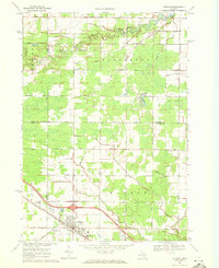
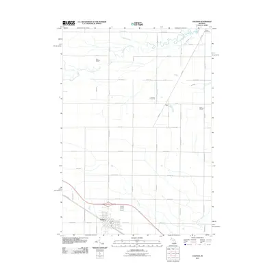
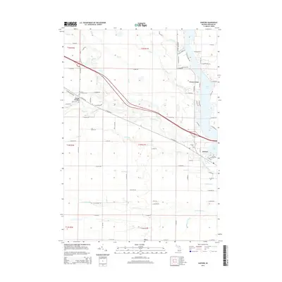
(33)- 1930 Map of Shepherd
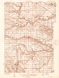 1930 Shepherd1930 Print · USGSIsabella and Midland counties are shown during the 1930s oil boom, centered on the infrastructure around Oil City. Genealogists and researchers can trace family lands near dozens of rural schoolhouses like McNelly Sch or visit the Coleman Cem.3 unique versions available
 - 1934 Map of Sanford, 1965 Print
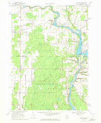
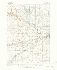 1934 Sanford1965 Print · USGSMidland County's river valleys and township lines are preserved here in the mid-thirties, showing the early infrastructure of the Tittabawassee basin. Researchers can trace rural school districts like St Elmo Sch and historic river crossings at Knight Landing.
 - 1936 Map of Shepherd
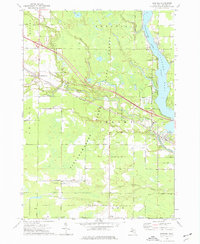
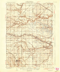 1936 Shepherd1936 Print · USGSCentral Michigan’s rural landscape comes alive in this mid-1930s survey of the Isabella and Midland county line. Genealogists can locate dozens of country schoolhouses like Polish Sch and early churches such as Geneva Hope Ch near the village of Shepherd.2 unique versions available
 - 1936 Map of Sanford
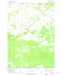
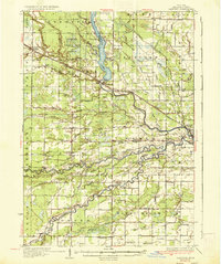 1936 Sanford1936 Print · USGSMidland County in the mid-1930s reveals a landscape of river-driven commerce and emerging conservation. Researchers can trace the Pere Marquette rail line or locate vanished local hubs like Dittmar, Dice, and Francis Grove.2 unique versions available
 - 1954 Map of Midland, 1967 Print
 1954 Midland1967 Print · USGSMid-Michigan at the peak of the post-war era shows a landscape balancing industrial growth in Midland with the deep timberlands of the Manistee National Forest. Researchers can trace the legacy of the timber and rail era along the Pennsylvania RR or find family roots in river towns like Chesaning and Big Rapids.4 unique versions available
 - 1958 Map of Midland
 1958 Midland1958 Print · USGSCentral Michigan in the late fifties is captured here during a period of transition for its university towns and industrial hubs. Genealogists and researchers can trace family lines through old rail-stop towns like Breckenridge and Chesaning or locate property near the Muskegon River and Prairie Farm.
 - 1959 Map of Midland
 1959 Midland1959 Print · USGSMid-century Michigan comes alive in this survey of the central Lower Peninsula, from the streets of Grand Rapids to the Houghton Lake timberlands. Genealogists and rail fans can trace the Ann Arbor RR and Chesapeake and Ohio RR through towns like Big Rapids and Mount Pleasant.
 - 1966 Map of Midland
 1966 Midland1966 Print · USGSCentral Michigan in the mid-1960s shows a landscape of growing manufacturing hubs and active resource extraction. Genealogists and historians can trace the rail corridors of the Grand Trunk Western or locate family-named landmarks near Oil wells and the Muskegon River.
 - 1969 Map of Coleman, 1972 Print
 1969 Coleman1972 Print · USGSMidland and Isabella counties show a landscape of energy and agriculture during the late sixties. Trace the old industrial footprints of the West Beaverton Oil Field and the Chesapeake and Ohio rail lines near Coleman.2 unique versions available
 - 1969 Map of Edenville, 1972 Print
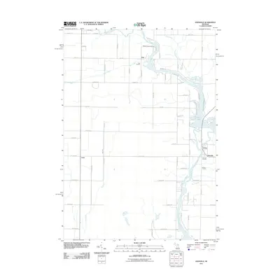
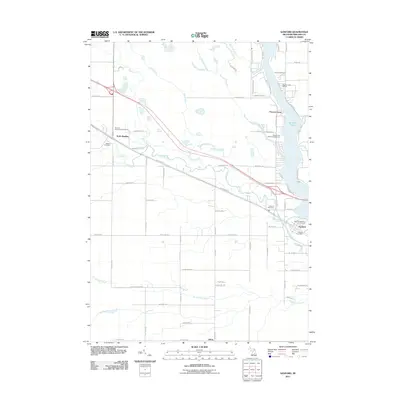
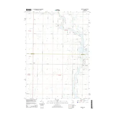
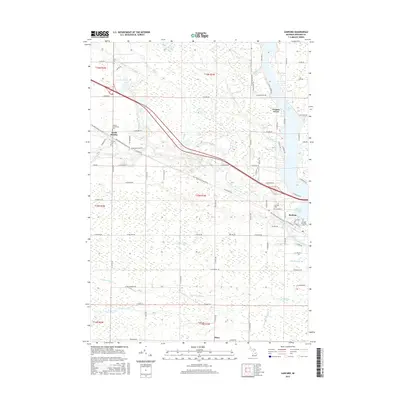
 1969 Edenville1972 Print · USGSMid-Michigan lake country is defined by the convergence of two major rivers in the late 1960s. Researchers can trace the development of Edenville, find local landmarks like Robinson Airfield, and locate family sites near St Anne Ch.2 unique versions available
 - 1973 Map of Sanford, 1976 Print
 1973 Sanford1976 Print · USGSMidland County's river valleys and oil fields are captured here in the early 1970s, as industry and recreation converge around the Sanford Lake reservoir. Researchers can trace historic family burial sites at Community Cem and Township Cem or follow the path of the Chesapeake and Ohio rail line.
 - 1973 Map of Alamando, 1976 Print
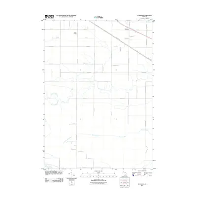
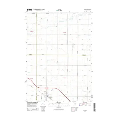
 1973 Alamando1976 Print · USGSMidland and Isabella County at the start of the 1970s show a landscape shaped by state forests and the winding Salt River. Genealogists can locate family landmarks like the Township Cem, Geneva Hope Ch, and the rural community of Alamando.
 - 1984 Map of Midland, 1985 Print
 1984 Midland1985 Print · USGSMid-Michigan's industrial and forest lands come into focus in the mid-eighties, centered on the growing hubs of Midland and Mount Pleasant. Genealogists and historians can trace the Chesapeake and Ohio rail corridor through small towns like Rosebush and Edenville.2 unique versions available
 - 2011 Map of Coleman, 2011 Print
 2011 Coleman2011 Print · USGSCovers Warren Township, including Coleman, Sheridan Township, and other nearby areas
 - 2011 Map of Edenville, 2011 Print
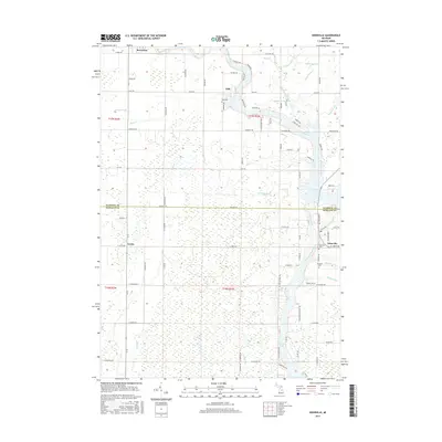
 2011 Edenville2011 Print · USGSCovers Warren Township, including Edenville, Beaverton, and other nearby areas
 - 2011 Map of Alamando, 2011 Print
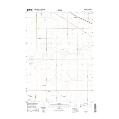
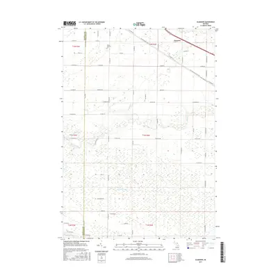
 2011 Alamando2011 Print · USGSCovers Warren Township, including Coleman, Wise Township, and other nearby areas
 - 2011 Map of Sanford, 2011 Print
 2011 Sanford2011 Print · USGSCovers Warren Township, including Sanford, Edenville Township, and other nearby areas
 - 2014 Map of Sanford, 2014 Print
 2014 Sanford2014 Print · USGSCovers Warren Township, including Sanford, Edenville Township, and other nearby areas
 - 2014 Map of Coleman, 2014 Print
 2014 Coleman2014 Print · USGSCovers Warren Township, including Coleman, Sheridan Township, and other nearby areas
 - 2014 Map of Edenville, 2014 Print
 2014 Edenville2014 Print · USGSCovers Warren Township, including Edenville, Beaverton, and other nearby areas
 - 2014 Map of Alamando, 2014 Print
 2014 Alamando2014 Print · USGSCovers Warren Township, including Coleman, Wise Township, and other nearby areas
 - 2017 Map of Coleman, 2017 Print
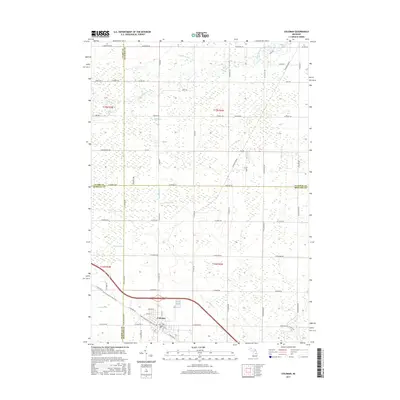 2017 Coleman2017 Print · USGSCovers Warren Township, including Coleman, Sheridan Township, and other nearby areas
 - 2017 Map of Alamando, 2017 Print
 2017 Alamando2017 Print · USGSCovers Warren Township, including Coleman, Wise Township, and other nearby areas
 - 2017 Map of Sanford, 2017 Print
 2017 Sanford2017 Print · USGSCovers Warren Township, including Sanford, Edenville Township, and other nearby areas
 - 2017 Map of Edenville, 2017 Print
 2017 Edenville2017 Print · USGSCovers Warren Township, including Edenville, Beaverton, and other nearby areas
Showing maps 1-25 of 33
Top cities near Warren Township
- Mount Pleasant historical maps
- Clare historical maps
- Gladwin historical maps
- Billings historical maps
- Edenville historical maps
- Wise historical maps
See more
Top neighborhoods of Warren Township
Frequently asked questions
- What are the different types of historical maps available for Warren Township?
- What is the oldest map of Warren Township?
- Where can I purchase historical maps of Warren Township for my home or office?
- Where can I download high-res historical maps of Warren Township?
- Are there historical topographic maps available for Warren Township?
- Is there historical aerial imagery available for Warren Township?
- Where are historical maps of Warren Township sourced from?