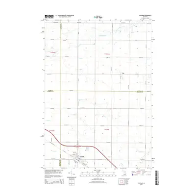
2014 Map of Coleman
USGS Topo · Published 2014About this map
Coleman serves as the primary hub of this Central Michigan landscape, where the intersection of W Saginaw Rd and the regional highway system anchors the local community. The map illustrates a complex drainage network essential to the area's agricultural and rural character, featuring the South Branch Tobacco River as it winds through the northern sections near Lyle. Numerous named waterways like Howe Drain, Lyle Drain, and Dunbar Drain reveal the engineered water management systems that have long supported the local farmsteads.
Find a feature on this map
54 named features on this map. Tap any name to fly to it.
Don’t see what you’re looking for? This feature index may not catch every label — zoom into the map to look around manually.
Map Details
Editions of this 2014 Coleman Map
This is the sole edition of this map. No revisions or reprints were ever made.
Other maps of this area

1930 · Shepherd
USGS Topo · 1:48,000

1934 · Sanford
USGS Topo · 1:62,500

1936 · Shepherd
USGS Topo · 1:62,500

1936 · Sanford
USGS Topo · 1:62,500

1954 · Midland
USGS Topo · 1:250,000

1958 · Midland
USGS Topo · 1:250,000

1959 · Midland
USGS Topo · 1:250,000

1966 · Midland
USGS Topo · 1:250,000

1969 · Gladwin
USGS Topo · 1:24,000

1969 · Coleman
USGS Topo · 1:24,000