2020s Maps of Monroe County, Michigan
Explore 21 historic maps of Monroe County from the 2020s. These maps offer a rare glimpse into what life looked like during the 2020s — showing old roads, neighborhoods, homes, and landmarks that have changed or disappeared over time.
Whether you're researching your family's past, planning a metal detecting trip, or studying how Monroe County's landscape evolved across the 2020s, these high-resolution maps are a powerful tool for exploring the history of this region.
- Focus on a specific era: All maps on this page are from the 2020s, giving you a focused view of this time period.
- See what’s changed: Compare century-old streets, trails, and buildings to today's modern landscape using overlays and satellite layers.
- Research with precision: Use these maps for genealogy, historical research, land use analysis, or educational projects.
- View, download, or print: Maps are fully viewable online in high resolution, and can be downloaded or printed for your own records.
Start exploring Monroe County's history through authentic maps from the 2020s. This is your window into the past.
Monroe County, MI maps
(21)- 2023 Map of Oregon, 2023 Print
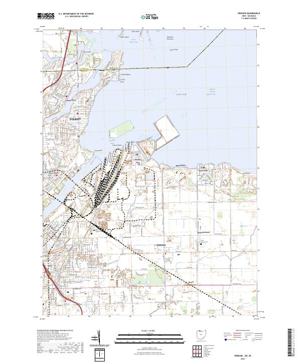 2023 Oregon2023 Print · USGSThe industrial shoreline of Lake Erie and the Maumee River are captured here in the early twenty-first century. Genealogists and local historians can trace family plots at Beth Shalom Cem or explore the waterfront layouts of Harbor View and Point Place.
 - 2023 Map of Sylvania, 2023 Print
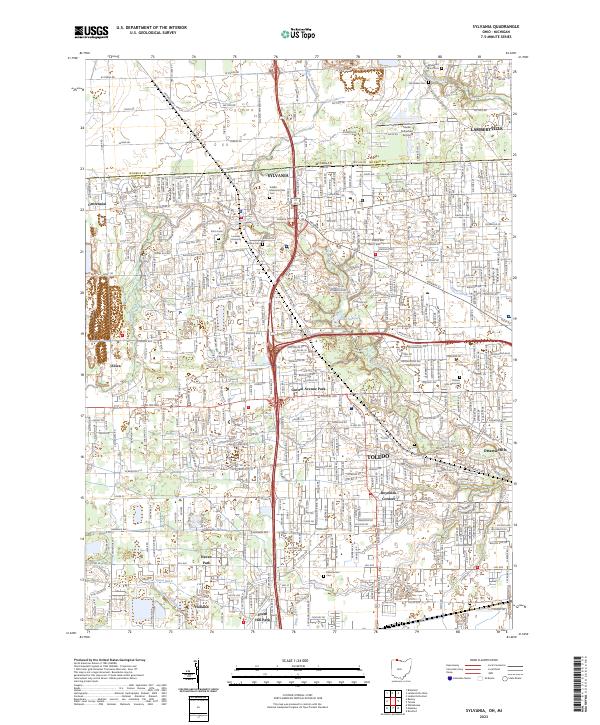 2023 Sylvania2023 Print · USGSCrossing the Michigan-Ohio border in the early twenty-first century, this area shows the dense suburban growth between Toledo and Sylvania. Researchers can trace local history through Toledo Suburban Airport, Lourdes University, and family plots at Van Auken Cem.
 - 2023 Map of Berkey, 2023 Print
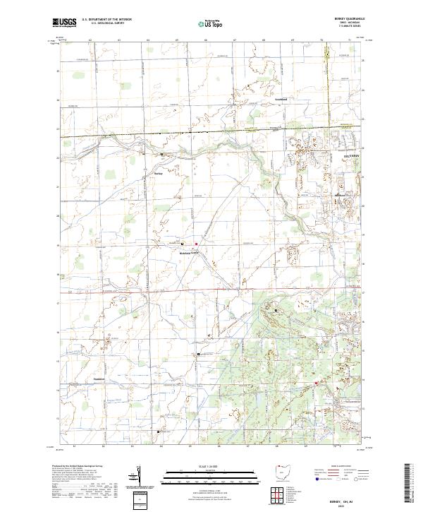 2023 Berkey2023 Print · USGSThe borderlands of Lucas County, Ohio, and Michigan are captured here in the early twenty-first century as suburban growth meets long-standing farmstead tracts. Genealogists can locate family sites near Richfield Center or trace early burial grounds like Wolfinger Cem and Sharples Cem.
 - 2023 Map of Toledo, 2023 Print
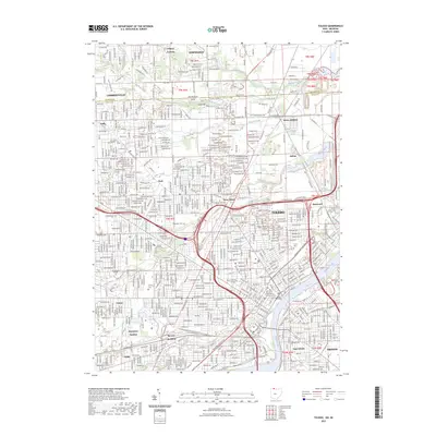 2023 Toledo2023 Print · USGSToledo and the Maumee River waterfront appear in extensive detail during the early twenty-first century. Researchers can trace the massive rail infrastructure at Air Line Junction and locate family landmarks like Calvary Cem or the University of Toledo.
 - 2023 Map of Deerfield, 2023 Print
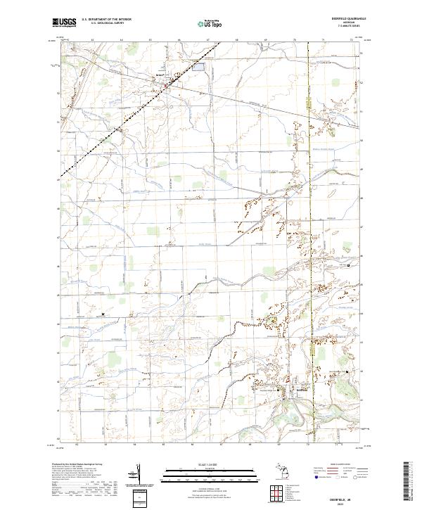 2023 Deerfield2023 Print · USGSSoutheast Michigan's rural landscape is captured here in the contemporary era, centered on the historic river crossings of the Lenawee county line. Genealogists and local historians can trace family burial sites at Saint Alphonsus Cem and Leib Cem or follow the intricate paths of Swamp Raisin Creek and the River Raisin.
 - 2023 Map of Blissfield, 2023 Print
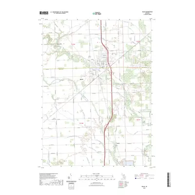
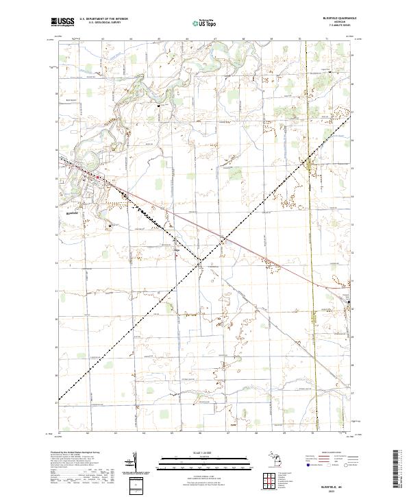 2023 Blissfield2023 Print · USGSSoutheastern Michigan's agricultural and drainage landscape is captured here in the early twenty-first century, centered on the River Raisin. Researchers can trace local genealogy and land use across the Lenawee and Monroe county line via Riga Cem, Crane Cem, and the village streets of Blissfield.
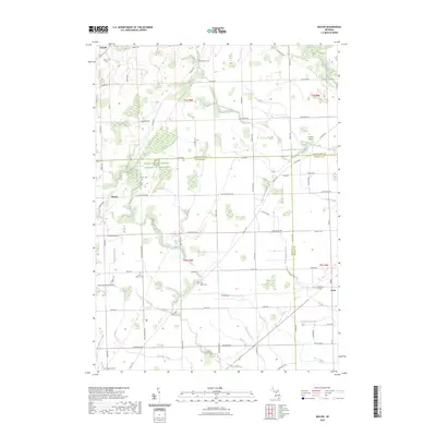
 - 2023 Map of Monroe, 2023 Print
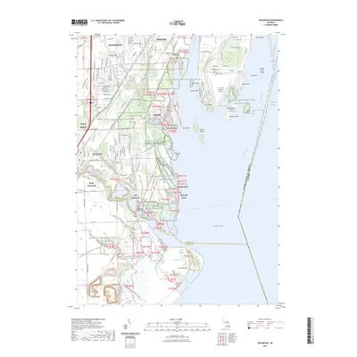
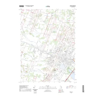 2023 Monroe2023 Print · USGSMonroe and its surrounding townships appear in high detail during this contemporary era of Michigan’s coastal development. Researchers can trace family history through local landmarks like Saint Joseph Cem, the Old Burial Ground, and the Monroe County Courthouse.
 - 2023 Map of Stony Point OE S, 2023 Print
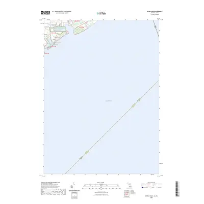
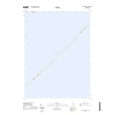 2023 Stony Point OE S2023 Print · USGSLake Erie and the coastal waters near the Michigan-Ohio border are shown in detail in this modern survey. Maritime researchers and historians can trace the exact state and county boundaries across the water, reaching from Monroe County to the shores of La Plaisance Bay.
 - 2023 Map of Dundee, 2023 Print
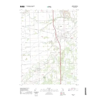 2023 Dundee2023 Print · USGSMonroe County agriculture and river life come into focus here during the early twenty-first century. Genealogists and historians can trace family plots at Oak Grove Cem or Wing Cem and explore the rail history near Petersburg Junction.
 - 2023 Map of Erie, 2023 Print
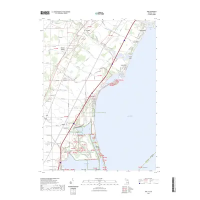 2023 Erie2023 Print · USGSThe Lake Erie shoreline in Monroe County is documented here in the early 2020s, showcasing the intersection of lakeside residency and coastal conservation. Researchers can trace local history through sites like Saint Joseph - Bay Settlement Cem and the Detroit River International Wildlife Refuge.
 - 2023 Map of Stony Point, 2023 Print
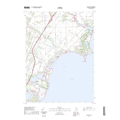 2023 Stony Point2023 Print · USGSThe Monroe County shoreline comes into sharp focus in this recent survey of its beach communities and wildlife refuges. Researchers can trace the layout of Woodland Beach, locate Saint Charles Cem, or explore the protected marshes of Sterling State Park.
 - 2023 Map of Estral Beach, 2023 Print
 2023 Estral Beach2023 Print · USGSEstral Beach occupies a narrow strip of Michigan’s Lake Erie coastline in the early 2020s, bordered by significant conservation lands. Researchers can trace the layout of the lakeshore community along Center St and its interface with the Detroit River International Wildlife Refuge.
 - 2023 Map of Flat Rock, 2023 Print
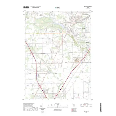 2023 Flat Rock2023 Print · USGSSoutheastern Michigan at the start of the 2020s shows a dense nexus of industry and transportation along the Huron River. Researchers can trace modern infrastructure and rail routes like the Grand Trunk Western RR alongside local centers such as Flat Rock and Woodhaven.
 - 2023 Map of Maybee, 2023 Print
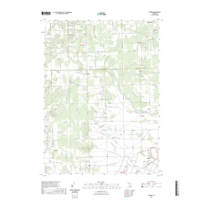 2023 Maybee2023 Print · USGSSoutheast Michigan's rural borderlands are documented here in the early twenty-first century, showing the persistent agricultural roots of Monroe and Washtenaw counties. Genealogists can locate several local burial sites including Pool Townsend Cem and Saint Pauls Cem near the village of Maybee.
 - 2023 Map of Rockwood, 2023 Print
 2023 Rockwood2023 Print · USGSThe Lower Detroit River and Lake Erie shoreline come into focus at the dawn of the 2020s, revealing a landscape of coastal wetlands and river-mouth towns. Researchers can trace the layout of Rockwood, locate family plots at Saint Marys Cem, or study the developed island geography of Gibraltar.
 - 2023 Map of Milan, 2023 Print
 2023 Milan2023 Print · USGSMilan and its rural surroundings in Washtenaw and Monroe counties appear in clear detail during the early 2020s. Genealogists can trace family burial sites at Marble Park Cem and Azalia Methodist Cem while exploring the banks of the Saline River.
 - 2023 Map of Macon, 2023 Print
 2023 Macon2023 Print · USGSThe rural landscape of Lenawee County and its neighbors is captured here during a period of modern agricultural stewardship. Genealogists can trace family footprints through sites like Macon Cem, Lake Ridge Cem, and the small crossroads at Benton.
 - 2023 Map of Carleton, 2023 Print
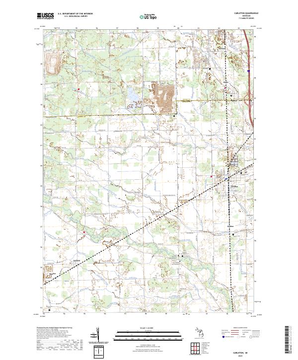 2023 Carleton2023 Print · USGSThe borderlands of Wayne and Monroe Counties appear here in the early twenty-first century, defined by agricultural drainages and historic village centers. Researchers can trace family roots at Saint Patrick's Cem or explore the layouts of Carleton, Waltz, and Maybee.
 - 2023 Map of Lambertville East, 2023 Print
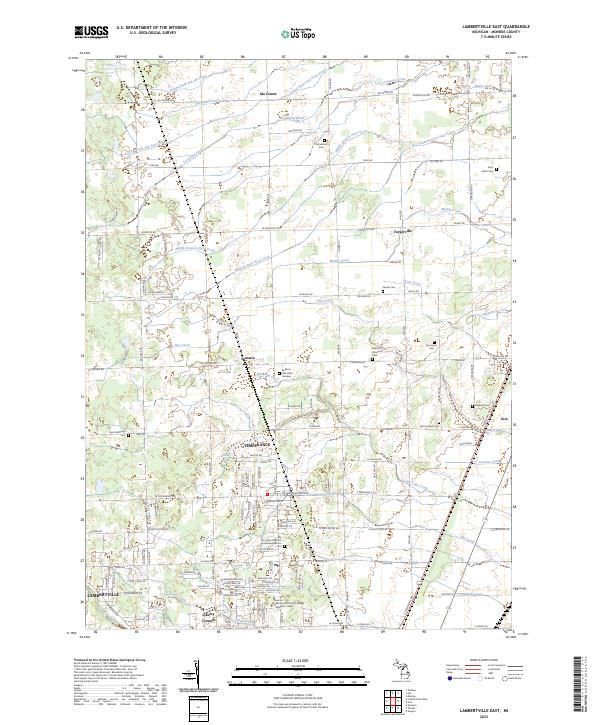 2023 Lambertville East2023 Print · USGSMonroe County is seen here in the early 2020s, illustrating the dense residential growth of Temperance and Lambertville near the state line. Genealogists can locate several burial grounds, including Erie Union Cem and Neriah Cem, and trace the reaches of Indian Creek and Flat Creek.
 - 2023 Map of Ida, 2023 Print
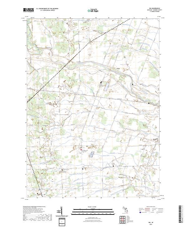 2023 Ida2023 Print · USGSMonroe County's rural townships are documented here in the early 2020s, showing a landscape defined by the River Raisin and the village of Ida. Researchers can trace family history through a high density of sites like Saint Matthew's Lutheran Cem and Lulu.
 - 2023 Map of Lambertville West, 2023 Print
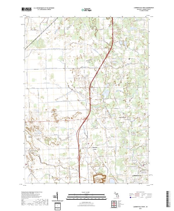 2023 Lambertville West2023 Print · USGSMonroe County, Michigan, is shown in the early twenty-first century as a landscape of agricultural heritage and modern growth. Trace local family roots and early settlements through Lambertville, Saint Anthony, and the historic Zion Cem.
End of results
Showing maps 1-21 of 21
Top cities of Monroe County
- Bedford Township historical maps
- Frenchtown Charter Township historical maps
- Monroe historical maps
- Monroe Charter Township historical maps
- Berlin Charter Township historical maps
- Ash Township historical maps
See more
Frequently asked questions
- What are the different types of historical maps available for Monroe County?
- What is the oldest map of Monroe County?
- Where can I purchase historical maps of Monroe County for my home or office?
- Where can I download high-res historical maps of Monroe County?
- Are there historical topographic maps available for Monroe County?
- Is there historical aerial imagery available for Monroe County?
- Where are historical maps of Monroe County sourced from?