2000s (21st Century) Maps of Troy, Michigan
Explore 10 historic maps of Troy from the 2000s (21st Century). These maps offer a rare glimpse into what life looked like during the 2000s — showing old roads, neighborhoods, homes, and landmarks that have changed or disappeared over time.
Whether you're researching your family's past, planning a metal detecting trip, or studying how Troy's landscape evolved across the 2000s, these high-resolution maps are a powerful tool for exploring the history of this region.
- Focus on a specific era: All maps on this page are from the 2000s, giving you a focused view of this time period.
- See what’s changed: Compare century-old streets, trails, and buildings to today's modern landscape using overlays and satellite layers.
- Research with precision: Use these maps for genealogy, historical research, land use analysis, or educational projects.
- View, download, or print: Maps are fully viewable online in high resolution, and can be downloaded or printed for your own records.
Start exploring Troy's history through authentic maps from the 2000s. This is your window into the past.
Troy, MI maps
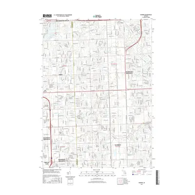
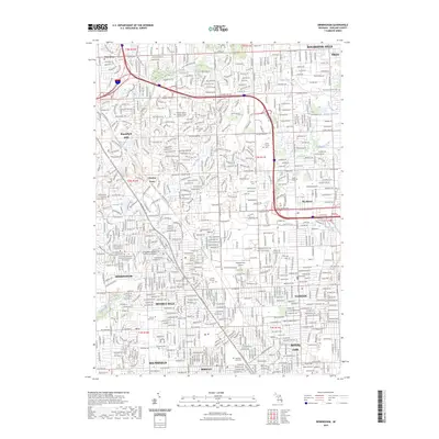
(10)- 2011 Map of Warren, 2011 Print
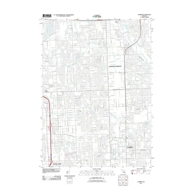 2011 Warren2011 Print · USGSCovers Troy, including Sterling Heights, Warren, and other nearby areas
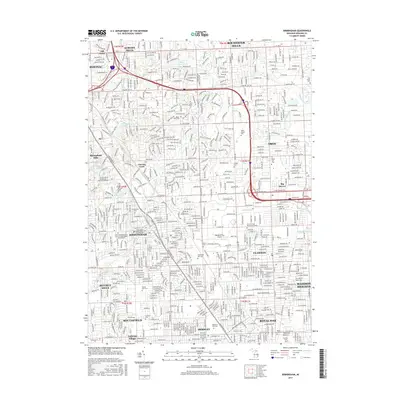
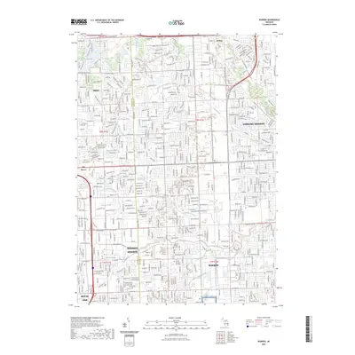
 - 2011 Map of Birmingham, 2011 Print
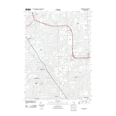 2011 Birmingham2011 Print · USGSCovers Troy, including Rochester Hills, Southfield, and other nearby areas
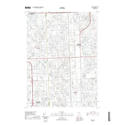
 - 2014 Map of Birmingham, 2014 Print
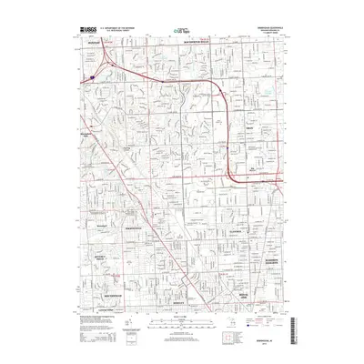 2014 Birmingham2014 Print · USGSCovers Troy, including Rochester Hills, Southfield, and other nearby areas
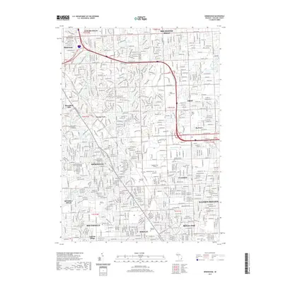
 - 2014 Map of Warren, 2014 Print
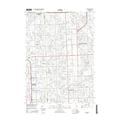 2014 Warren2014 Print · USGSCovers Troy, including Sterling Heights, Warren, and other nearby areas
 - 2017 Map of Warren, 2017 Print
 2017 Warren2017 Print · USGSCovers Troy, including Sterling Heights, Warren, and other nearby areas
 - 2017 Map of Birmingham, 2017 Print
 2017 Birmingham2017 Print · USGSCovers Troy, including Rochester Hills, Southfield, and other nearby areas
 - 2019 Map of Warren, 2019 Print
 2019 Warren2019 Print · USGSCovers Troy, including Sterling Heights, Warren, and other nearby areas
 - 2019 Map of Birmingham, 2019 Print
 2019 Birmingham2019 Print · USGSCovers Troy, including Rochester Hills, Southfield, and other nearby areas
 - 2023 Map of Birmingham, 2023 Print
 2023 Birmingham2023 Print · USGSThe Detroit suburbs of Oakland County are captured here in the 2020s, showcasing a mature landscape of residential grids and institutional grounds. Genealogists and local historians can map numerous local landmarks, from the Oakland/Troy Airport to the historic Greenwood Cem and White Chapel Cem.
 - 2023 Map of Warren, 2023 Print
 2023 Warren2023 Print · USGSWarren and Sterling Heights appear in this contemporary survey of the North Detroit suburbs at the start of the 2020s. Researchers can trace the modern layout of the Detroit Arsenal and locate local landmarks like the Troy Union Corners Cem and Big Beaver.
End of results
Showing maps 1-10 of 10
Top cities near Troy
- Detroit historical maps
- Sterling Heights historical maps
- Warren historical maps
- Clinton Township historical maps
- Livonia historical maps
- Macomb Township historical maps
See more
Top neighborhoods of Troy
Frequently asked questions
- What are the different types of historical maps available for Troy?
- What is the oldest map of Troy?
- Where can I purchase historical maps of Troy for my home or office?
- Where can I download high-res historical maps of Troy?
- Are there historical topographic maps available for Troy?
- Is there historical aerial imagery available for Troy?
- Where are historical maps of Troy sourced from?