2023 Map of Warren
USGS Topo · Published 2023About this map
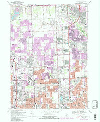
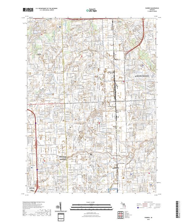
Warren and Sterling Heights anchor this 2023 survey of the dense suburban landscape north of Detroit. The area is characterized by an extensive network of managed waterways, including the Bear Creek and Red Run drainages, which weave through established residential and industrial zones. A significant military presence is marked by the Detroit Arsenal at the southern edge of the quadrangle. For those researching local history or genealogy, several burial grounds are documented, such as the Troy Union Corners Cem and the Detroit Memorial Park Cem. The map also captures the settlement of Big Beaver and institutional landmarks like the Carnegie Institute. The intricate grid of mile roads and local drains, such as the Gibson Drain and McCoy Drain, illustrates the complex engineering required to support the rapid growth of these Macomb County communities.
Find a feature on this map
57 named features on this map. Tap any name to fly to it.
Don’t see what you’re looking for? This feature index may not catch every label — zoom into the map to look around manually.
Map Details
Editions of this 2023 Warren Map
This is the sole edition of this map. No revisions or reprints were ever made.
Historical Maps of Troy Through Time
5 maps found