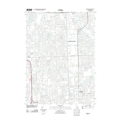
2011 Map of Warren
USGS Topo · Published 2011About this map
Sterling Heights and the northern reaches of Warren define this landscape, illustrating the dense suburban development of Macomb County in the early 21st century. The map reveals an intricate grid of residential streets organized around major arteries like Metropolitan Pkwy and 15 Mile Rd. Amidst this sprawl, local history is preserved at the Troy Union Cemetery and Holy Trinity Cemetery. The natural hydrology of the region is heavily managed through an extensive network of drainage systems, including the Gibson Drain, Sturgis Drain, and Lawson Drain, which channel water toward larger bodies like the Clinton River and Red Run. This survey offers a precise look at the transition between established communities like Utica and the industrial and residential blocks of Royal Oak and Big Beaver.
Find a feature on this map
38 named features on this map. Tap any name to fly to it.
Don’t see what you’re looking for? This feature index may not catch every label — zoom into the map to look around manually.
Map Details
Editions of this 2011 Warren Map
This is the sole edition of this map. No revisions or reprints were ever made.
Other maps of this area

1905 · Detroit
USGS Topo · 1:62,500

1905 · Grosse Pointe
USGS Topo · 1:62,500

1908 · Rochester
USGS Topo · 1:62,500

1912 · Mt Clemens
USGS Topo · 1:62,500

1918 · Detroit
USGS Topo · 1:62,500

1918 · Grosse Pointe
USGS Topo · 1:62,500

1924 · Detroit
USGS Topo · 1:62,500

1929 · Mt Clemens
USGS Topo · 1:62,500

1934 · Detroit
USGS Topo · 1:62,500

1936 · Warren
USGS Topo · 1:31,680