Old Maps of Highland Township, Michigan for Hiking & Exploration
Hike through history with 30 historic maps of Highland Township. Explore old trails, ghost towns, and forgotten backroads — perfect for outdoor adventurers and local explorers.
- Rediscover forgotten places: Map out old mining camps, roads, and footpaths that no longer exist on modern maps.
- Layer with modern tools: Combine with LiDAR or satellite views to plan hikes through historical terrain.
- Made for exploration: Popular among hikers, overlanders, and local history lovers.
Use these maps to find adventure and explore the hidden past of Highland Township.
Highland Township, MI maps
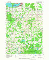
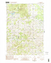
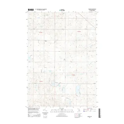
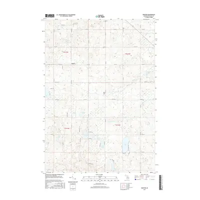
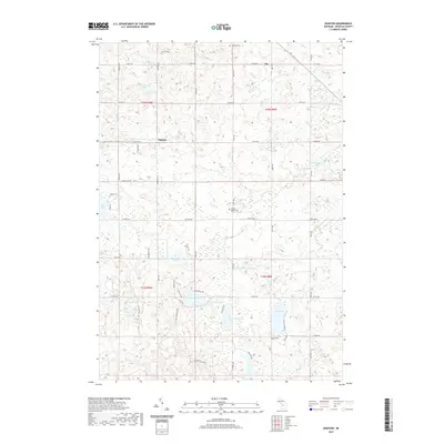
(30)- 1954 Map of Traverse City, 1965 Print
 1954 Traverse City1965 Print · USGSNorthern Michigan’s vast lakeshores and timberlands are captured here in the mid-fifties, showing the region before the modern interstate era. Genealogists and researchers can trace rail connections like the Detroit and Mackinac RR or find old communities such as Suttons Bay, Elk Rapids, and Prudenville.4 unique versions available
 - 1957 Map of Cadillac South, 1958 Print
 1957 Cadillac South1958 Print · USGSOsceola and Wexford Counties are shown in the late fifties as a landscape of dense state forests and quiet rail towns. Genealogists can trace family names through the Maple Hill Cem and Richland Cem, or locate long-gone sites like the Sherman Sch and Mineral Springs Oil Field.3 unique versions available
 - 1957 Map of Marion, 1958 Print
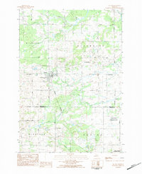
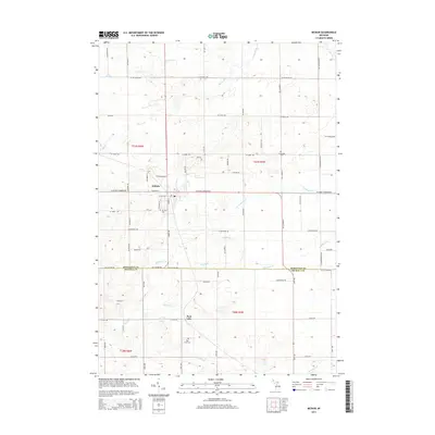
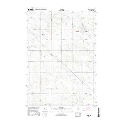
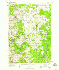 1957 Marion1958 Print · USGSNorthern Osceola and Missaukee counties are shown here in the late fifties, defined by the Ann Arbor rail line and the Clam River network. Researchers can trace rural landmarks like the Prosper Sch, Greenwood Cem, and the Oil and Gas Storage Field.2 unique versions available
 - 1958 Map of Traverse City
 1958 Traverse City1958 Print · USGSNorthern Lower Michigan was a landscape of vast state forests and burgeoning lakeside retreats in the late fifties. Genealogists and historians can trace the rail corridors of the Ann Arbor RR and find established settlements from Elk Rapids to Houghton Lake.2 unique versions available
 - 1983 Map of Dighton, 1984 Print
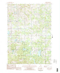 1983 Dighton1984 Print · USGSIn the early 1980s, this area of Osceola County shows a landscape of glacial lakes and quiet township corners. Genealogists and local historians can trace the foundations of Dighton and Ina, locating Highland Church and several cemeteries near the Pere Marquette State Forest.2 unique versions available
 - 1983 Map of Cadillac, 1984 Print
 1983 Cadillac1984 Print · USGSThe Cadillac region in the early eighties was defined by its vast public forests and the prominent dual lakes at its center. Trace the legacies of the timber era along the Old Railroad Grade or locate old rural centers like Vogel Center and Harrietta.
 - 1983 Map of Marion, 1984 Print
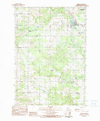 1983 Marion1984 Print · USGSOsceola County at the start of the eighties shows a landscape of established section-line farming and river-side industry. Researchers can locate family burial plots at Greenwood Cem or Cherry Valley Cem and trace the old Michigan Northern RR Grade through Marion.
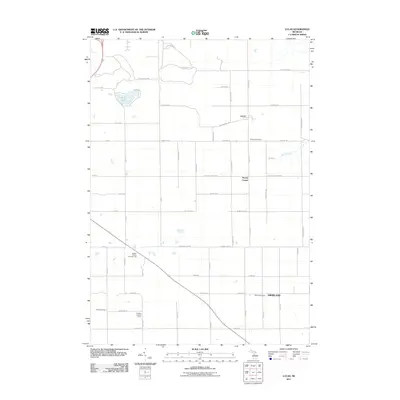
 - 1983 Map of Lucas, 1984 Print
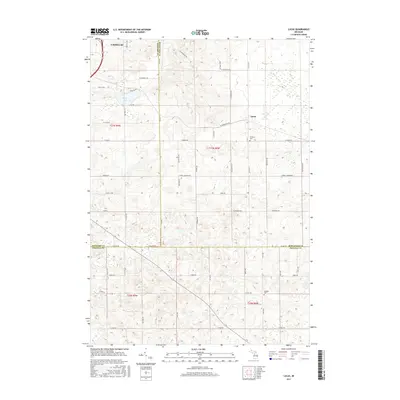
 1983 Lucas1984 Print · USGSMissaukee and Wexford counties are captured in the early eighties as a network of rural townships centered on the village of Lucas. Genealogists and local historians can trace family roots through sites like Richland Cem, the Lucas-McBain Sch, and the Michigan Northern railroad.2 unique versions available
 - 1983 Map of McBain, 1984 Print
 1983 McBain1984 Print · USGSMcBain and the surrounding townships of Missaukee County appear here in the early eighties as a patchwork of productive farmsteads and managed wetlands. Genealogists can locate family names and burial sites at Mt View Cem, Calvin Ch, and Park Lake Cem.
 - 1989 Map of Traverse City, 1990 Print
 1989 Traverse City1990 Print · USGSNorthern Michigan’s lake-country and forest lands are captured in the late eighties as seasonal tourism and timber hubs expanded. Genealogists and historians can trace the routes of the Ann Arbor RR, the boundaries of Camp Grayling, and settlements like Elk Rapids and Manton.
 - 2011 Map of Lucas, 2011 Print
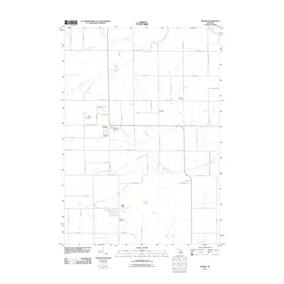
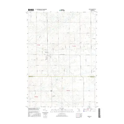
 2011 Lucas2011 Print · USGSCovers Highland Township, including Cadillac, Highland, and other nearby areas
 - 2011 Map of Dighton, 2011 Print
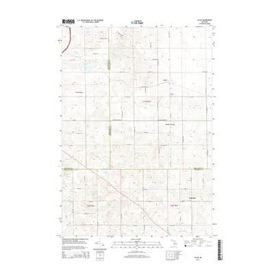
 2011 Dighton2011 Print · USGSCovers Highland Township, including Rose Lake Township, Sherman Township, and other nearby areas
 - 2011 Map of McBain, 2011 Print
 2011 McBain2011 Print · USGSCovers Highland Township, including McBain, Park Lake, and other nearby areas
 - 2011 Map of Marion, 2011 Print
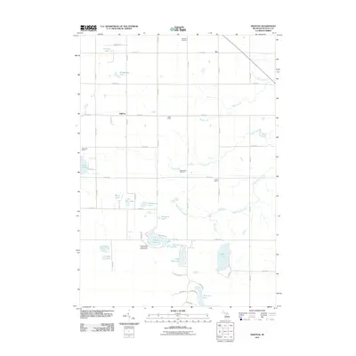
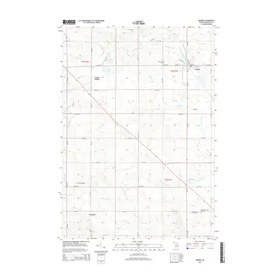
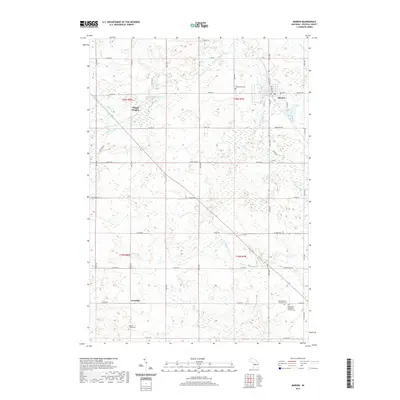
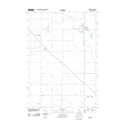 2011 Marion2011 Print · USGSCovers Highland Township, including Marion, Avondale, and other nearby areas
 - 2014 Map of Marion, 2014 Print
 2014 Marion2014 Print · USGSCovers Highland Township, including Marion, Avondale, and other nearby areas
 - 2014 Map of Lucas, 2014 Print
 2014 Lucas2014 Print · USGSCovers Highland Township, including Cadillac, Highland, and other nearby areas
 - 2014 Map of Dighton, 2014 Print
 2014 Dighton2014 Print · USGSCovers Highland Township, including Rose Lake Township, Sherman Township, and other nearby areas
 - 2014 Map of McBain, 2014 Print
 2014 McBain2014 Print · USGSCovers Highland Township, including McBain, Park Lake, and other nearby areas
 - 2017 Map of Marion, 2017 Print
 2017 Marion2017 Print · USGSCovers Highland Township, including Marion, Avondale, and other nearby areas
 - 2017 Map of Dighton, 2017 Print
 2017 Dighton2017 Print · USGSCovers Highland Township, including Rose Lake Township, Sherman Township, and other nearby areas
 - 2017 Map of McBain, 2017 Print
 2017 McBain2017 Print · USGSCovers Highland Township, including McBain, Park Lake, and other nearby areas
 - 2017 Map of Lucas, 2017 Print
 2017 Lucas2017 Print · USGSCovers Highland Township, including Cadillac, Highland, and other nearby areas
 - 2019 Map of Marion, 2019 Print
 2019 Marion2019 Print · USGSCovers Highland Township, including Marion, Avondale, and other nearby areas
 - 2019 Map of Lucas, 2019 Print
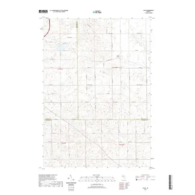 2019 Lucas2019 Print · USGSCovers Highland Township, including Cadillac, Highland, and other nearby areas
 - 2019 Map of Dighton, 2019 Print
 2019 Dighton2019 Print · USGSCovers Highland Township, including Rose Lake Township, Sherman Township, and other nearby areas
Showing maps 1-25 of 30
Top cities near Highland Township
- Cadillac historical maps
- Haring Charter Township historical maps
- Haring Township historical maps
- Evart historical maps
- Highland historical maps
- Lake City historical maps
See more
Top neighborhoods of Highland Township
Frequently asked questions
- What are the different types of historical maps available for Highland Township?
- What is the oldest map of Highland Township?
- Where can I purchase historical maps of Highland Township for my home or office?
- Where can I download high-res historical maps of Highland Township?
- Are there historical topographic maps available for Highland Township?
- Is there historical aerial imagery available for Highland Township?
- Where are historical maps of Highland Township sourced from?