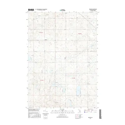
2017 Map of Dighton
USGS Topo · Published 2017About this map
Glacial kettle lakes and small rural settlements define this portion of Osceola County in the early twenty-first century. The village of Dighton sits at the intersection of 135th Ave and 19 Mile Rd, serving as a central point for the surrounding farm and forest lands. To the northeast, the hamlet of Ina marks the crossing of 21 Mile Rd, while family-named sites like Highland Cem and Maple Valley Cem provide touchstones for local genealogical research.
Find a feature on this map
60 named features on this map. Tap any name to fly to it.
Don’t see what you’re looking for? This feature index may not catch every label — zoom into the map to look around manually.
Map Details
Editions of this 2017 Dighton Map
This is the sole edition of this map. No revisions or reprints were ever made.
Other maps of this area

1954 · Traverse City
USGS Topo · 1:250,000

1954 · Midland
USGS Topo · 1:250,000

1957 · Cadillac South
USGS Topo · 1:62,500

1957 · Marion
USGS Topo · 1:62,500

1958 · Traverse City
USGS Topo · 1:250,000

1958 · Midland
USGS Topo · 1:250,000

1959 · Midland
USGS Topo · 1:250,000

1959 · Lake
USGS Topo · 1:62,500

1959 · Evart
USGS Topo · 1:62,500

1966 · Midland
USGS Topo · 1:250,000