2000s (21st Century) Maps of Allendale Charter Township, Michigan
Explore 25 historic maps of Allendale Charter Township from the 2000s (21st Century). These maps offer a rare glimpse into what life looked like during the 2000s — showing old roads, neighborhoods, homes, and landmarks that have changed or disappeared over time.
Whether you're researching your family's past, planning a metal detecting trip, or studying how Allendale Charter Township's landscape evolved across the 2000s, these high-resolution maps are a powerful tool for exploring the history of this region.
- Focus on a specific era: All maps on this page are from the 2000s, giving you a focused view of this time period.
- See what’s changed: Compare century-old streets, trails, and buildings to today's modern landscape using overlays and satellite layers.
- Research with precision: Use these maps for genealogy, historical research, land use analysis, or educational projects.
- View, download, or print: Maps are fully viewable online in high resolution, and can be downloaded or printed for your own records.
Start exploring Allendale Charter Township's history through authentic maps from the 2000s. This is your window into the past.
Allendale Charter Township, MI maps
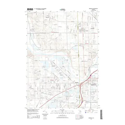
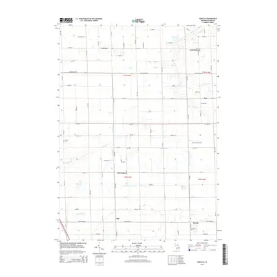
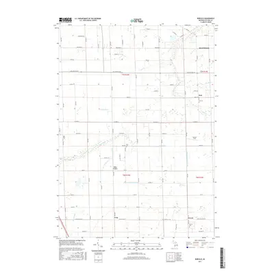
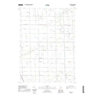
(25)- 2011 Map of Borculo, 2011 Print
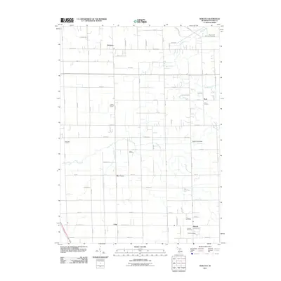 2011 Borculo2011 Print · USGSCovers Allendale Charter Township, including Blendon Township, Ottawa Station, and other nearby areas
 - 2011 Map of Allendale, 2011 Print
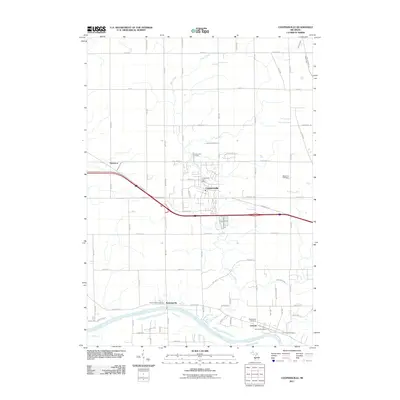
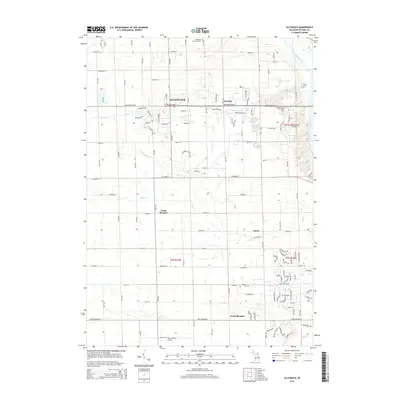
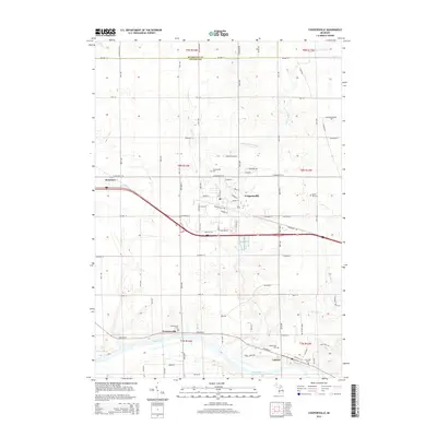
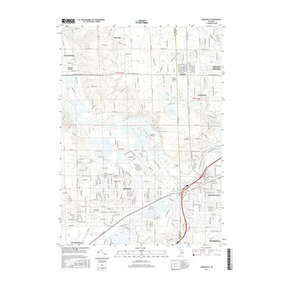
 2011 Allendale2011 Print · USGSCovers Allendale Charter Township, including Hudsonville, Blendon Township, and other nearby areas
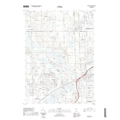
 - 2011 Map of Grandville, 2011 Print
 2011 Grandville2011 Print · USGSCovers Allendale Charter Township, including Grand Rapids, Wyoming, and other nearby areas
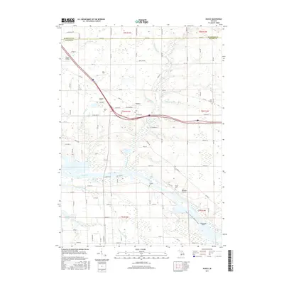
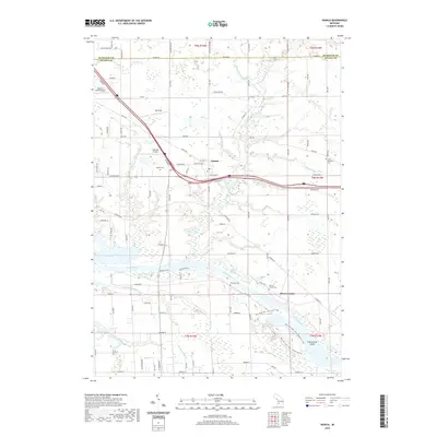
 - 2011 Map of Nunica, 2011 Print
 2011 Nunica2011 Print · USGSCovers Allendale Charter Township, including Fruitport Charter Township, Ravenna Township, and other nearby areas
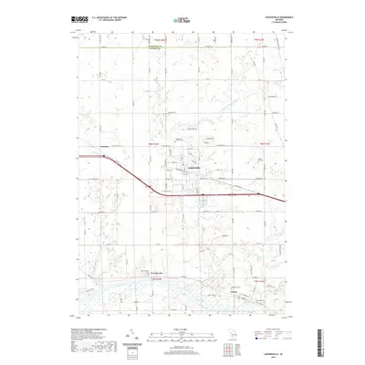
 - 2011 Map of Coopersville, 2011 Print
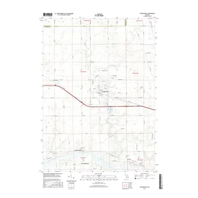
 2011 Coopersville2011 Print · USGSCovers Allendale Charter Township, including Coopersville, Ravenna Township, and other nearby areas
 - 2014 Map of Grandville, 2014 Print
 2014 Grandville2014 Print · USGSCovers Allendale Charter Township, including Grand Rapids, Wyoming, and other nearby areas
 - 2014 Map of Allendale, 2014 Print
 2014 Allendale2014 Print · USGSCovers Allendale Charter Township, including Hudsonville, Blendon Township, and other nearby areas
 - 2014 Map of Borculo, 2014 Print
 2014 Borculo2014 Print · USGSCovers Allendale Charter Township, including Blendon Township, Ottawa Station, and other nearby areas
 - 2014 Map of Coopersville, 2014 Print
 2014 Coopersville2014 Print · USGSCovers Allendale Charter Township, including Coopersville, Ravenna Township, and other nearby areas
 - 2014 Map of Nunica, 2014 Print
 2014 Nunica2014 Print · USGSCovers Allendale Charter Township, including Fruitport Charter Township, Ravenna Township, and other nearby areas
 - 2017 Map of Allendale, 2017 Print
 2017 Allendale2017 Print · USGSCovers Allendale Charter Township, including Hudsonville, Blendon Township, and other nearby areas
 - 2017 Map of Nunica, 2017 Print
 2017 Nunica2017 Print · USGSCovers Allendale Charter Township, including Fruitport Charter Township, Ravenna Township, and other nearby areas
 - 2017 Map of Grandville, 2017 Print
 2017 Grandville2017 Print · USGSCovers Allendale Charter Township, including Grand Rapids, Wyoming, and other nearby areas
 - 2017 Map of Coopersville, 2017 Print
 2017 Coopersville2017 Print · USGSCovers Allendale Charter Township, including Coopersville, Ravenna Township, and other nearby areas
 - 2017 Map of Borculo, 2017 Print
 2017 Borculo2017 Print · USGSCovers Allendale Charter Township, including Blendon Township, Ottawa Station, and other nearby areas
 - 2019 Map of Allendale, 2019 Print
 2019 Allendale2019 Print · USGSCovers Allendale Charter Township, including Hudsonville, Blendon Township, and other nearby areas
 - 2019 Map of Borculo, 2019 Print
 2019 Borculo2019 Print · USGSCovers Allendale Charter Township, including Blendon Township, Ottawa Station, and other nearby areas
 - 2019 Map of Grandville, 2019 Print
 2019 Grandville2019 Print · USGSCovers Allendale Charter Township, including Grand Rapids, Wyoming, and other nearby areas
 - 2019 Map of Nunica, 2019 Print
 2019 Nunica2019 Print · USGSCovers Allendale Charter Township, including Fruitport Charter Township, Ravenna Township, and other nearby areas
 - 2019 Map of Coopersville, 2019 Print
 2019 Coopersville2019 Print · USGSCovers Allendale Charter Township, including Coopersville, Ravenna Township, and other nearby areas
 - 2023 Map of Nunica, 2023 Print
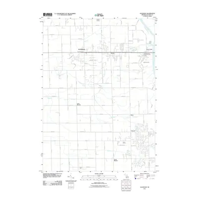
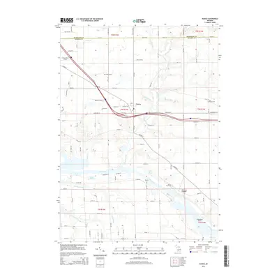
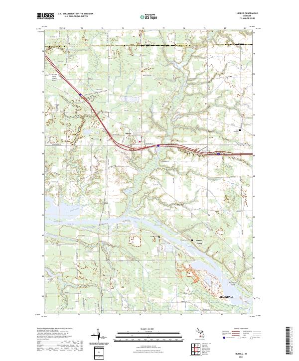 2023 Nunica2023 Print · USGSOttawa County's riverine landscape is captured here in the early 2020s, centered on the winding Grand River and the village of Nunica. Researchers can trace local lineage through several sites like Saint Michael's Cem and explore the riparian geography of Jubb Bayou and Fishermans Island.
 - 2023 Map of Borculo, 2023 Print
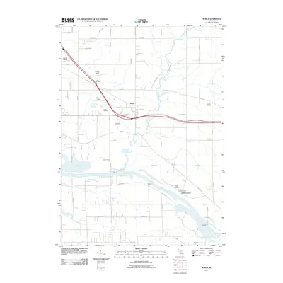
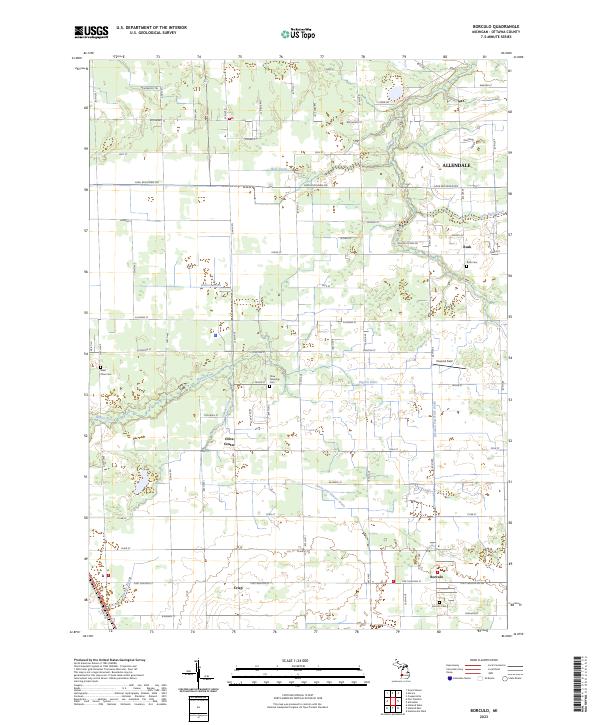 2023 Borculo2023 Print · USGSOttawa County's agricultural heartland is documented here in the early 2020s, showing the enduring structure of its rural townships and waterways. Researchers can trace family history through several local landmarks like Borculo Cem, Olive Center, and the settlement of Rusk.
 - 2023 Map of Coopersville, 2023 Print
 2023 Coopersville2023 Print · USGSOttawa County in the early 2020s shows a landscape where the Grand River corridor meets established towns. Genealogists and historians can locate family sites at Coopersville-Polkton Cem, Eastmanville, and the Maplewood Cem near Lamont.
 - 2023 Map of Allendale, 2023 Print
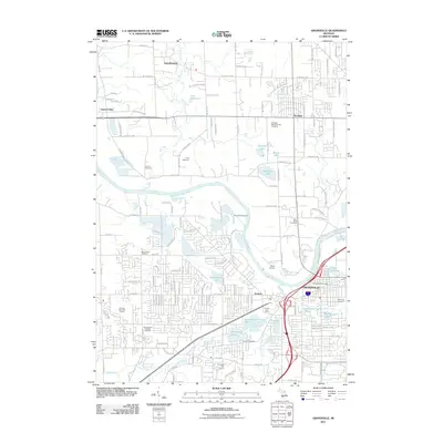
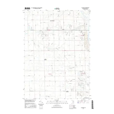
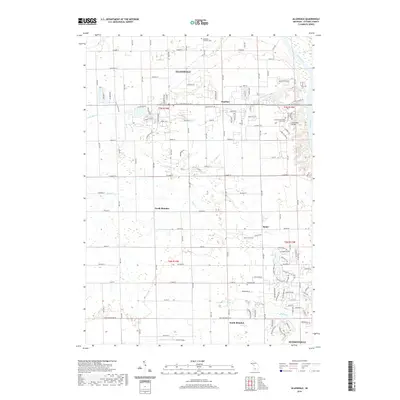
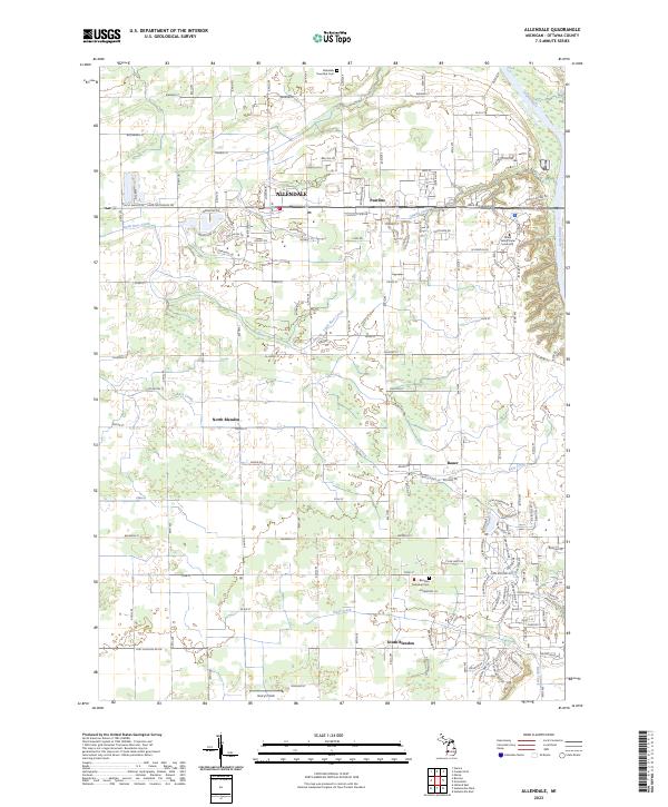 2023 Allendale2023 Print · USGSOttawa County's growing collegiate and residential landscape is captured here as the modern era transforms traditional township life. Researchers can trace the development of Grand Valley State University alongside local landmarks like Allendale Township Cem and the crossroads of Bauer.
 - 2023 Map of Grandville, 2023 Print
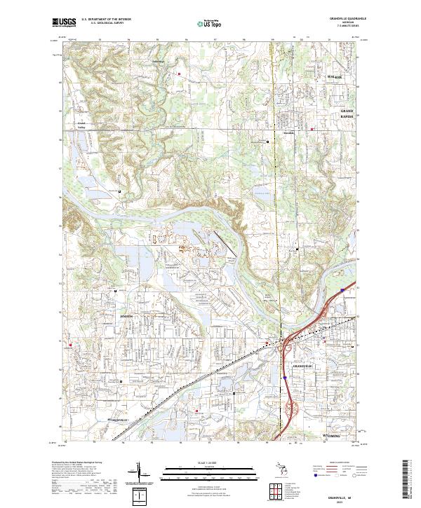 2023 Grandville2023 Print · USGSThe Grand River corridor southwest of Grand Rapids shows a landscape of suburban growth and established community landmarks in the early twenty-first century. Genealogists and local historians can trace family sites at Grandville Cem, Jenison Cem, and the River Bend Cem near the river's edge.
End of results
Showing maps 1-25 of 25
Top cities near Allendale Charter Township
- Grand Rapids historical maps
- Wyoming historical maps
- Muskegon historical maps
- Holland historical maps
- Byron Township historical maps
- Walker historical maps
See more
Top neighborhoods of Allendale Charter Township
Frequently asked questions
- What are the different types of historical maps available for Allendale Charter Township?
- What is the oldest map of Allendale Charter Township?
- Where can I purchase historical maps of Allendale Charter Township for my home or office?
- Where can I download high-res historical maps of Allendale Charter Township?
- Are there historical topographic maps available for Allendale Charter Township?
- Is there historical aerial imagery available for Allendale Charter Township?
- Where are historical maps of Allendale Charter Township sourced from?