2000s (21st Century) Maps of Presque Isle County, Michigan
Explore 120 historic maps of Presque Isle County from the 2000s (21st Century). These maps offer a rare glimpse into what life looked like during the 2000s — showing old roads, neighborhoods, homes, and landmarks that have changed or disappeared over time.
Whether you're researching your family's past, planning a metal detecting trip, or studying how Presque Isle County's landscape evolved across the 2000s, these high-resolution maps are a powerful tool for exploring the history of this region.
- Focus on a specific era: All maps on this page are from the 2000s, giving you a focused view of this time period.
- See what’s changed: Compare century-old streets, trails, and buildings to today's modern landscape using overlays and satellite layers.
- Research with precision: Use these maps for genealogy, historical research, land use analysis, or educational projects.
- View, download, or print: Maps are fully viewable online in high resolution, and can be downloaded or printed for your own records.
Start exploring Presque Isle County's history through authentic maps from the 2000s. This is your window into the past.
Presque Isle County, MI maps
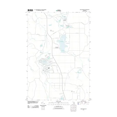
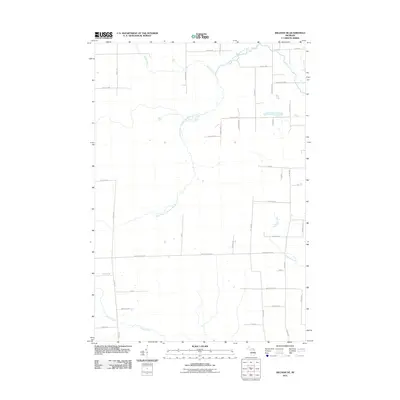
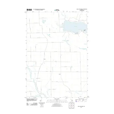
(120)- 2011 Map of Adams Point, 2011 Print
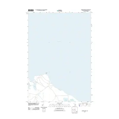 2011 Adams Point2011 Print · USGSCovers Presque Isle County, including Pulawski Township, United States, and other nearby areas
 - 2011 Map of Polaski, 2011 Print
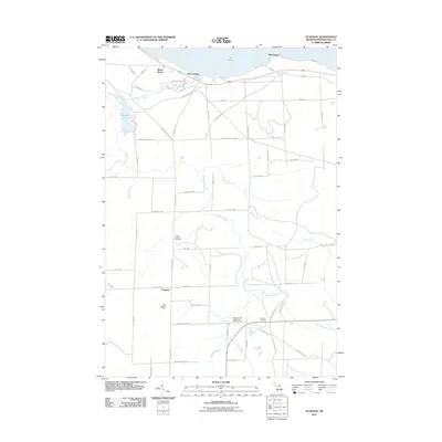
 2011 Polaski2011 Print · USGSCovers Presque Isle County, including Long Rapids, Posen Township, and other nearby areas
 - 2011 Map of Black Lake Bluffs, 2011 Print
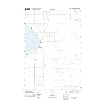 2011 Black Lake Bluffs2011 Print · USGSCovers Presque Isle County, including Waverly Township, Black Lake Bluffs, and other nearby areas
 - 2011 Map of Manning, 2011 Print
 2011 Manning2011 Print · USGSCovers Presque Isle County, including Benton Township, Aloha Township, and other nearby areas
 - 2011 Map of Lake Geneva, 2011 Print
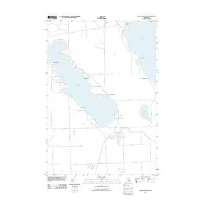
 2011 Lake Geneva2011 Print · USGSCovers Presque Isle County, including Canada Creek Ranch, Montmorency Township, and other nearby areas
 - 2011 Map of Ocqueoc, 2011 Print
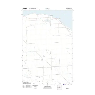
 2011 Ocqueoc2011 Print · USGSCovers Presque Isle County, including Ocqueoc, Moltke Township, and other nearby areas
 - 2011 Map of Grace OE E, 2011 Print
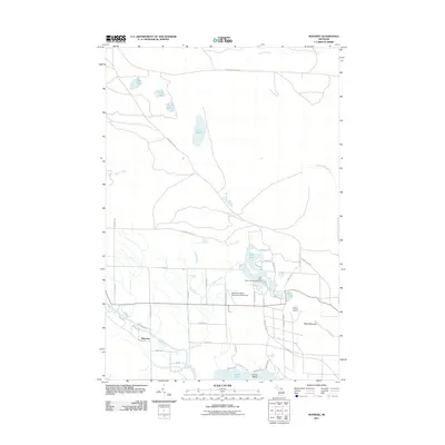
 2011 Grace OE E2011 Print · USGSCovers Presque Isle County, including Bearinger Township, Ocqueoc Township, and other nearby areas
 - 2011 Map of Onaway, 2011 Print
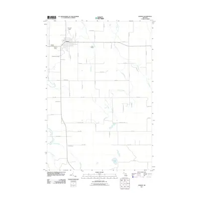 2011 Onaway2011 Print · USGSCovers Presque Isle County, including Onaway, Case Township, and other nearby areas
 - 2011 Map of Cranberry Lake, 2011 Print
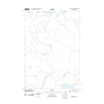 2011 Cranberry Lake2011 Print · USGSCovers Presque Isle County, including Case Township, Montmorency Township, and other nearby areas
 - 2011 Map of Ninemile Point, 2011 Print
 2011 Ninemile Point2011 Print · USGSCovers Presque Isle County, including Benton Township, Bearinger Township, and other nearby areas
 - 2011 Map of Hillman NE, 2011 Print
 2011 Hillman NE2011 Print · USGSCovers Presque Isle County, including Wellington Township, Posen Township, and other nearby areas
 - 2011 Map of Rogers City, 2011 Print
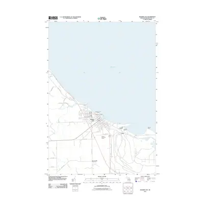 2011 Rogers City2011 Print · USGSCovers Presque Isle County, including Rogers City, Bruningville, and other nearby areas
 - 2011 Map of Hawks, 2011 Print
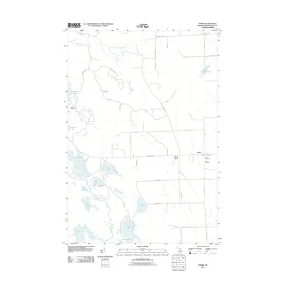 2011 Hawks2011 Print · USGSCovers Presque Isle County, including Moltke Township, Big Cut, and other nearby areas
 - 2011 Map of Long Lake West, 2011 Print
 2011 Long Lake West2011 Print · USGSCovers Presque Isle County, including Presque Isle Township, Bolton, and other nearby areas
 - 2011 Map of Thompsons Harbor, 2011 Print
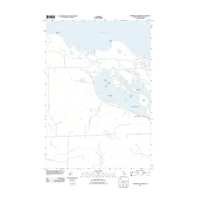 2011 Thompsons Harbor2011 Print · USGSCovers Presque Isle County, including Presque Isle Township, Krakow Township, and other nearby areas
 - 2011 Map of Presque Isle, 2011 Print
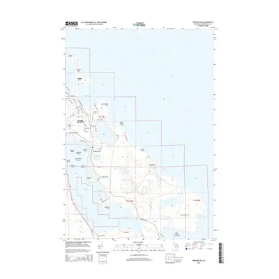
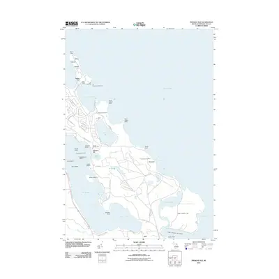 2011 Presque Isle2011 Print · USGSCovers Presque Isle County, including Presque Isle, Presque Isle Township, and other nearby areas
 - 2011 Map of Royston, 2011 Print
 2011 Royston2011 Print · USGSCovers Presque Isle County, including Wellington Township, Montmorency Township, and other nearby areas
 - 2011 Map of Moltke, 2011 Print
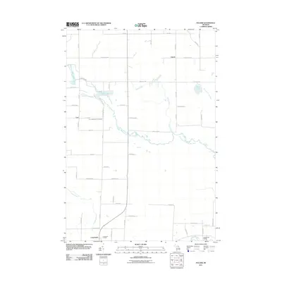
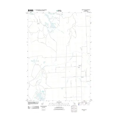
 2011 Moltke2011 Print · USGSCovers Presque Isle County, including Moltke, Moltke Township, and other nearby areas
 - 2011 Map of Metz, 2011 Print
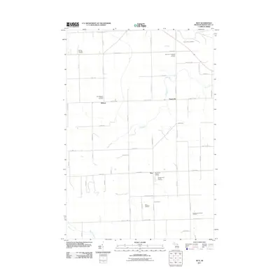 2011 Metz2011 Print · USGSCovers Presque Isle County, including Belknap, Metz, and other nearby areas
 - 2011 Map of Long Lake East, 2011 Print
 2011 Long Lake East2011 Print · USGSCovers Presque Isle County, including Presque Isle Township, Ashland, and other nearby areas
 - 2011 Map of Posen, 2011 Print
 2011 Posen2011 Print · USGSCovers Presque Isle County, including Posen, Posen Township, and other nearby areas
 - 2011 Map of Millersburg, 2011 Print
 2011 Millersburg2011 Print · USGSCovers Presque Isle County, including Millersburg, Moltke Township, and other nearby areas
 - 2011 Map of Cordwood Point, 2011 Print
 2011 Cordwood Point2011 Print · USGSCovers Presque Isle County, including Bois Blanc Township, Benton Township, and other nearby areas
 - 2011 Map of Grace, 2011 Print
 2011 Grace2011 Print · USGSCovers Presque Isle County, including Grace, Bearinger Township, and other nearby areas
 - 2014 Map of Presque Isle, 2014 Print
 2014 Presque Isle2014 Print · USGSCovers Presque Isle County, including Presque Isle, Presque Isle Township, and other nearby areas
Showing maps 1-25 of 120
Top cities of Presque Isle County
Frequently asked questions
- What are the different types of historical maps available for Presque Isle County?
- What is the oldest map of Presque Isle County?
- Where can I purchase historical maps of Presque Isle County for my home or office?
- Where can I download high-res historical maps of Presque Isle County?
- Are there historical topographic maps available for Presque Isle County?
- Is there historical aerial imagery available for Presque Isle County?
- Where are historical maps of Presque Isle County sourced from?