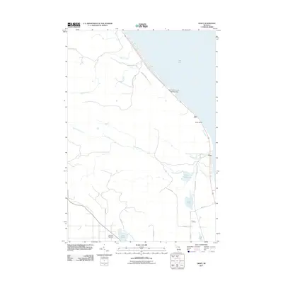
2011 Map of Grace
USGS Topo · Published 2011About this map
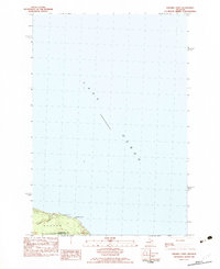
Lake Huron defines the northeastern edge of this Bearinger Township landscape, where the shoreline is punctuated by Highway Point and Mast Point. This 2011 survey captures the transition from the lakefront to the inland forests and marshes of Presque Isle County. The coastal settlement at Huron Beach and the inland community of Grace serve as primary points of habitation, connected by a network of rural roads such as Beach Hwy and Ocqueoc Lake Rd.
Find a feature on this map
30 named features on this map. Tap any name to fly to it.
Don’t see what you’re looking for? This feature index may not catch every label — zoom into the map to look around manually.
Map Details
Editions of this 2011 Grace Map
This is the sole edition of this map. No revisions or reprints were ever made.
Other maps of this area

1955 · Cheboygan
USGS Topo · 1:250,000
1957 · Tower
USGS Topo · 1:62,500
1957 · Cheboygan
USGS Topo · 1:62,500
1957 · Onaway
USGS Topo · 1:62,500

1958 · Cheboygan
USGS Topo · 1:250,000
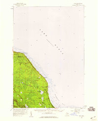
1958 · Grace
USGS Topo · 1:62,500
1982 · Petoskey
USGS Topo · 1:100,000
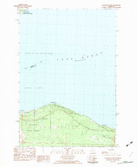
1982 · Cordwood Point
USGS Topo · 1:25,000
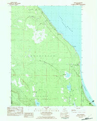
1982 · Grace
USGS Topo · 1:24,000
1982 · Nilemile Point
USGS Topo · 1:25,000