Old Maps of Posen Township, Michigan for Metal Detecting
Plan your next treasure hunt with 30 historic maps of Posen Township. Find old homesites, ghost towns, trails, and gathering spots that may be lost to time — perfect for identifying promising metal detecting locations.
- Locate forgotten sites: Uncover places like long-lost settlements, abandoned rail lines, or gathering spots.
- Plan better hunts: Use map overlays combined with LiDAR or satellite views to narrow in on historically rich areas.
- Made for detectorists: Thousands of hobbyists use these maps to discover relics, coins, and hidden history.
Use these historic maps to boost your research and find new opportunities beneath the surface of Posen Township.
Posen Township, MI maps
(30)- 1954 Map of Alpena, 1978 Print
 1954 Alpena1978 Print · USGSThe northern waters of Lake Huron meet the Ontario islands during the mid-1950s, a time of active coastal shipping and timber management. Genealogists and historians can trace the Detroit and Mackinac rail line through Alpena or locate rural landmarks like St. Catharine Ch and Forty Mile Point.2 unique versions available
 - 1955 Map of Hillman, 1956 Print
 1955 Hillman1956 Print · USGSThe village of Hillman and its surrounding forest lands are documented here during the mid-1950s. Local researchers can trace family roots through numerous rural sites like St Johns Ch, Babcock Sch, and the Hillman Cemetery.3 unique versions available
 - 1957 Map of Alpena
 1957 Alpena1957 Print · USGSNortheast Michigan and the islands of the North Channel are captured in the mid-1950s, showing the vital maritime and rail connections of the region. Researchers can trace the path of the Detroit and Mackinac RR or locate small settlements like Meldrum Bay and Lachine.
 - 1958 Map of Alpena
 1958 Alpena1958 Print · USGSThe northern reaches of Lake Huron and the Ontario islands are mapped here in the late fifties. You can trace the Detroit and Mackinac RR through Rogers City or locate remote outposts like Meldrum Bay and St. Vital church.
 - 1969 Map of Alpena
 1969 Alpena1969 Print · USGSThe Lake Huron coastline and the Manitoulin islands come alive in this mid-century survey of the Michigan-Ontario border. Genealogists and historians can trace the Detroit and Mackinac rail line through settlements like Lachine and Cathro, or locate the numerous island reservations including Obigewong Indian Reservation No 21.
 - 1971 Map of Metz, 1974 Print
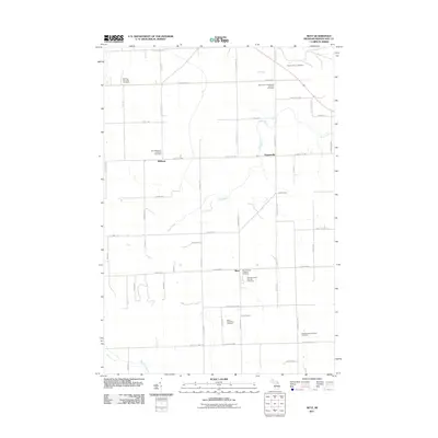
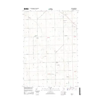
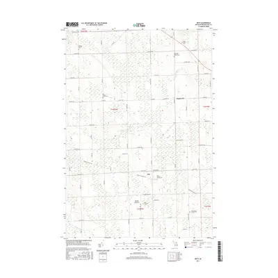
 1971 Metz1974 Print · USGSMetz and the surrounding Presque Isle County countryside appear in the early 1970s as a landscape of timber, rail, and rural townships. Genealogists can locate family landmarks like Township Cem and St Johns Ch or trace the Detroit and Mackinac railroad line.
 - 1971 Map of Polaski, 1974 Print
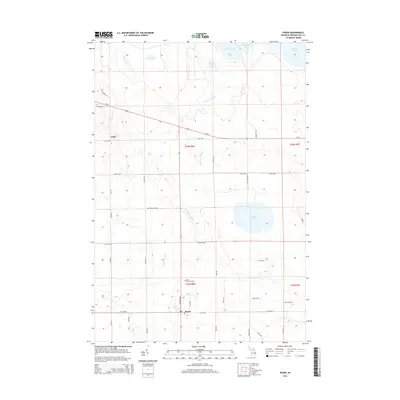
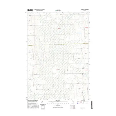
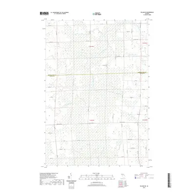
 1971 Polaski1974 Print · USGSAlpena and Presque Isle counties are captured in the early seventies, showing a landscape defined by state forest land and the Detroit and Mackinac Railroad. Local historians can trace family-named roads and rural church sites like St Pauls Ch, Leer Ch, and the settlement of Long Rapids.
 - 1971 Map of Posen, 1974 Print
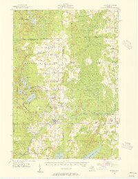
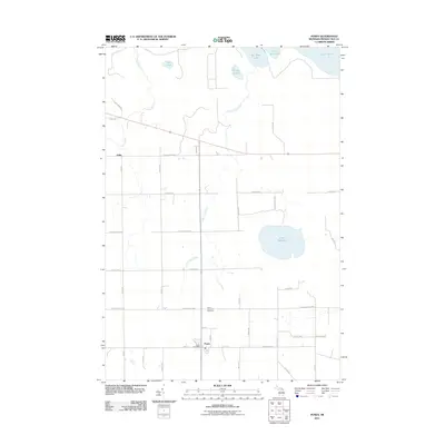
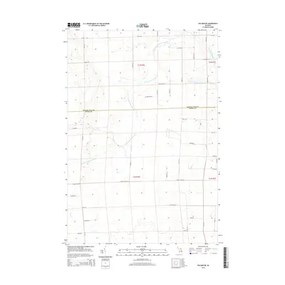
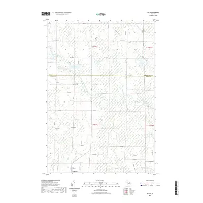
 1971 Posen1974 Print · USGSPresque Isle County comes into focus in the 1970s, centered on the village of Posen and its rail connections. Genealogists and local historians can trace the foundations of the community through St Casimir Sch, the Cem, and rural routes like Leer Road.
 - 1984 Map of Alpena
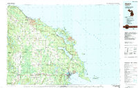 1984 Alpena1984 Print · USGSThe Lake Huron shoreline in the 1980s reveals a region defined by maritime industry, timberlands, and vast inland waters. Genealogists and historians can trace the Detroit and Mackinac Railroad past old settlements like Posen, Hagensville, and the harbor at Rockport.
 - 1986 Map of Hillman NE
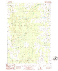 1986 Hillman NE1986 Print · USGSNortheastern Michigan in the mid-1980s reveals a landscape of dense state timberlands and winding river systems. Local historians can trace property lines through Metz and Wellington or locate landmarks like Long Swamp and the Gravel Pit.
 - 2011 Map of Polaski, 2011 Print
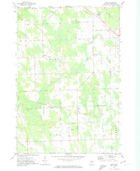
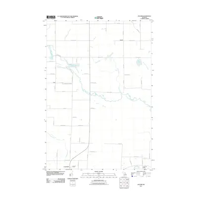 2011 Polaski2011 Print · USGSCovers Posen Township, including Long Rapids, Long Rapids Township, and other nearby areas
 - 2011 Map of Hillman NE, 2011 Print
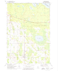
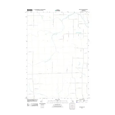 2011 Hillman NE2011 Print · USGSCovers Posen Township, including Wellington Township, Long Rapids Township, and other nearby areas
 - 2011 Map of Metz, 2011 Print
 2011 Metz2011 Print · USGSCovers Posen Township, including Belknap, Metz, and other nearby areas
 - 2011 Map of Posen, 2011 Print
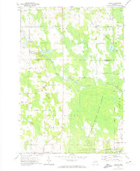
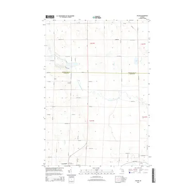
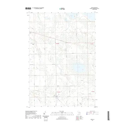
 2011 Posen2011 Print · USGSCovers Posen Township, including Posen, Krakow Township, and other nearby areas
 - 2014 Map of Posen, 2014 Print
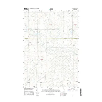
 2014 Posen2014 Print · USGSCovers Posen Township, including Posen, Krakow Township, and other nearby areas
 - 2014 Map of Metz, 2014 Print
 2014 Metz2014 Print · USGSCovers Posen Township, including Belknap, Metz, and other nearby areas
 - 2014 Map of Hillman NE, 2014 Print
 2014 Hillman NE2014 Print · USGSCovers Posen Township, including Wellington Township, Long Rapids Township, and other nearby areas
 - 2014 Map of Polaski, 2014 Print
 2014 Polaski2014 Print · USGSCovers Posen Township, including Long Rapids, Long Rapids Township, and other nearby areas
 - 2017 Map of Polaski, 2017 Print
 2017 Polaski2017 Print · USGSCovers Posen Township, including Long Rapids, Long Rapids Township, and other nearby areas
 - 2017 Map of Posen, 2017 Print
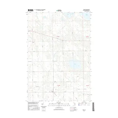 2017 Posen2017 Print · USGSCovers Posen Township, including Posen, Krakow Township, and other nearby areas
 - 2017 Map of Metz, 2017 Print
 2017 Metz2017 Print · USGSCovers Posen Township, including Belknap, Metz, and other nearby areas
 - 2017 Map of Hillman NE, 2017 Print
 2017 Hillman NE2017 Print · USGSCovers Posen Township, including Wellington Township, Long Rapids Township, and other nearby areas
 - 2019 Map of Polaski, 2019 Print
 2019 Polaski2019 Print · USGSCovers Posen Township, including Long Rapids, Long Rapids Township, and other nearby areas
 - 2019 Map of Hillman NE, 2019 Print
 2019 Hillman NE2019 Print · USGSCovers Posen Township, including Wellington Township, Long Rapids Township, and other nearby areas
 - 2019 Map of Posen, 2019 Print
 2019 Posen2019 Print · USGSCovers Posen Township, including Posen, Krakow Township, and other nearby areas
Showing maps 1-25 of 30
Top cities near Posen Township
- Alpena historical maps
- Rogers City historical maps
- Hillman historical maps
- Presque Isle historical maps
- Long Rapids historical maps
- Belknap historical maps
See more
Top neighborhoods of Posen Township
Frequently asked questions
- What are the different types of historical maps available for Posen Township?
- What is the oldest map of Posen Township?
- Where can I purchase historical maps of Posen Township for my home or office?
- Where can I download high-res historical maps of Posen Township?
- Are there historical topographic maps available for Posen Township?
- Is there historical aerial imagery available for Posen Township?
- Where are historical maps of Posen Township sourced from?