
1971 Map of Metz
USGS Topo · Published 1974About this map
The Detroit and Mackinac railroad tracks cut a diagonal line through the center of this rural Presque Isle County landscape, connecting the small settlement of Metz to the surrounding agricultural and timber lands. The area is defined by a grid of named local highways and roads, such as West Mill Highway and Hagensville Road, reflecting a mid-century community structured around family farms and township centers. Several community anchors are documented, including the Townhall in Belknap, St Johns Ch near the banks of the Swan River, and the Mount Calvary Cemetery to the north. Resource extraction is evident through numerous Gravel Pits and a substantial Quarry near the northern boundary, while the winding paths of the Trout River and Quinn Creek suggest the natural drainage patterns that dictated early land use and property boundaries.
Find a feature on this map
44 named features on this map. Tap any name to fly to it.
Don’t see what you’re looking for? This feature index may not catch every label — zoom into the map to look around manually.
Map Details
Editions of this 1971 Metz Map
This is the sole edition of this map. No revisions or reprints were ever made.
Other maps of this area

1954 · Alpena
USGS Topo · 1:250,000

1955 · Hillman
USGS Topo · 1:62,500

1957 · Alpena
USGS Topo · 1:250,000

1958 · Alpena
USGS Topo · 1:250,000

1969 · Alpena
USGS Topo · 1:250,000

1971 · Rogers City
USGS Topo · 1:24,000

1971 · Hawks
USGS Topo · 1:24,000
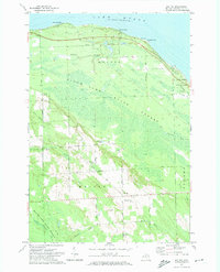
1971 · Moltke
USGS Topo · 1:24,000
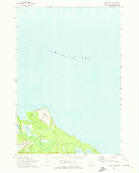
1971 · Adams Point
USGS Topo · 1:24,000

1971 · Polaski
USGS Topo · 1:24,000