
1971 Map of Polaski
USGS Topo · Published 1974About this map
Thunder Bay River State Forest dominates the eastern half of this 1970s landscape, where the North Branch Thunder Bay River winds through the heart of Presque Isle and Alpena counties. The settlement pattern is defined by rural hubs like Polaski, Leer, and Long Rapids, connected by a grid of named local routes such as Leer Rd and Sunken Lake Rd. A prominent technological and industrial feature is the Detroit and Mackinac Railroad corridor, which cuts diagonally across the northern townships of Posen and Krakow.
Find a feature on this map
47 named features on this map. Tap any name to fly to it.
Don’t see what you’re looking for? This feature index may not catch every label — zoom into the map to look around manually.
Map Details
Editions of this 1971 Polaski Map
This is the sole edition of this map. No revisions or reprints were ever made.
Other maps of this area

1954 · Alpena
USGS Topo · 1:250,000

1955 · Hillman
USGS Topo · 1:62,500

1957 · Alpena
USGS Topo · 1:250,000

1958 · Alpena
USGS Topo · 1:250,000

1969 · Alpena
USGS Topo · 1:250,000

1971 · Lake Winyah
USGS Topo · 1:24,000

1971 · Long Lake West
USGS Topo · 1:24,000

1971 · Metz
USGS Topo · 1:24,000
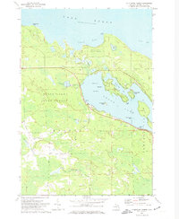
1971 · Thompsons Harbor
USGS Topo · 1:24,000
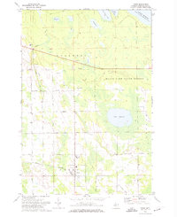
1971 · Posen
USGS Topo · 1:24,000