Old Maps of Presque Isle Township, Michigan for Academic Research
Study the evolution of Presque Isle Township with 29 high-resolution historic maps. Whether you're teaching, researching, or modeling changes in land use, these maps provide essential visual documentation of urban, environmental, and geographic change.
- Analyze long-term change: Track patterns in development, transportation, and natural features.
- Ideal for environmental or urban studies: Support academic projects with primary historical map data.
- Use in the classroom or lab: Educators and researchers rely on these maps to bring historical context to life.
These maps are a powerful tool for teaching, research, and visualizing how Presque Isle Township has changed over the decades.
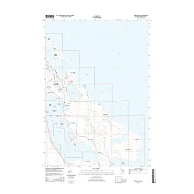
Presque Isle Township, MI maps
(29)- 1954 Map of Alpena, 1978 Print
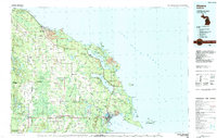
 1954 Alpena1978 Print · USGSThe northern waters of Lake Huron meet the Ontario islands during the mid-1950s, a time of active coastal shipping and timber management. Genealogists and historians can trace the Detroit and Mackinac rail line through Alpena or locate rural landmarks like St. Catharine Ch and Forty Mile Point.2 unique versions available
 - 1957 Map of Alpena
 1957 Alpena1957 Print · USGSNortheast Michigan and the islands of the North Channel are captured in the mid-1950s, showing the vital maritime and rail connections of the region. Researchers can trace the path of the Detroit and Mackinac RR or locate small settlements like Meldrum Bay and Lachine.
 - 1958 Map of Alpena
 1958 Alpena1958 Print · USGSThe northern reaches of Lake Huron and the Ontario islands are mapped here in the late fifties. You can trace the Detroit and Mackinac RR through Rogers City or locate remote outposts like Meldrum Bay and St. Vital church.
 - 1969 Map of Alpena
 1969 Alpena1969 Print · USGSThe Lake Huron coastline and the Manitoulin islands come alive in this mid-century survey of the Michigan-Ontario border. Genealogists and historians can trace the Detroit and Mackinac rail line through settlements like Lachine and Cathro, or locate the numerous island reservations including Obigewong Indian Reservation No 21.
 - 1971 Map of Presque Isle, 1974 Print
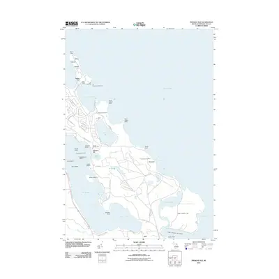
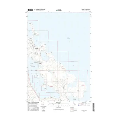
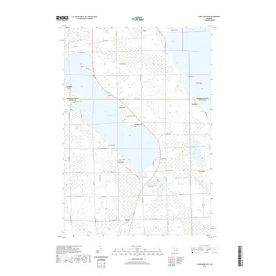
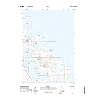
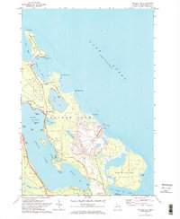 1971 Presque Isle1974 Print · USGSThe Michigan shoreline of Lake Huron in the early 1970s features a unique coastal landscape of twin peninsulas and deep harbors. Researchers can trace the maritime history of Harbor View or locate industrial sites like the Stoneport Quarry and the Old Lighthouse.2 unique versions available
 - 1971 Map of Long Lake West, 1974 Print
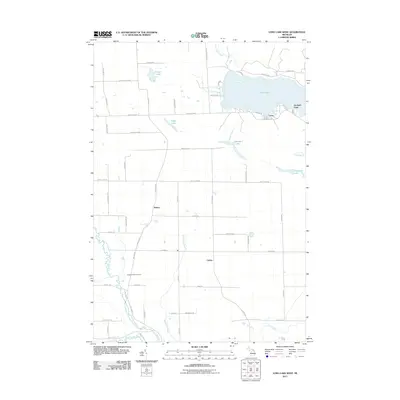
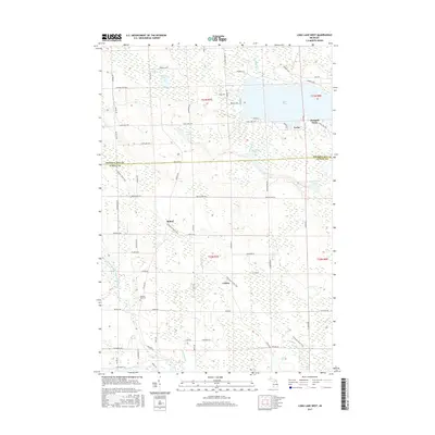
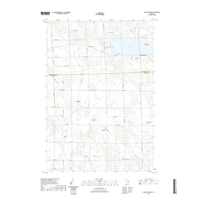
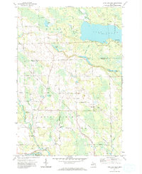 1971 Long Lake West1974 Print · USGSNorthern Michigan's forest and lakeland life are captured here in the early seventies, spanning the line between Presque Isle and Alpena. Trace family roots and local history near Cathro, Pilgrims Rest Cem, and the Maple Ridge Sch.
 - 1971 Map of Thompsons Harbor, 1974 Print
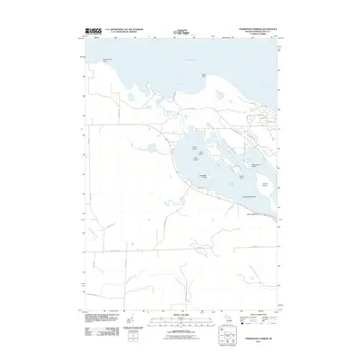
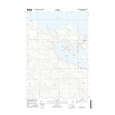
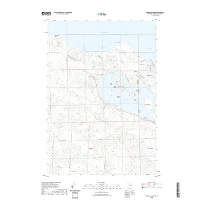
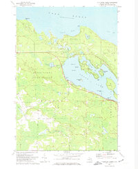 1971 Thompsons Harbor1974 Print · USGSPresque Isle County’s coastal wilderness and the northern reaches of the Lake Huron shoreline are captured here in the early seventies. Genealogists and local historians can trace the islands of Grand Lake, including Macombers Island and Three Sisters Island, alongside the woodland trails of Black Lake State Forest.
 - 1971 Map of Long Lake East, 1974 Print
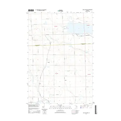
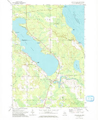 1971 Long Lake East1974 Print · USGSNorthern Michigan's Lake Huron coast and the eastern shores of Long Lake are captured here in the early seventies. Researchers can locate the Quarry at Rockport, the Hinks Sch, and family-named roads like Rayburn Road.
 - 1984 Map of Alpena
 1984 Alpena1984 Print · USGSThe Lake Huron shoreline in the 1980s reveals a region defined by maritime industry, timberlands, and vast inland waters. Genealogists and historians can trace the Detroit and Mackinac Railroad past old settlements like Posen, Hagensville, and the harbor at Rockport.
 - 2011 Map of Long Lake West, 2011 Print
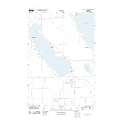
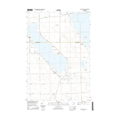
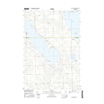
 2011 Long Lake West2011 Print · USGSCovers Presque Isle Township, including Bolton, Leroy, and other nearby areas
 - 2011 Map of Thompsons Harbor, 2011 Print
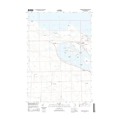
 2011 Thompsons Harbor2011 Print · USGSCovers Presque Isle Township, including Krakow Township, Presque Isle County, and other nearby areas
 - 2011 Map of Presque Isle, 2011 Print
 2011 Presque Isle2011 Print · USGSCovers Presque Isle Township, including Presque Isle, Harbor View, and other nearby areas
 - 2011 Map of Long Lake East, 2011 Print
 2011 Long Lake East2011 Print · USGSCovers Presque Isle Township, including Ashland, Bell, and other nearby areas
 - 2014 Map of Presque Isle, 2014 Print
 2014 Presque Isle2014 Print · USGSCovers Presque Isle Township, including Presque Isle, Harbor View, and other nearby areas
 - 2014 Map of Long Lake East, 2014 Print
 2014 Long Lake East2014 Print · USGSCovers Presque Isle Township, including Ashland, Bell, and other nearby areas
 - 2014 Map of Thompsons Harbor, 2014 Print
 2014 Thompsons Harbor2014 Print · USGSCovers Presque Isle Township, including Krakow Township, Presque Isle County, and other nearby areas
 - 2014 Map of Long Lake West, 2014 Print
 2014 Long Lake West2014 Print · USGSCovers Presque Isle Township, including Bolton, Leroy, and other nearby areas
 - 2017 Map of Presque Isle, 2017 Print
 2017 Presque Isle2017 Print · USGSCovers Presque Isle Township, including Presque Isle, Harbor View, and other nearby areas
 - 2017 Map of Long Lake East, 2017 Print
 2017 Long Lake East2017 Print · USGSCovers Presque Isle Township, including Ashland, Bell, and other nearby areas
 - 2017 Map of Thompsons Harbor, 2017 Print
 2017 Thompsons Harbor2017 Print · USGSCovers Presque Isle Township, including Krakow Township, Presque Isle County, and other nearby areas
 - 2017 Map of Long Lake West, 2017 Print
 2017 Long Lake West2017 Print · USGSCovers Presque Isle Township, including Bolton, Leroy, and other nearby areas
 - 2019 Map of Thompsons Harbor, 2019 Print
 2019 Thompsons Harbor2019 Print · USGSCovers Presque Isle Township, including Krakow Township, Presque Isle County, and other nearby areas
 - 2019 Map of Long Lake East, 2019 Print
 2019 Long Lake East2019 Print · USGSCovers Presque Isle Township, including Ashland, Bell, and other nearby areas
 - 2019 Map of Presque Isle, 2019 Print
 2019 Presque Isle2019 Print · USGSCovers Presque Isle Township, including Presque Isle, Harbor View, and other nearby areas
 - 2019 Map of Long Lake West, 2019 Print
 2019 Long Lake West2019 Print · USGSCovers Presque Isle Township, including Bolton, Leroy, and other nearby areas
Showing maps 1-25 of 29
Top cities near Presque Isle Township
Top neighborhoods of Presque Isle Township
- Harbor View historical maps
- Orchard Point historical maps
- Lafarge Limestone Quarry historical maps
- Bell historical maps
- Presque Isle historical maps
Frequently asked questions
- What are the different types of historical maps available for Presque Isle Township?
- What is the oldest map of Presque Isle Township?
- Where can I purchase historical maps of Presque Isle Township for my home or office?
- Where can I download high-res historical maps of Presque Isle Township?
- Are there historical topographic maps available for Presque Isle Township?
- Is there historical aerial imagery available for Presque Isle Township?
- Where are historical maps of Presque Isle Township sourced from?