
1971 Map of Long Lake West
USGS Topo · Published 1974About this map
Thunder Bay River State Forest and the southern reaches of Long Lake dominate this 1970s landscape along the border of Presque Isle and Alpena counties. The Detroit and Mackinac railroad cuts a diagonal path through the terrain, connecting small rural hubs like Cathro and Bolton. This era shows a community structured around its water resources and township roads, with civic life anchored at the Townhall and the Maple Ridge Sch near the Thunder Bay River.
Find a feature on this map
56 named features on this map. Tap any name to fly to it.
Don’t see what you’re looking for? This feature index may not catch every label — zoom into the map to look around manually.
Map Details
Editions of this 1971 Long Lake West Map
This is the sole edition of this map. No revisions or reprints were ever made.
Other maps of this area

1954 · Alpena
USGS Topo · 1:250,000

1957 · Alpena
USGS Topo · 1:250,000

1958 · Alpena
USGS Topo · 1:250,000

1969 · Alpena
USGS Topo · 1:250,000

1971 · Lake Winyah
USGS Topo · 1:24,000
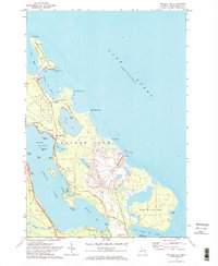
1971 · Presque Isle
USGS Topo · 1:24,000

1971 · Alpena
USGS Topo · 1:24,000

1971 · Polaski
USGS Topo · 1:24,000
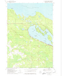
1971 · Thompsons Harbor
USGS Topo · 1:24,000
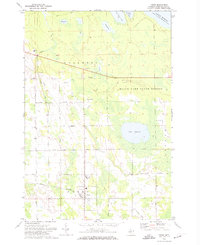
1971 · Posen
USGS Topo · 1:24,000