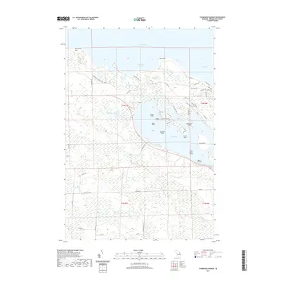
2019 Map of Thompsons Harbor
USGS Topo · Published 2019About this map
Thompson's Harbor State Park dominates this northern stretch of Michigan shoreline, preserving a landscape of coastal dunes and wetlands along the edge of Lake Huron. The map reveals a complex aquatic geography where Thompsons Harbor and North Bay meet the rocky points of the coastline, including Observatory Point and Black Point. Inland, the northern reaches of Grand Lake are defined by an archipelago of named landforms such as Indian Island, Allen Island, and Three Sisters Island. The drainage patterns are clearly visible through Grand Lake Outlet and several creeks, including Schalks Cr and Monaghan Cr. Local road networks like Old State Rd and Misiak Hwy provide access to the various points and bays, reflecting the area's development around its significant natural water features and shoreline topography.
Find a feature on this map
61 named features on this map. Tap any name to fly to it.
Don’t see what you’re looking for? This feature index may not catch every label — zoom into the map to look around manually.
Map Details
Editions of this 2019 Thompsons Harbor Map
This is the sole edition of this map. No revisions or reprints were ever made.
Other maps of this area
1954 · Alpena
USGS Topo · 1:250,000
1957 · Alpena
USGS Topo · 1:250,000
1958 · Alpena
USGS Topo · 1:250,000
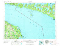
1969 · Alpena
USGS Topo · 1:250,000
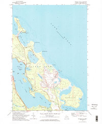
1971 · Presque Isle
USGS Topo · 1:24,000
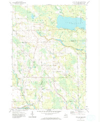
1971 · Long Lake West
USGS Topo · 1:24,000
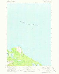
1971 · Adams Point
USGS Topo · 1:24,000
1971 · Polaski
USGS Topo · 1:24,000
1971 · Thompsons Harbor
USGS Topo · 1:24,000
1971 · Posen
USGS Topo · 1:24,000