Old Maps of Presque Isle Township, Michigan for Hiking & Exploration
Hike through history with 29 historic maps of Presque Isle Township. Explore old trails, ghost towns, and forgotten backroads — perfect for outdoor adventurers and local explorers.
- Rediscover forgotten places: Map out old mining camps, roads, and footpaths that no longer exist on modern maps.
- Layer with modern tools: Combine with LiDAR or satellite views to plan hikes through historical terrain.
- Made for exploration: Popular among hikers, overlanders, and local history lovers.
Use these maps to find adventure and explore the hidden past of Presque Isle Township.
Presque Isle Township, MI maps
(29)- 1954 Map of Alpena, 1978 Print
 1954 Alpena1978 Print · USGSThe northern waters of Lake Huron meet the Ontario islands during the mid-1950s, a time of active coastal shipping and timber management. Genealogists and historians can trace the Detroit and Mackinac rail line through Alpena or locate rural landmarks like St. Catharine Ch and Forty Mile Point.2 unique versions available
 - 1957 Map of Alpena
 1957 Alpena1957 Print · USGSNortheast Michigan and the islands of the North Channel are captured in the mid-1950s, showing the vital maritime and rail connections of the region. Researchers can trace the path of the Detroit and Mackinac RR or locate small settlements like Meldrum Bay and Lachine.
 - 1958 Map of Alpena
 1958 Alpena1958 Print · USGSThe northern reaches of Lake Huron and the Ontario islands are mapped here in the late fifties. You can trace the Detroit and Mackinac RR through Rogers City or locate remote outposts like Meldrum Bay and St. Vital church.
 - 1969 Map of Alpena
 1969 Alpena1969 Print · USGSThe Lake Huron coastline and the Manitoulin islands come alive in this mid-century survey of the Michigan-Ontario border. Genealogists and historians can trace the Detroit and Mackinac rail line through settlements like Lachine and Cathro, or locate the numerous island reservations including Obigewong Indian Reservation No 21.
 - 1971 Map of Presque Isle, 1974 Print
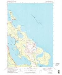 1971 Presque Isle1974 Print · USGSThe Michigan shoreline of Lake Huron in the early 1970s features a unique coastal landscape of twin peninsulas and deep harbors. Researchers can trace the maritime history of Harbor View or locate industrial sites like the Stoneport Quarry and the Old Lighthouse.2 unique versions available
 - 1971 Map of Long Lake West, 1974 Print
 1971 Long Lake West1974 Print · USGSNorthern Michigan's forest and lakeland life are captured here in the early seventies, spanning the line between Presque Isle and Alpena. Trace family roots and local history near Cathro, Pilgrims Rest Cem, and the Maple Ridge Sch.
 - 1971 Map of Thompsons Harbor, 1974 Print
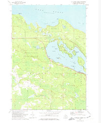 1971 Thompsons Harbor1974 Print · USGSPresque Isle County’s coastal wilderness and the northern reaches of the Lake Huron shoreline are captured here in the early seventies. Genealogists and local historians can trace the islands of Grand Lake, including Macombers Island and Three Sisters Island, alongside the woodland trails of Black Lake State Forest.
 - 1971 Map of Long Lake East, 1974 Print
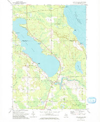 1971 Long Lake East1974 Print · USGSNorthern Michigan's Lake Huron coast and the eastern shores of Long Lake are captured here in the early seventies. Researchers can locate the Quarry at Rockport, the Hinks Sch, and family-named roads like Rayburn Road.
 - 1984 Map of Alpena
 1984 Alpena1984 Print · USGSThe Lake Huron shoreline in the 1980s reveals a region defined by maritime industry, timberlands, and vast inland waters. Genealogists and historians can trace the Detroit and Mackinac Railroad past old settlements like Posen, Hagensville, and the harbor at Rockport.
 - 2011 Map of Long Lake West, 2011 Print
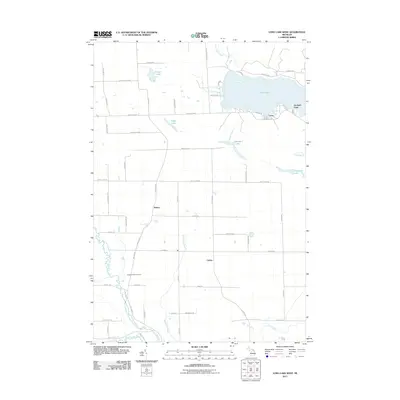 2011 Long Lake West2011 Print · USGSPresque Isle County comes into focus in this early twenty-first-century survey of the lake country around Alpena. Genealogists and local historians can trace the family-named road networks connecting Bolton and Cathro or locate the Pilgrims Rest Cemetery near the North Branch Thunder Bay River.
 - 2011 Map of Thompsons Harbor, 2011 Print
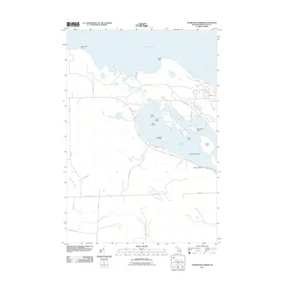 2011 Thompsons Harbor2011 Print · USGSThe Lake Huron coastline and Grand Lake islands are captured here in the early twenty-first century. Genealogists and local historians can trace shoreline developments and landmarks like Thompsons Harbor, Grand Island, and Birch Tree Point.
 - 2011 Map of Presque Isle, 2011 Print
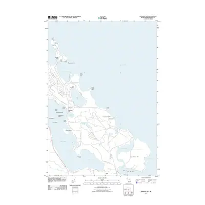 2011 Presque Isle2011 Print · USGSThe Lake Huron coastline and the intricate peninsula of Presque Isle are captured here in the early twenty-first century. Genealogists and local historians can trace family sites near Presque Isle Cemetery, the Old Presque Isle Lighthouse, and the village of Bell.
 - 2011 Map of Long Lake East, 2011 Print
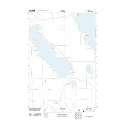 2011 Long Lake East2011 Print · USGSThe Lake Huron coastline and its inland neighbors are captured here in the early twenty-first century. Researchers can trace the development of lakeside settlements like Ashland and Lakewood or locate the Silver City Airpark and the coastal landing at Rockport.
 - 2014 Map of Presque Isle, 2014 Print
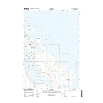 2014 Presque Isle2014 Print · USGSPresque Isle and its harbor are captured in this recent survey of the Michigan coast, where residential development meets the Lake Huron shoreline. Genealogists and local researchers can trace old family roads and locate the Presque Isle Cem or the industrial docks at Stoneport.
 - 2014 Map of Long Lake East, 2014 Print
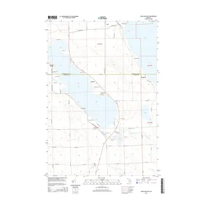 2014 Long Lake East2014 Print · USGSThe Lake Huron shoreline and the quiet resort communities of Alpena and Presque Isle Counties are captured here in the early twenty-first century. Researchers can trace local landmarks like the Silver City Airpark, the lakeside settlement of Lakewood, and the coastal site of Rockport.
 - 2014 Map of Thompsons Harbor, 2014 Print
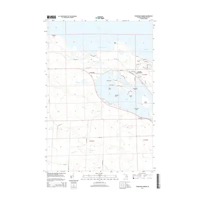 2014 Thompsons Harbor2014 Print · USGSThe Lake Huron shoreline in Presque Isle County appears here in the mid-2010s, revealing a landscape of intricate bays and island-dotted lakes. Genealogists and local historians can trace shoreline developments near Presque Isle Harbor and locate family landmarks around Grand Lake or Macombers Island.
 - 2014 Map of Long Lake West, 2014 Print
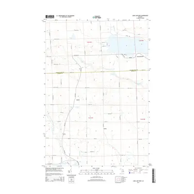 2014 Long Lake West2014 Print · USGSPresque Isle and Alpena Counties are shown in the early 2010s, where the Thunder Bay River watershed meets several large inland lakes. Researchers can locate the Pilgrims Rest Cemetery and trace the small settlements at Bolton, Cathro, and Leroy.
 - 2017 Map of Presque Isle, 2017 Print
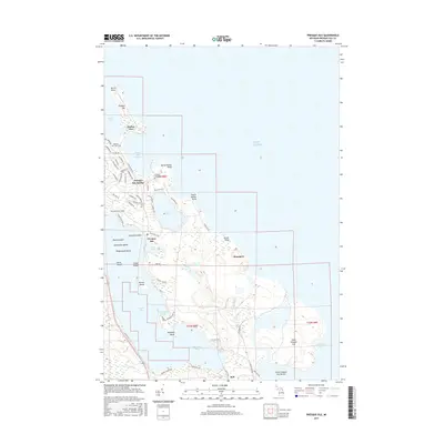 2017 Presque Isle2017 Print · USGSThe Lake Huron coastline near Presque Isle shows a landscape of deep harbors and limestone points as it appeared in recent years. Researchers can find family history at Presque Isle Cem or trace the shores of Grand Lake and False Presque Isle.
 - 2017 Map of Long Lake East, 2017 Print
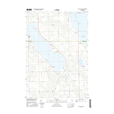 2017 Long Lake East2017 Print · USGSThe northern Michigan shoreline meets the eastern edge of Long Lake in this 2017 survey of the Alpena and Presque Isle border. Local historians can trace the lakeside development of Lakewood and Ashland or locate the coastal landing at Rockport.
 - 2017 Map of Thompsons Harbor, 2017 Print
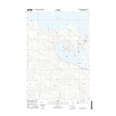 2017 Thompsons Harbor2017 Print · USGSThe Lake Huron shoreline and the northern reaches of Grand Lake are captured here in the late 2010s. Researchers can trace the development near Presque Isle Harbor or locate coastal landmarks like Birch Tree Point and Indian Island.
 - 2017 Map of Long Lake West, 2017 Print
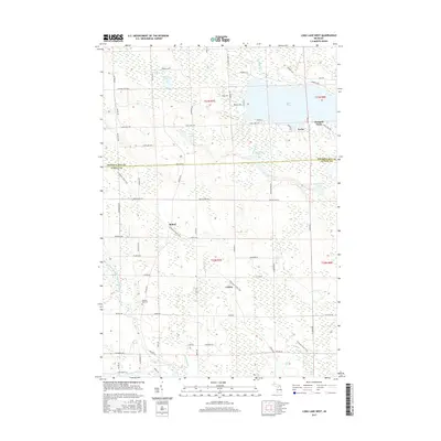 2017 Long Lake West2017 Print · USGSPresque Isle and Alpena Counties are shown in this modern survey of the lake-strewn Michigan countryside. Genealogists can locate family landmarks like Pilgrims Rest Cem and trace old routes through Bolton, Cathro, and along Long Lake.
 - 2019 Map of Thompsons Harbor, 2019 Print
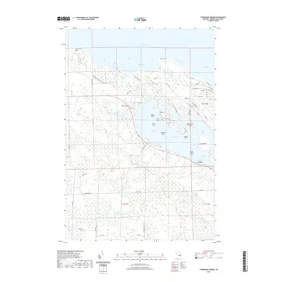 2019 Thompsons Harbor2019 Print · USGSThe Lake Huron shoreline and the island-studded waters of Grand Lake define this Presque Isle County landscape in the late twenty-teens. Genealogists and local historians can trace shoreline landmarks from Observatory Point to the sheltered waters of Thompsons Harbor and Black Bass Bay.
 - 2019 Map of Long Lake East, 2019 Print
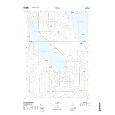 2019 Long Lake East2019 Print · USGSPresque Isle and Alpena counties meet along the shores of the Great Lakes in the late 2010s. Local historians can trace the lakeside developments at Lakewood and Breezy Point, or locate the inland Silver City Airpark and the northern settlement of Bell.
 - 2019 Map of Presque Isle, 2019 Print
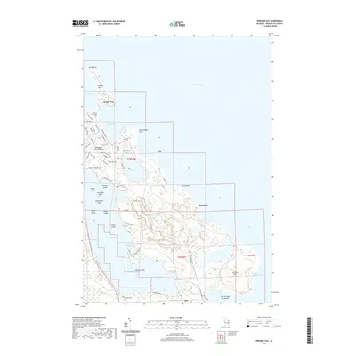 2019 Presque Isle2019 Print · USGSPresque Isle and its surrounding peninsula were documented in the late 2010s as a landscape of coastal communities and protected harbors. Researchers can trace local landmarks like the Adeline Sims Grave, the industrial site at Stoneport, and the old settlement of Bell.
 - 2019 Map of Long Lake West, 2019 Print
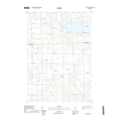 2019 Long Lake West2019 Print · USGSPresque Isle and Alpena counties are captured here in the late twenty-teens, showing the rural settlements and lake country north of Thunder Bay. Researchers can locate Pilgrims Rest Cem, follow the N Eastern State Trail, and trace the shoreline at Leroy and Orchard Point.
Showing maps 1-25 of 29
Top cities near Presque Isle Township
Top neighborhoods of Presque Isle Township
- Harbor View historical maps
- Orchard Point historical maps
- Lafarge Limestone Quarry historical maps
- Bell historical maps
- Presque Isle historical maps
Frequently asked questions
- What are the different types of historical maps available for Presque Isle Township?
- What is the oldest map of Presque Isle Township?
- Where can I purchase historical maps of Presque Isle Township for my home or office?
- Where can I download high-res historical maps of Presque Isle Township?
- Are there historical topographic maps available for Presque Isle Township?
- Is there historical aerial imagery available for Presque Isle Township?
- Where are historical maps of Presque Isle Township sourced from?