2000s (21st Century) Maps of Germfask Township, Michigan
Explore 20 historic maps of Germfask Township from the 2000s (21st Century). These maps offer a rare glimpse into what life looked like during the 2000s — showing old roads, neighborhoods, homes, and landmarks that have changed or disappeared over time.
Whether you're researching your family's past, planning a metal detecting trip, or studying how Germfask Township's landscape evolved across the 2000s, these high-resolution maps are a powerful tool for exploring the history of this region.
- Focus on a specific era: All maps on this page are from the 2000s, giving you a focused view of this time period.
- See what’s changed: Compare century-old streets, trails, and buildings to today's modern landscape using overlays and satellite layers.
- Research with precision: Use these maps for genealogy, historical research, land use analysis, or educational projects.
- View, download, or print: Maps are fully viewable online in high resolution, and can be downloaded or printed for your own records.
Start exploring Germfask Township's history through authentic maps from the 2000s. This is your window into the past.
Germfask Township, MI maps
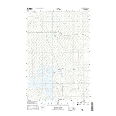
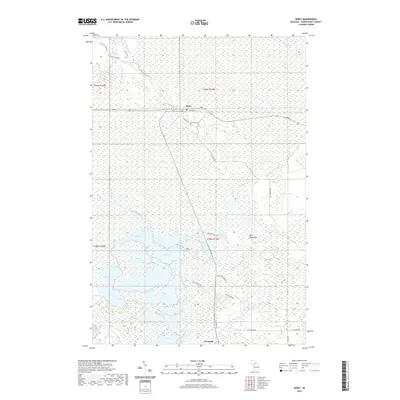
(20)- 2011 Map of Seney, 2011 Print
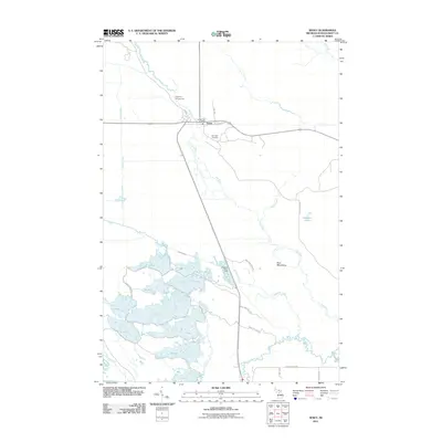 2011 Seney2011 Print · USGSCovers Germfask Township, including Seney, Doyle Township, and other nearby areas
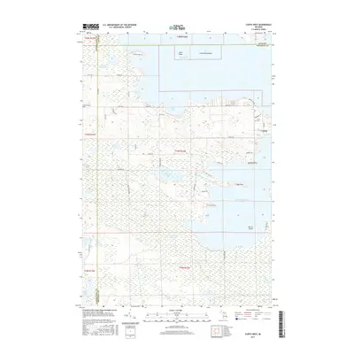
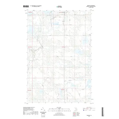
 - 2011 Map of Curtis West, 2011 Print
 2011 Curtis West2011 Print · USGSCovers Germfask Township, including Newton Township, Portage Township, and other nearby areas
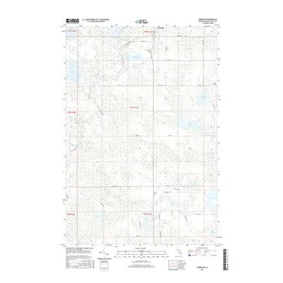
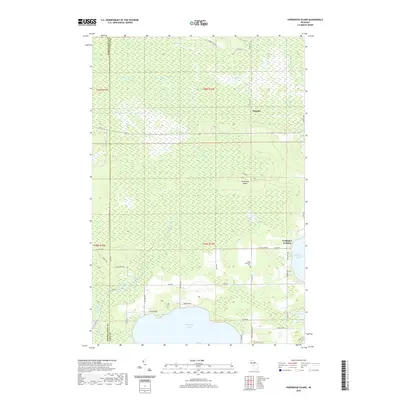
 - 2011 Map of Germfask, 2011 Print
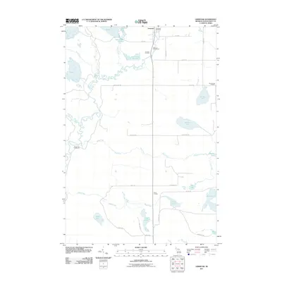 2011 Germfask2011 Print · USGSCovers Germfask Township, including Germfask, Doyle Township, and other nearby areas
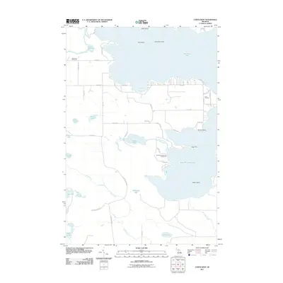
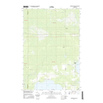
 - 2011 Map of Hardwood Island, 2011 Print
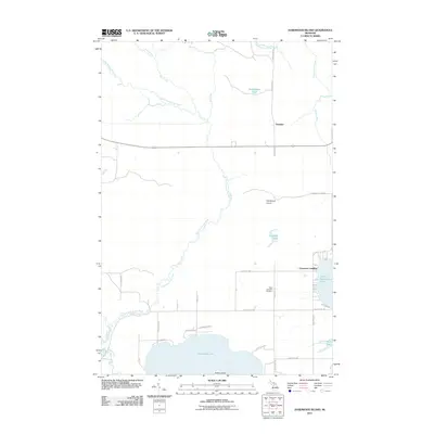 2011 Hardwood Island2011 Print · USGSCovers Germfask Township, including Columbus Township, Seney Township, and other nearby areas
 - 2014 Map of Curtis West, 2014 Print
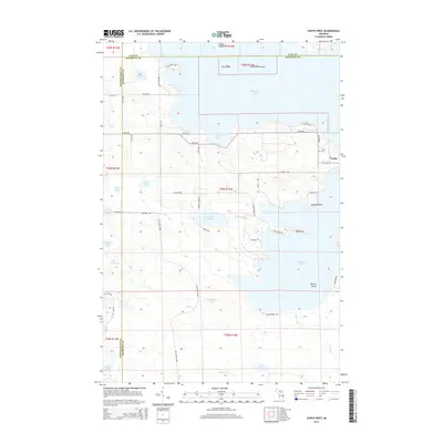 2014 Curtis West2014 Print · USGSCovers Germfask Township, including Newton Township, Portage Township, and other nearby areas
 - 2014 Map of Germfask, 2014 Print
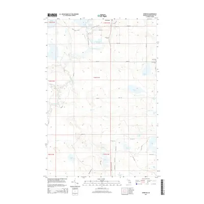 2014 Germfask2014 Print · USGSCovers Germfask Township, including Germfask, Doyle Township, and other nearby areas
 - 2014 Map of Hardwood Island, 2014 Print
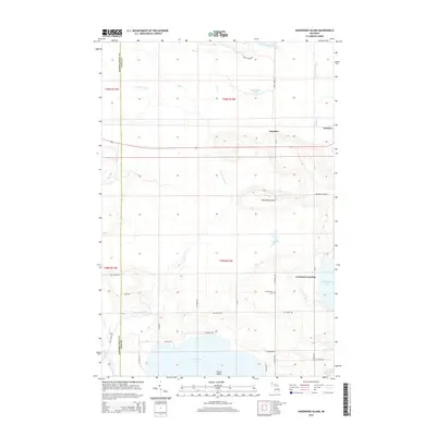 2014 Hardwood Island2014 Print · USGSCovers Germfask Township, including Columbus Township, Seney Township, and other nearby areas
 - 2014 Map of Seney, 2014 Print
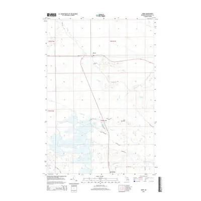 2014 Seney2014 Print · USGSCovers Germfask Township, including Seney, Doyle Township, and other nearby areas
 - 2017 Map of Seney, 2017 Print
 2017 Seney2017 Print · USGSCovers Germfask Township, including Seney, Doyle Township, and other nearby areas
 - 2017 Map of Hardwood Island, 2017 Print
 2017 Hardwood Island2017 Print · USGSCovers Germfask Township, including Columbus Township, Seney Township, and other nearby areas
 - 2017 Map of Germfask, 2017 Print
 2017 Germfask2017 Print · USGSCovers Germfask Township, including Germfask, Doyle Township, and other nearby areas
 - 2017 Map of Curtis West, 2017 Print
 2017 Curtis West2017 Print · USGSCovers Germfask Township, including Newton Township, Portage Township, and other nearby areas
 - 2019 Map of Seney, 2019 Print
 2019 Seney2019 Print · USGSCovers Germfask Township, including Seney, Doyle Township, and other nearby areas
 - 2019 Map of Hardwood Island, 2019 Print
 2019 Hardwood Island2019 Print · USGSCovers Germfask Township, including Columbus Township, Seney Township, and other nearby areas
 - 2019 Map of Germfask, 2019 Print
 2019 Germfask2019 Print · USGSCovers Germfask Township, including Germfask, Doyle Township, and other nearby areas
 - 2019 Map of Curtis West, 2019 Print
 2019 Curtis West2019 Print · USGSCovers Germfask Township, including Newton Township, Portage Township, and other nearby areas
 - 2023 Map of Hardwood Island, 2023 Print
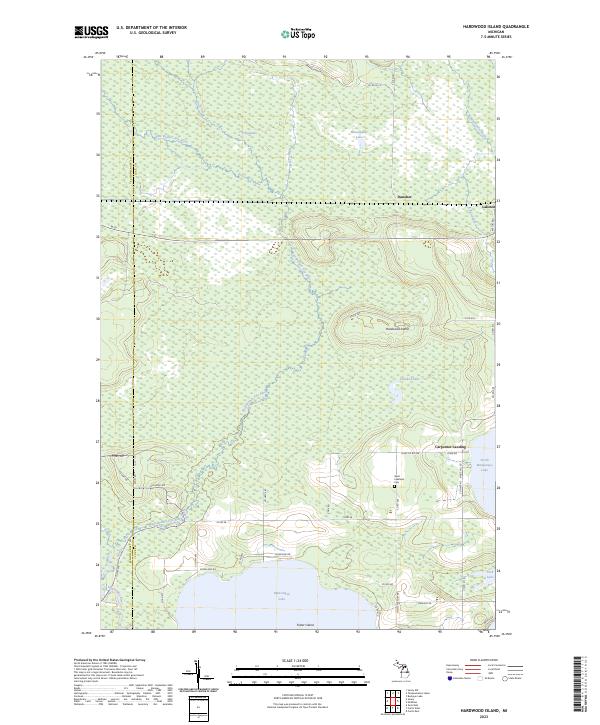 2023 Hardwood Island2023 Print · USGSModern-day Luce and Schoolcraft counties are shown here as a complex network of wetlands and rivers. Researchers can trace the rural communities of Danaher and Laketon or find family markers at the West Lakefield Cem.
 - 2023 Map of Seney, 2023 Print
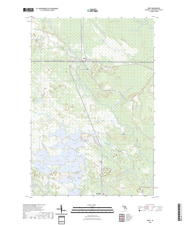 2023 Seney2023 Print · USGSIn the modern Michigan wilderness, this survey tracks the intricate water systems and conservation pools of Schoolcraft County. Researchers can locate Boot Hill Cem near Seney or trace the Fox River down toward Germfask.
 - 2023 Map of Germfask, 2023 Print
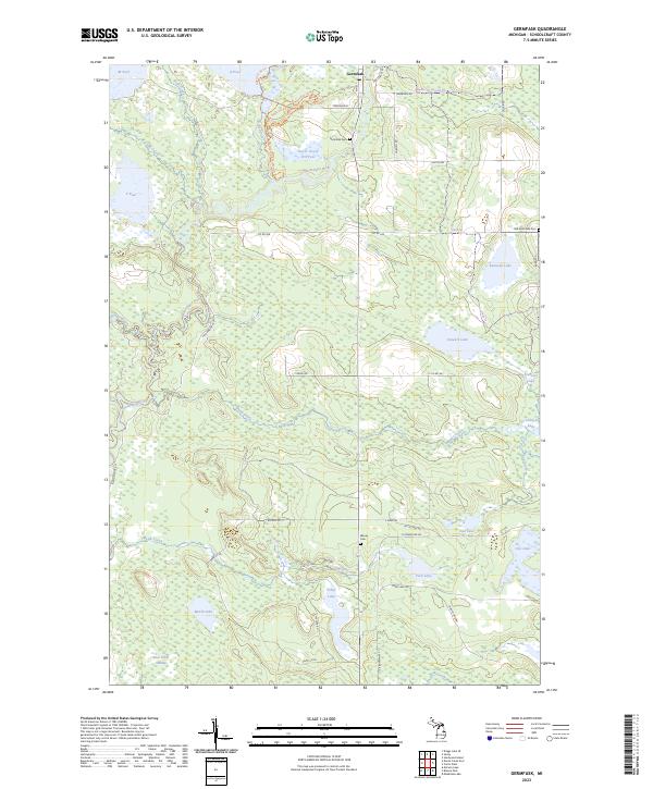 2023 Germfask2023 Print · USGSSchoolcraft County in the early 2020s remains a land of river junctions and secluded lakes. Family historians can trace three local burial grounds including Germfask Cem and Blaney Cem, while outdoor researchers can map the Manistique River and Bear Creek Swamp.
 - 2023 Map of Curtis West, 2023 Print
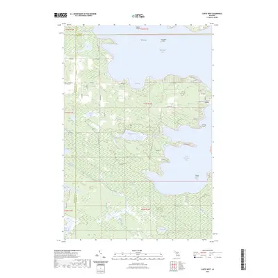 2023 Curtis West2023 Print · USGSThe lake-strewn landscape between Schoolcraft, Luce, and Mackinac counties is captured here in the early twenty-first century. Genealogists and researchers can locate Curtis Cem, the Old Bryan Grade, and the settlement of Curtis nestled among the points and bays.
End of results
Showing maps 1-20 of 20
Top cities near Germfask Township
Top neighborhoods of Germfask Township
Frequently asked questions
- What are the different types of historical maps available for Germfask Township?
- What is the oldest map of Germfask Township?
- Where can I purchase historical maps of Germfask Township for my home or office?
- Where can I download high-res historical maps of Germfask Township?
- Are there historical topographic maps available for Germfask Township?
- Is there historical aerial imagery available for Germfask Township?
- Where are historical maps of Germfask Township sourced from?